MyTopo
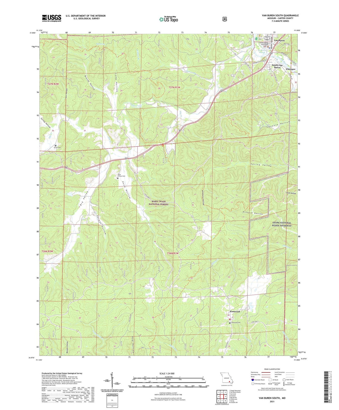
Van Buren South Missouri US Topo Map
Couldn't load pickup availability
Also explore the Van Buren South Forest Service Topo of this same quad for updated USFS data
2021 topographic map quadrangle Van Buren South in the state of Missouri. Scale: 1:24000. Based on the newly updated USGS 7.5' US Topo map series, this map is in the following counties: Carter. The map contains contour data, water features, and other items you are used to seeing on USGS maps, but also has updated roads and other features. This is the next generation of topographic maps. Printed on high-quality waterproof paper with UV fade-resistant inks.
Quads adjacent to this one:
West: Fremont
Northwest: Stegall Mountain
North: Van Buren North
Northeast: Garwood
East: Big Spring
Southeast: Grandin SW
South: Handy
Southwest: Wilderness
This map covers the same area as the classic USGS quad with code o36091h1.
Contains the following named places: Big Spring Lookout Tower, Blue Ridge Corral Picnic Area, Brushy Hollow, Carter County Sheriff's Office, Chicopee, Cummings, Dry Valley, Dry Valley Church, Dry Valley School, Eagle Lookout Tower, Eastwood, Eastwood Cemetery, Eastwood Fire Protection District, Eastwood Lookout Tower, Kinnard School, Lee Hollow, Long Hollow, Mint Spring, Missouri Department of Conservation Forestry Ozark Regional Field Fire Office Van Buren, Ozark National Scenic River Fire Cache, Ozark Trail Trialhead, Pike Creek, Poca Hollow, Poca Hollow Cemetery, Secesh Hollow, South Van Buren, Tie Broom Stretch, Township of Kelly, Turley Cemetery, Turley Hollow, Van Buren, Van Buren Post Office, Walker Hollow, Wayside Carter, Wilburn Branch, Wildhorse Hollow, ZIP Code: 63965