MyTopo
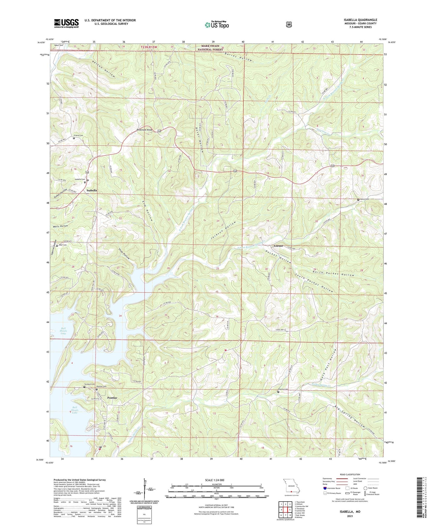
Isabella Missouri US Topo Map
Couldn't load pickup availability
Also explore the Isabella Forest Service Topo of this same quad for updated USFS data
2021 topographic map quadrangle Isabella in the state of Missouri. Scale: 1:24000. Based on the newly updated USGS 7.5' US Topo map series, this map is in the following counties: Ozark. The map contains contour data, water features, and other items you are used to seeing on USGS maps, but also has updated roads and other features. This is the next generation of topographic maps. Printed on high-quality waterproof paper with UV fade-resistant inks.
Quads adjacent to this one:
West: Theodosia
Northwest: Thornfield
North: Willhoit
Northeast: Gainesville NW
East: Gainesville
Southeast: Midway
South: Bull Shoals
Southwest: Cotter NW
This map covers the same area as the classic USGS quad with code o36092e5.
Contains the following named places: Barren Fork, Big Spring Hollow, Bratten Spring Creek, Burse Ford, Charity Cemetery, Charity School, Dillia, Dover Hollow, Elm Hollow, Freeman Creek, Friend Cemetery, Gate Post Hollow, Idumea School, Isabella, Isabella Cemetery, Isabella Post Office, Isabella Volunteer Fire Station, Jackson Hollow, Kelton Hollow, Little Creek, Locust, Locust School, Nave Ford, North Fork Bratten Spring Creek, North Pocket Hollow, Pleasant Grove School, Pocket Hollow, Pontiac, Pontiac - Price Place Volunteer Fire Department, Pontiac Census Designated Place, Pontiac Church, Pontiac Public Use Area, Shop Hollow, South Fork Bratten Spring Creek, South Pocket Hollow, Spring Creek Public Use Area, Timber Knob Volunteer Fire Department, Township of Jasper, Township of Pontiac, Turnbull Cemetery, Upton Cemetery, Wilkinson Knob, Wolf Cemetery, ZIP Codes: 65676, 65729