MyTopo
Lake Thunderhead Missouri US Topo Map
Couldn't load pickup availability
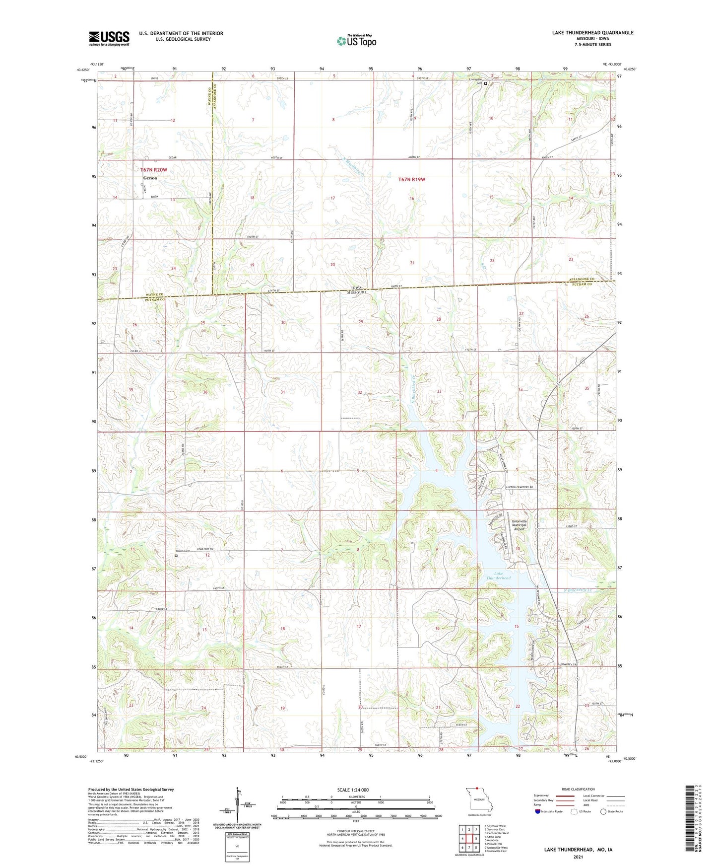
2021 topographic map quadrangle Lake Thunderhead in the states of Missouri, Iowa. Scale: 1:24000. Based on the newly updated USGS 7.5' US Topo map series, this map is in the following counties: Putnam, Appanoose, Wayne. The map contains contour data, water features, and other items you are used to seeing on USGS maps, but also has updated roads and other features. This is the next generation of topographic maps. Printed on high-quality waterproof paper with UV fade-resistant inks.
Quads adjacent to this one:
West: Saint John
Northwest: Seymour West
North: Seymour East
Northeast: Centerville West
East: Mendota
Southeast: Unionville East
South: Unionville West
Southwest: Pollock NW
Contains the following named places: Brown School, City Lake, Delpha, Fife School, Genoa, Genoa Post Office, Lake Mahoney Dam, Lake Thunderhead, Lake Thunderhead Dam, Livingston Cemetery, McKay School, Mount Zion Church, Thornburg School, Township of Union, Union Cemetery, Union Church, Unionville Municipal Airport, Waite School, Welland Post Office, Wesley Chapel, Wolfe School