MyTopo
Mexico East Missouri US Topo Map
Couldn't load pickup availability
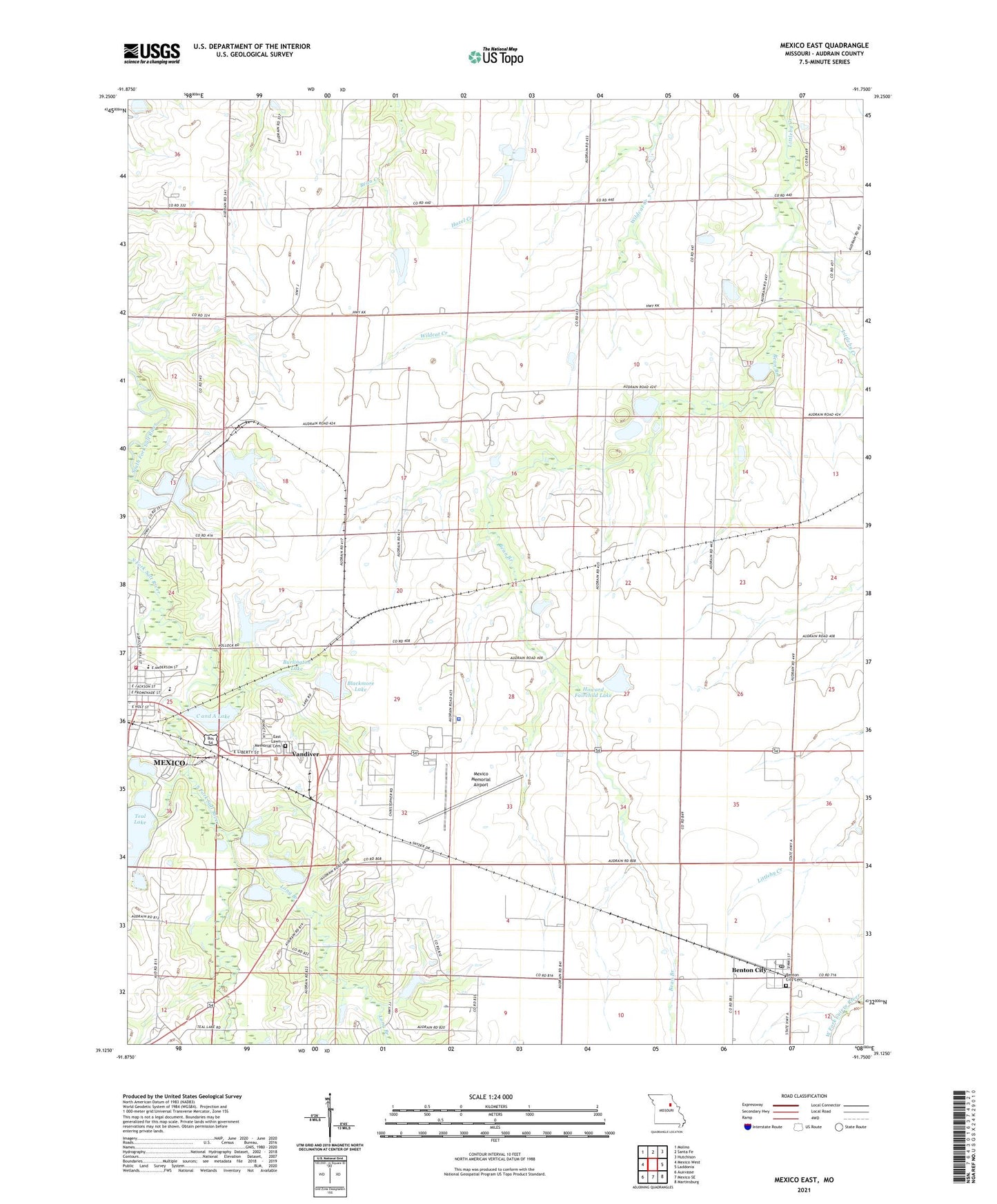
2021 topographic map quadrangle Mexico East in the state of Missouri. Scale: 1:24000. Based on the newly updated USGS 7.5' US Topo map series, this map is in the following counties: Audrain. The map contains contour data, water features, and other items you are used to seeing on USGS maps, but also has updated roads and other features. This is the next generation of topographic maps. Printed on high-quality waterproof paper with UV fade-resistant inks.
Quads adjacent to this one:
West: Mexico West
Northwest: Molino
North: Santa Fe
Northeast: Hutchison
East: Laddonia
Southeast: Martinsburg
South: Mexico SE
Southwest: Auxvasse
Contains the following named places: Audrain County, Audrain County Sheriff's Office, Bean Branch, Benton City, Benton City Cemetery, Benton City Post Office, Blackmore Lake, Blackmore Lake Dam, Burlington Lake, Burlington Lake Dam, C and A Lake, C and A Lake Dam, City of Mexico, Diane Lake, Diane Lake Dam, East Lawn Memorial Cemetery, Erisman School, Fairchild Dam, Hedgedale School, Howard Fairchild Lake, KXEO-AM (Mexico), Lawder School, Leirheimer Lake Dam, Liberty School, Lierheimer Lake Dam, Little Dixie Fire Protection District Station 1 Headquarters, Littleby Church, Littleby Station, Long Branch, McGee Dam, McMillan Elementary School, Mexico Country Club, Mexico Memorial Airport, Missouri Military Academy, Number 101 Lake, Oren McGees Dam, Pehle Lake Dam, Prairie Lea School, Teal Lake, Teal Lake Dam, Township of South Fork, Vandiver, Village of Benton City, Village of Vandiver, Washington School, ZIP Code: 65232