
MyTopo
Montgomery City Missouri US Topo Map
Couldn't load pickup availability
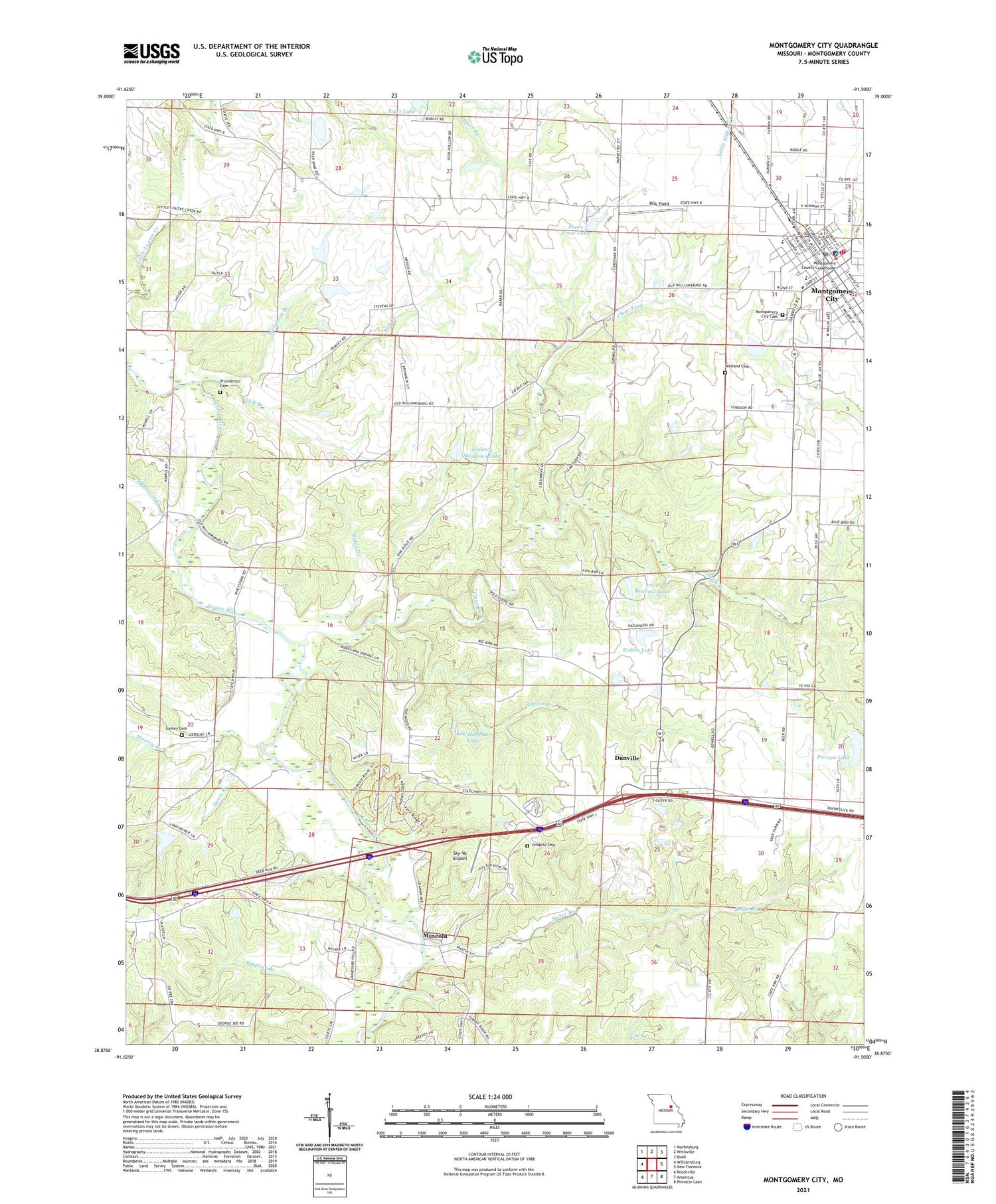
2021 topographic map quadrangle Montgomery City in the state of Missouri. Scale: 1:24000. Based on the newly updated USGS 7.5' US Topo map series, this map is in the following counties: Montgomery. The map contains contour data, water features, and other items you are used to seeing on USGS maps, but also has updated roads and other features. This is the next generation of topographic maps. Printed on high-quality waterproof paper with UV fade-resistant inks.
Quads adjacent to this one:
West: Williamsburg
Northwest: Martinsburg
North: Wellsville
Northeast: Buell
East: New Florence
Southeast: Pinnacle Lake
South: Americus
Southwest: Readsville
Contains the following named places: Baldwin State Wildlife Area, Bates Branch, Bob Hoffman Lake, City of Montgomery City, Clear Fork, Conley Cemetery, Conley School, Danville, Danville Census Designated Place, Davis Branch, Easterday Dam, Feldkamp Lake Dam, Graham Cave State Park, Graystone Park, Gregory Cemetery, Harper School, Hickory Meadows Lake, Hoffman Lake Dam, Irvin Beabout Dam, Irvin Beabout Lake, KMCR-FM (Montgomery City), Lick Branch, Little Loutre Creek, Massey Branch, McClain Lake Dam, McIntosh Branch, Mineola, Mineola State Wildlife Area, Montgomery City, Montgomery City Cemetery, Montgomery City Elementary School, Montgomery City Police Department, Montgomery City Post Office, Montgomery County Sheriff's Office, Montgomery Rural Fire Protection District, Montgomery Volunteer Fire Protection District, Nobles Lake, Peytonia School, Pierson Lake, Pointdexter Lake Dam, Polizzi Lake Dam, Providence Cemetery, RGL Field, Rumbo Branch, Sallee Branch, Shore Crest Lake, Sky-Vu Airport, Smith Branch, Starr Lake, Stevens Lake North Dam, Stevens Lake South Dam, Sturgeon Lake Dam, Sunny Hill School, Township of Danville, Union Grove School, Verbena Dale School, Werges Lake Dam, Whetstone Creek, Worland Cemetery, ZIP Code: 63361


