MyTopo
Mound City Missouri US Topo Map
Couldn't load pickup availability
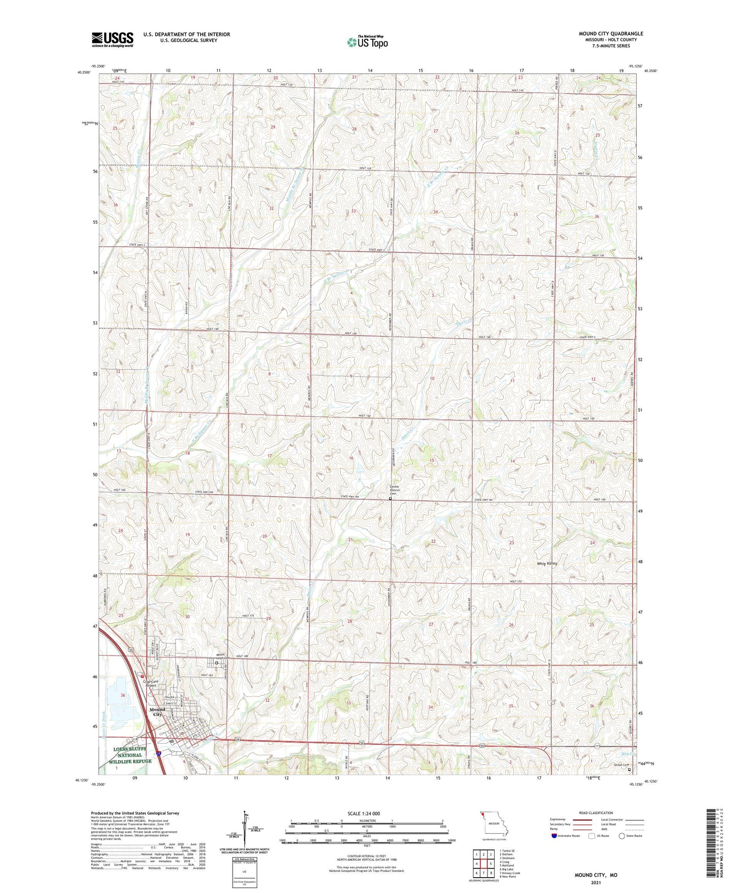
2021 topographic map quadrangle Mound City in the state of Missouri. Scale: 1:24000. Based on the newly updated USGS 7.5' US Topo map series, this map is in the following counties: Holt. The map contains contour data, water features, and other items you are used to seeing on USGS maps, but also has updated roads and other features. This is the next generation of topographic maps. Printed on high-quality waterproof paper with UV fade-resistant inks.
Quads adjacent to this one:
West: Craig
Northwest: Tarkio SE
North: Dotham
Northeast: Skidmore
East: Maitland
Southeast: New Point
South: Kimsey Creek
Southwest: Big Lake
Contains the following named places: Bethel Church, Center District Cemetery, Center School, City of Mound City, Crop Care Airport, Crosen School, Earl Limpp Lake Dam, Ebenezer Church, Franklin School, Gillis Lake, Gillis Lake Dam, Gordon School, Harmony School, Limpp Lake, Lloyd Norman Dam, Lloyd Norman Lake, Middle Branch Squaw Creek, Mineral Springs School, Minnesota Valley School, Mound City, Mound City Elementary School, Mound City High School, Mound City Police Department, Mound City Post Office, Mound City Rural Fire and Rescue, Mount Hope Cemetery, Number 1 Canal, Pine Hill School, Pleasant Hill School, Ross Grove School, Shiloh Cemetery, Shiloh Church, Squaw Creek School, Tenney-Hall Dam, Tenney-Hall Lake, Township of Liberty, Trena Bomar Dam, Trenas Lake, ZIP Code: 64470