MyTopo
Tarkio SE Missouri US Topo Map
Couldn't load pickup availability
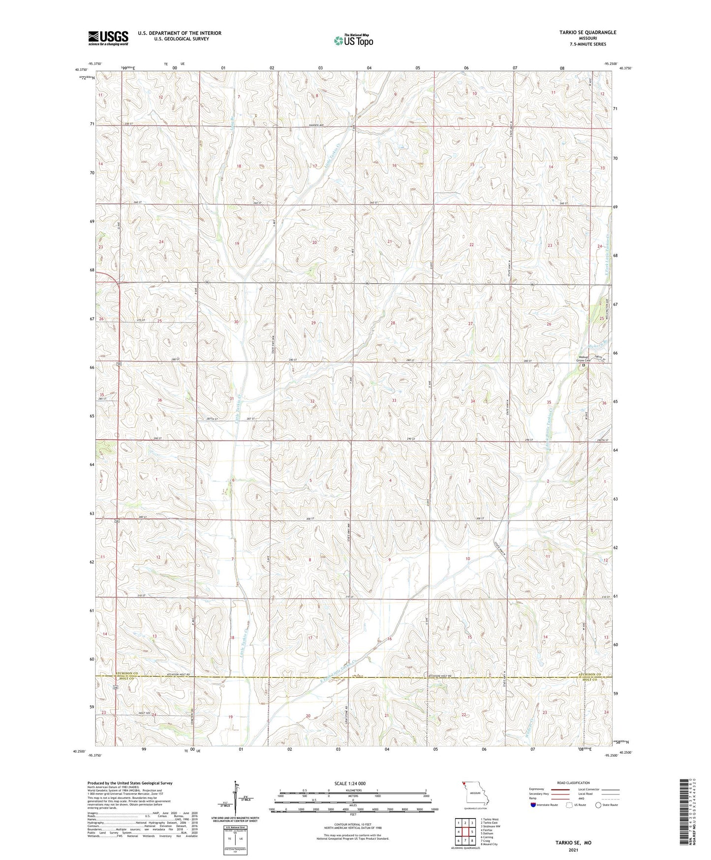
2021 topographic map quadrangle Tarkio SE in the state of Missouri. Scale: 1:24000. Based on the newly updated USGS 7.5' US Topo map series, this map is in the following counties: Atchison, Holt. The map contains contour data, water features, and other items you are used to seeing on USGS maps, but also has updated roads and other features. This is the next generation of topographic maps. Printed on high-quality waterproof paper with UV fade-resistant inks.
Quads adjacent to this one:
West: Fairfax
Northwest: Tarkio West
North: Tarkio East
Northeast: Skidmore NW
East: Dotham
Southeast: Mound City
South: Craig
Southwest: Corning
This map covers the same area as the classic USGS quad with code o40095c3.
Contains the following named places: Cleveland Airport, Elk Dale School, Evening Star School, Hickory Branch, Houston School, Hudson School, Long Branch, Long Branch School, Sharps Grove Church, South Center School, Spring Valley School, Township of Dale, Walkup Church, Walkup Grove Cemetery, Walkup School, Wolf School