MyTopo
Napton Missouri US Topo Map
Couldn't load pickup availability
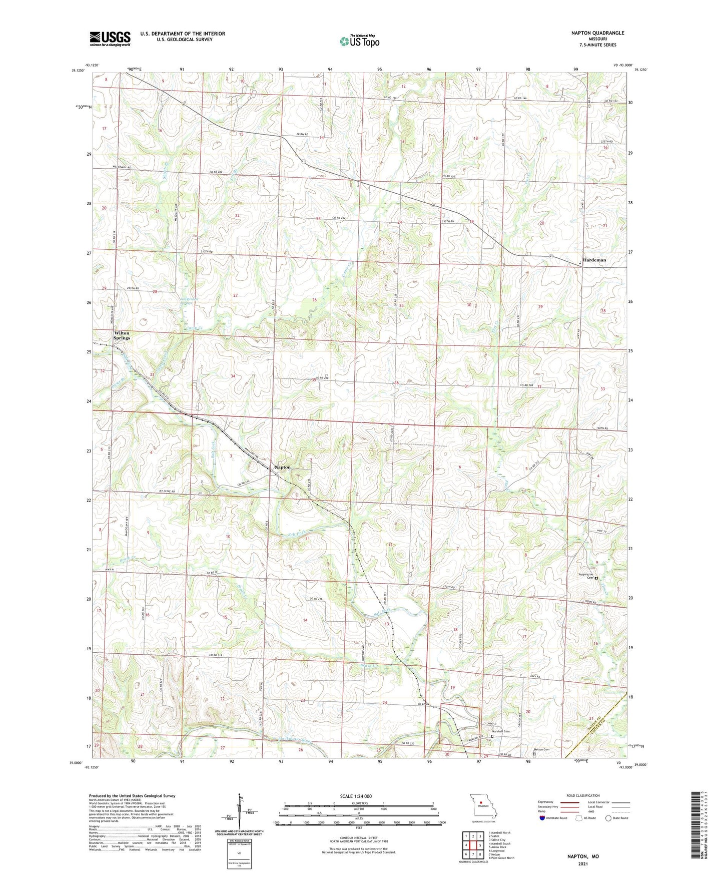
2021 topographic map quadrangle Napton in the state of Missouri. Scale: 1:24000. Based on the newly updated USGS 7.5' US Topo map series, this map is in the following counties: Saline, Cooper. The map contains contour data, water features, and other items you are used to seeing on USGS maps, but also has updated roads and other features. This is the next generation of topographic maps. Printed on high-quality waterproof paper with UV fade-resistant inks.
Quads adjacent to this one:
West: Marshall South
Northwest: Marshall North
North: Slater
Northeast: Saline City
East: Arrow Rock
Southeast: Pilot Grove North
South: Nelson
Southwest: Longwood
Contains the following named places: Brownlee School, Brush Creek, Camp Creek, Dicks Branch, Hardeman, Hardeman Elementary School, Independence School, Lake Springs School, Marshall Cemetery, Memorial Church, Napton, Napton School, Neff School, Nelson Cemetery, Salt Branch, Salt Branch School, Salt Branch Springs, Salt Fork, Sappington Cemetery, Shiloh Branch, Shiloh Church, Smith Chapel, Township of Arrow Rock, Wilton Springs