MyTopo
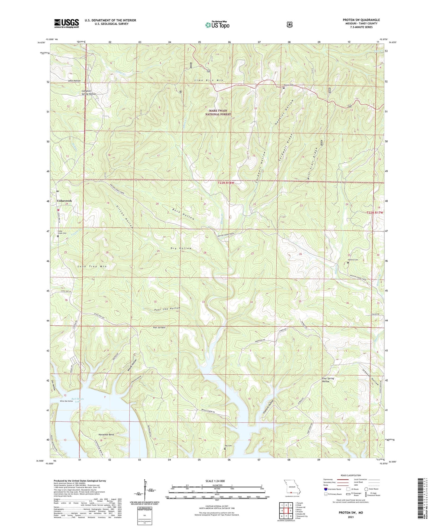
Protem SW Missouri US Topo Map
Couldn't load pickup availability
Also explore the Protem SW Forest Service Topo of this same quad for updated USFS data
2021 topographic map quadrangle Protem SW in the state of Missouri. Scale: 1:24000. Based on the newly updated USGS 7.5' US Topo map series, this map is in the following counties: Taney. The map contains contour data, water features, and other items you are used to seeing on USGS maps, but also has updated roads and other features. This is the next generation of topographic maps. Printed on high-quality waterproof paper with UV fade-resistant inks.
Quads adjacent to this one:
West: Mincy
Northwest: Forsyth
North: Hilda
Northeast: Protem NE
East: Protem
Southeast: Peel
South: Diamond City
Southwest: Omaha NE
This map covers the same area as the classic USGS quad with code o36092e8.
Contains the following named places: Bright Elbow Ranch Landing Field, Buck Hollow, Cardwell Hollow, Cardwell Ridge, Cedar Creek Cemetery, Cedar Creek Volunteer Fire Department Station 1, Cedarcreek, Cedarcreek Post Office, Clemens Hollow, Dabbs Creek, Dry Hollow, Elbow Creek, Elm Hollow, Girten Hollow, Groom, Hankins Cemetery, Hankins Hollow, Hoosier Branch, Horsehoe Bend, Lime Kiln Mountain, Lone Tree Mountain, Mill Trail Ridge, Poor Joe Bald, Poor Joe Hollow, Ray Cemetery, Rhodes School, Sunny Side School, Thornton Hollow, White Oak Hollow, Woods Hollow, Wyman Church, ZIP Code: 65744