MyTopo
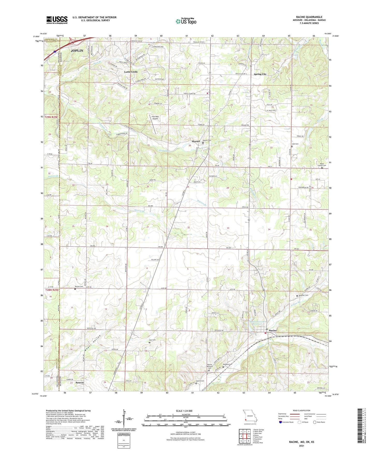
Racine Missouri US Topo Map
Couldn't load pickup availability
2021 topographic map quadrangle Racine in the states of Missouri, Oklahoma. Scale: 1:24000. Based on the newly updated USGS 7.5' US Topo map series, this map is in the following counties: Newton, Ottawa, Cherokee. The map contains contour data, water features, and other items you are used to seeing on USGS maps, but also has updated roads and other features. This is the next generation of topographic maps. Printed on high-quality waterproof paper with UV fade-resistant inks.
Quads adjacent to this one:
West: Peoria
Northwest: Baxter Springs
North: Joplin West
Northeast: Joplin East
East: Tipton Ford
Southeast: Neosho West
South: Seneca
Southwest: Wyandotte
Contains the following named places: Austin Harrison Dam, Austin Harrison Reservoir, Bethel Church, Burkhart Cemetery, Burkhart Church, Burson Cemetery, Buzzard Cemetery, Cal Acres Airport, Cole Cemetery, East View School, Five Mile Airport, Five Mile School, Frog Pond School, Hornet, Hornet Cemetery, Huber Center School, Kirk Cemetery, Lake Mintahama Dam, Log, Loma Linda, Moser Family Cemetery, New Hope Church, Newton County Structure E-1 Dam, Racine, Racine Post Office, Racine School, Redings Mill Fire Protection District Station 3, Redings Mill Fire Protection District Station 6, Rock Branch, Round Prairie School, Seneca Area Fire Protection District Station 1 Racine Headquarters, Seneca Quapaw Agency, Sparlin Cemetery, Spring City, Structure E-1 Reservoir, Town of Loma Linda, Township of Dayton, Township of Five Mile, Warren Branch School, Willow Branch, Willow Springs School, ZIP Code: 64858