MyTopo
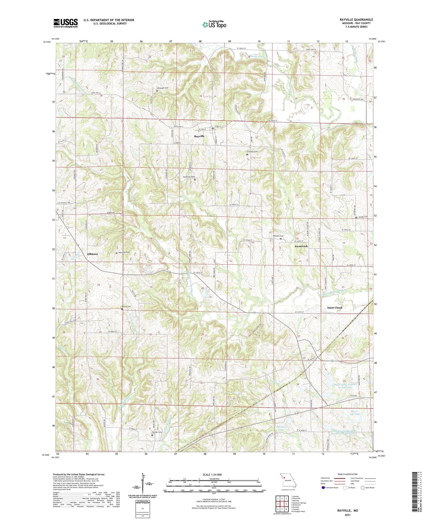
Rayville Missouri US Topo Map
Couldn't load pickup availability
2021 topographic map quadrangle Rayville in the state of Missouri. Scale: 1:24000. Based on the newly updated USGS 7.5' US Topo map series, this map is in the following counties: Ray. The map contains contour data, water features, and other items you are used to seeing on USGS maps, but also has updated roads and other features. This is the next generation of topographic maps. Printed on high-quality waterproof paper with UV fade-resistant inks.
Quads adjacent to this one:
West: Excelsior Springs
Northwest: Lawson
North: Knoxville
Northeast: Millville
East: Richmond
Southeast: Lexington West
South: Camden
Southwest: Buckner
This map covers the same area as the classic USGS quad with code o39094c1.
Contains the following named places: Crowley Cemetery, Dale School, Elkhorn, Elkhorn Elementary School, Fitch School, Gordan Cemetery, Hamilton Cemetery, Jacobs Cemetery, McGaugh Cemetery, McGill School, Ogg School, Oggs Mill, Pettus Cemetery, Ray A-246 Lake, Ray County Number A-24b Lake, Rayville, Rayville Census Designated Place, Rayville Post Office, Rock Falls Church, Rocky Fork, Saint Cloud, Sanderson Cemetery, Sanderson School, Swanwick, Swofford Lake, Todds Chapel, Turnage School, Vanderpool School, Vandiver and Barchers Number A-2 Reservoir, Village of Rayville, Williams Cemetery, Willow Creek Watershed Dam A-22, Willow Creek Watershed Dam A-23, Willow Creek Watershed Dam A-24a, Willow Creek Watershed Dam A-24b, Willow Creek Watershed Dam A-26, Willow Creek Watershed Dam A-28, Willow Creek Watershed Dam A-30, Willow Creek Watershed Dam B-22


