MyTopo
Redford Missouri US Topo Map
Couldn't load pickup availability
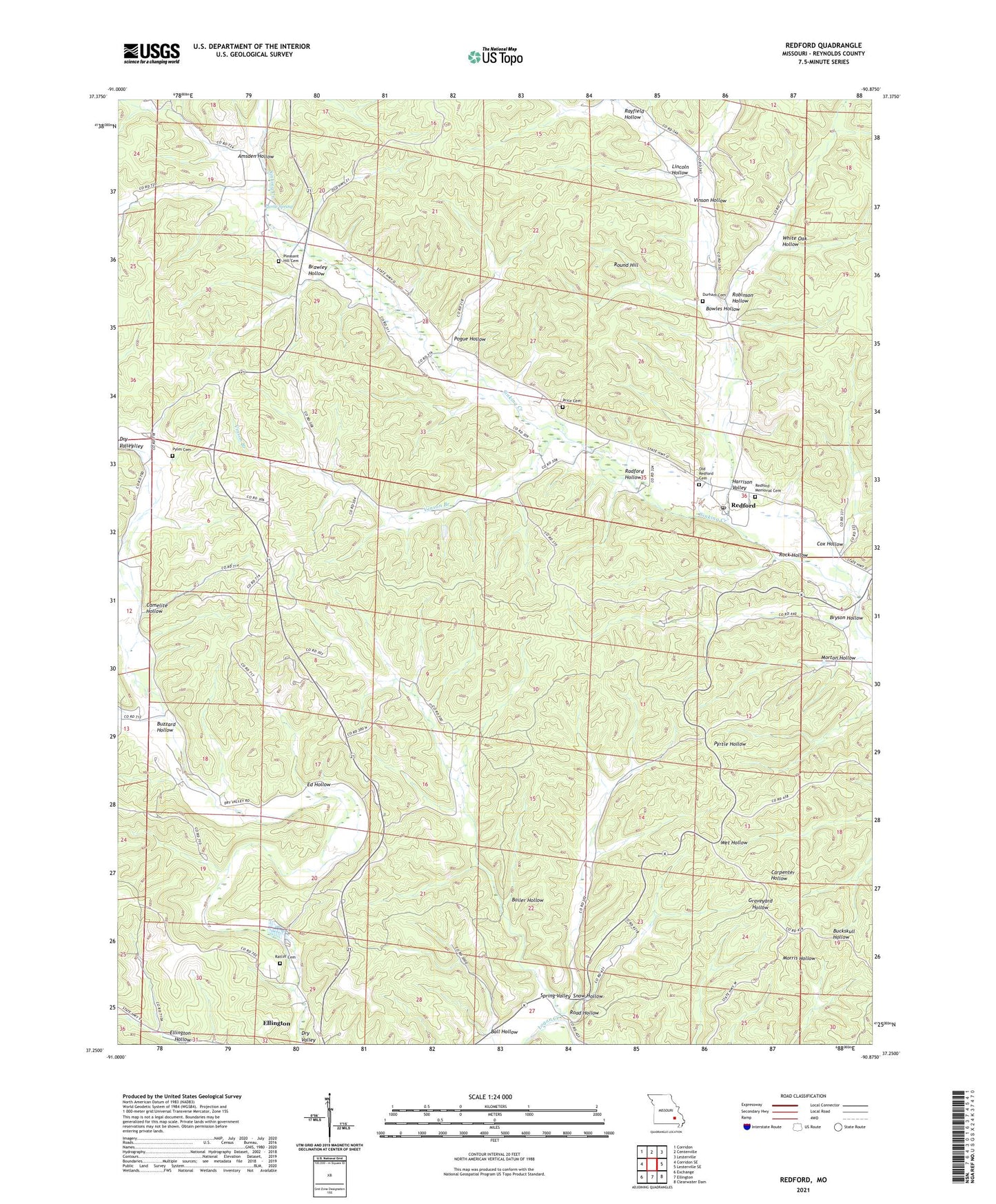
2021 topographic map quadrangle Redford in the state of Missouri. Scale: 1:24000. Based on the newly updated USGS 7.5' US Topo map series, this map is in the following counties: Reynolds. The map contains contour data, water features, and other items you are used to seeing on USGS maps, but also has updated roads and other features. This is the next generation of topographic maps. Printed on high-quality waterproof paper with UV fade-resistant inks.
Quads adjacent to this one:
West: Corridon SE
Northwest: Corridon
North: Centerville
Northeast: Lesterville
East: Lesterville SE
Southeast: Clearwater Dam
South: Ellington
Southwest: Exchange
This map covers the same area as the classic USGS quad with code o37090c8.
Contains the following named places: Alamode, Alamode Post Office, Amsden Hollow, Ball Hollow, Boiler Hollow, Bowles Hollow, Bowles Pond, Brawley Hollow, Bryson Hollow, Buzzard Hollow, Camelite Church, Camelite Hollow, Cox Hollow, Durham Cemetery, Ed Hollow, Farrie, Harrison Valley, Harrison Valley School, Hill Pond, Lily Pond, Lincoln Hollow, Lyons, Maury Pond, Morton Hollow, Old Redford Cemetery, Pleasant Hill Church, Pogue Hollow, Price Cemetery, Pyles Cemetery, Pyrtle Spring, Radford Hollow, Ratliff Cemetery, Rayfield Hollow, Redford, Reeds, Reynolds County, Road Hollow, Robinson Hollow, Robinson Pond, Rock Hollow, Round Hill, Saint Ann Church, Skyline School, Snow Hollow, Spring Valley, Upper Dry Valley School, Vinson Branch, Vinson Hollow, Vinson Pond, White Oak Hollow