MyTopo
Van Cleve Missouri US Topo Map
Couldn't load pickup availability
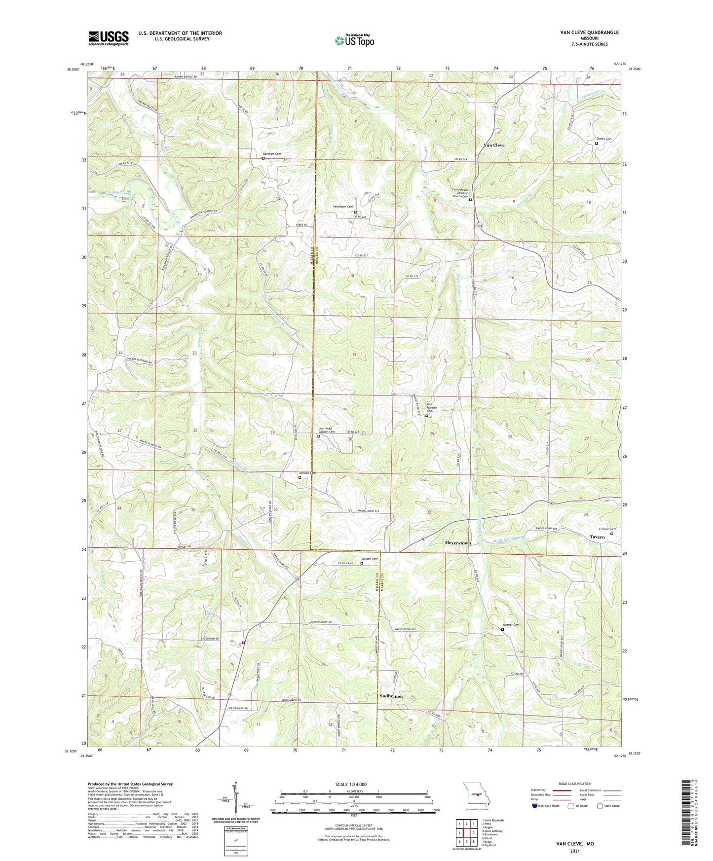
2021 topographic map quadrangle Van Cleve in the state of Missouri. Scale: 1:24000. Based on the newly updated USGS 7.5' US Topo map series, this map is in the following counties: Maries, Miller. The map contains contour data, water features, and other items you are used to seeing on USGS maps, but also has updated roads and other features. This is the next generation of topographic maps. Printed on high-quality waterproof paper with UV fade-resistant inks.
Quads adjacent to this one:
West: Saint Anthony
Northwest: Saint Elizabeth
North: Meta
Northeast: Argyle
East: Brinktown
Southeast: Big Bend
South: Brays
Southwest: Iberia
Contains the following named places: Barnhart Cemetery, Barnharts, Baumhoer School, Berry Creek, Boeckman Bridge State Wildlife Area, Brown School, Cainby, Camp Ground School, Campground Church, Carnes Branch, Crismon Cemetery, Dake Creek, Duncan Branch, Duncan Cemetery, Greasy Creek, Hatton Branch, Iberia Rural Fire Protection District Station 3, Jim - Matt Lawson Cemetery, Lawson Cemetery, Meddleberger Branch, Meyerstown, New Toff School, Old Van Cleve, Pendleton Cemetery, Red School, Ricker Church, Ricker Memorial Church, Shelton Branch, Smyrna Church, Smyrnah Church, Spring Valley Lake, Stokes Cemetery, Sudheimer, Tavern, Van Cleve, Wheeler Church, Wheeler School, White School, Wiemer Creek, ZIP Code: 65058