MyTopo
New Melle Missouri US Topo Map
Couldn't load pickup availability
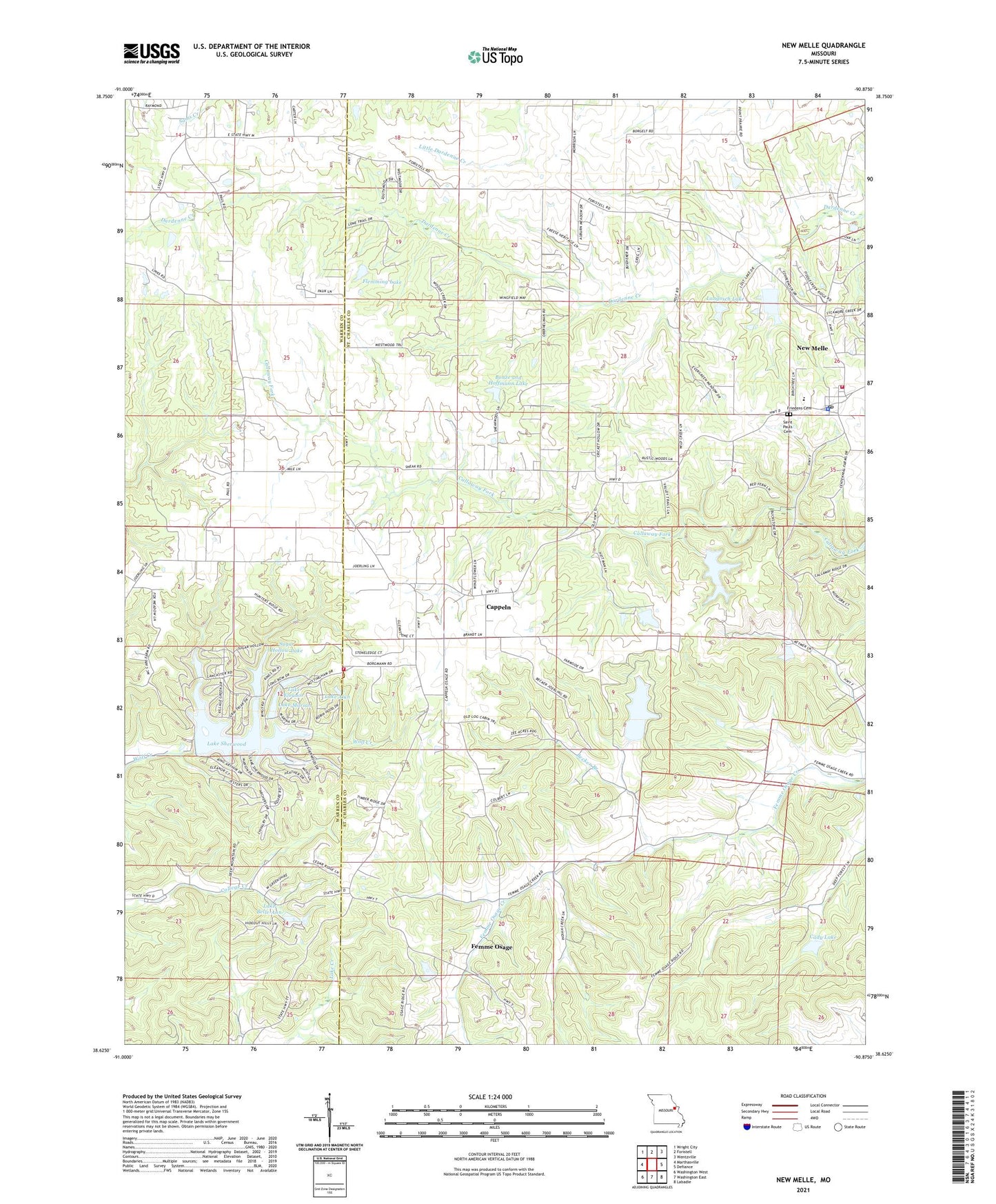
2021 topographic map quadrangle New Melle in the state of Missouri. Scale: 1:24000. Based on the newly updated USGS 7.5' US Topo map series, this map is in the following counties: St. Charles, Warren. The map contains contour data, water features, and other items you are used to seeing on USGS maps, but also has updated roads and other features. This is the next generation of topographic maps. Printed on high-quality waterproof paper with UV fade-resistant inks.
Quads adjacent to this one:
West: Marthasville
Northwest: Wright City
North: Foristell
Northeast: Wentzville
East: Defiance
Southeast: Labadie
South: Washington East
Southwest: Washington West
This map covers the same area as the classic USGS quad with code o38090f8.
Contains the following named places: Arp Choille Company Section 23 Dam, Becker Branch, Bonze and Hoffmann Lake, Borgelt Lake Dam, Cady Lake, Cappeln, Cappeln Lookout, Cappeln School, City of New Melle, Daniel Boone Elementary School, Doeblin School, Emmaus Sanitarium, Felix Struckhoff Lake, Felix Struckoff Dam, Femme Osage, Flemming Lake, Friedens Cemetery, Greenfelder Lake, Kutryb Lake Dam, Lake Alan, Lake Belle-Ann, Lake Belle-Ann Dam, Lake Eleanor, Lake Eleanor Dam, Lake Marian, Lake Robin Hood, Lake Robin Hood Dam, Lake Sherwood, Lake Sherwood Dam, Langosch Lake, Langosch Lake Dam, Lawson Lake Dam, Liberty Grove School, Lost Lake Dam, Maple Dale School, Marian Lake Dam, New Melle, New Melle Fire Protection District Station 1, New Melle Fire Protection District Station 3, New Melle Police Department, New Melle Post Office, Parker Lake, Parkers Dam, Saint Johns Church, Saint Johns School, Saint Pauls Cemetery, Stergen Lake Dam, Sugar Hollow Lake, Sugar Hollow Lake Dam, Timber Lake Dam, Township of Callaway, Vine Hill School, Wide Awake School, Wolk Lake Dam


