MyTopo
Wilcox Missouri US Topo Map
Couldn't load pickup availability
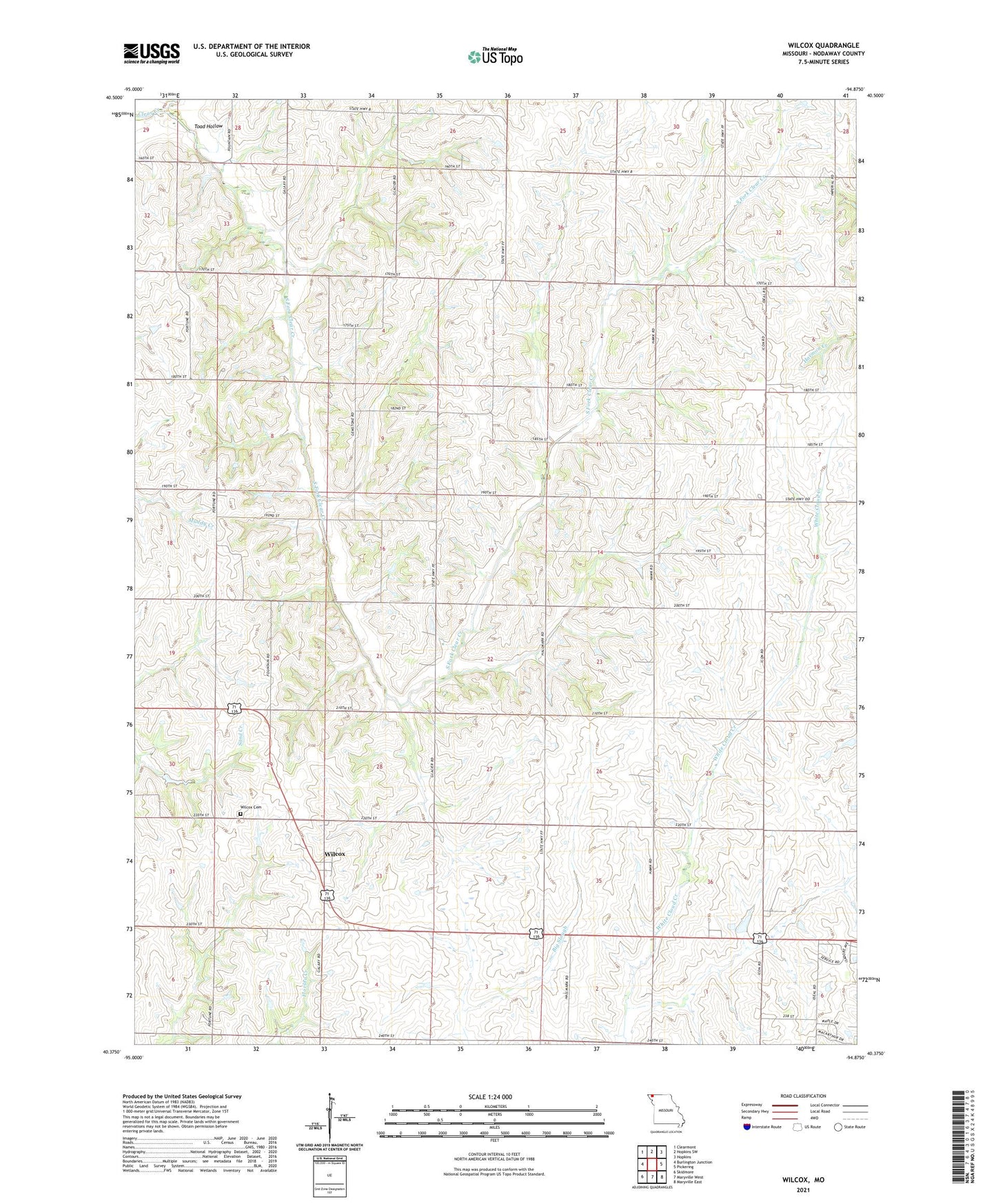
2021 topographic map quadrangle Wilcox in the state of Missouri. Scale: 1:24000. Based on the newly updated USGS 7.5' US Topo map series, this map is in the following counties: Nodaway. The map contains contour data, water features, and other items you are used to seeing on USGS maps, but also has updated roads and other features. This is the next generation of topographic maps. Printed on high-quality waterproof paper with UV fade-resistant inks.
Quads adjacent to this one:
West: Burlington Junction
Northwest: Clearmont
North: Hopkins SW
Northeast: Hopkins
East: Pickering
Southeast: Maryville East
South: Maryville West
Southwest: Skidmore
Contains the following named places: Clyde School, Gray Grove School, Guthrie School, Herron School, Ireland School, Lone Tree School, Lone Valley School, Mount Vernon School, Olwell School, Prairie View School, Shell Grove School, South Fork Clear Creek, Sunrise School, Toad Hollow, White Cloud School, Wilcox, Wilcox Cemetery, Wilcox Census Designated Place, Workman Union Chapel