MyTopo
Hopkins SW Missouri US Topo Map
Couldn't load pickup availability
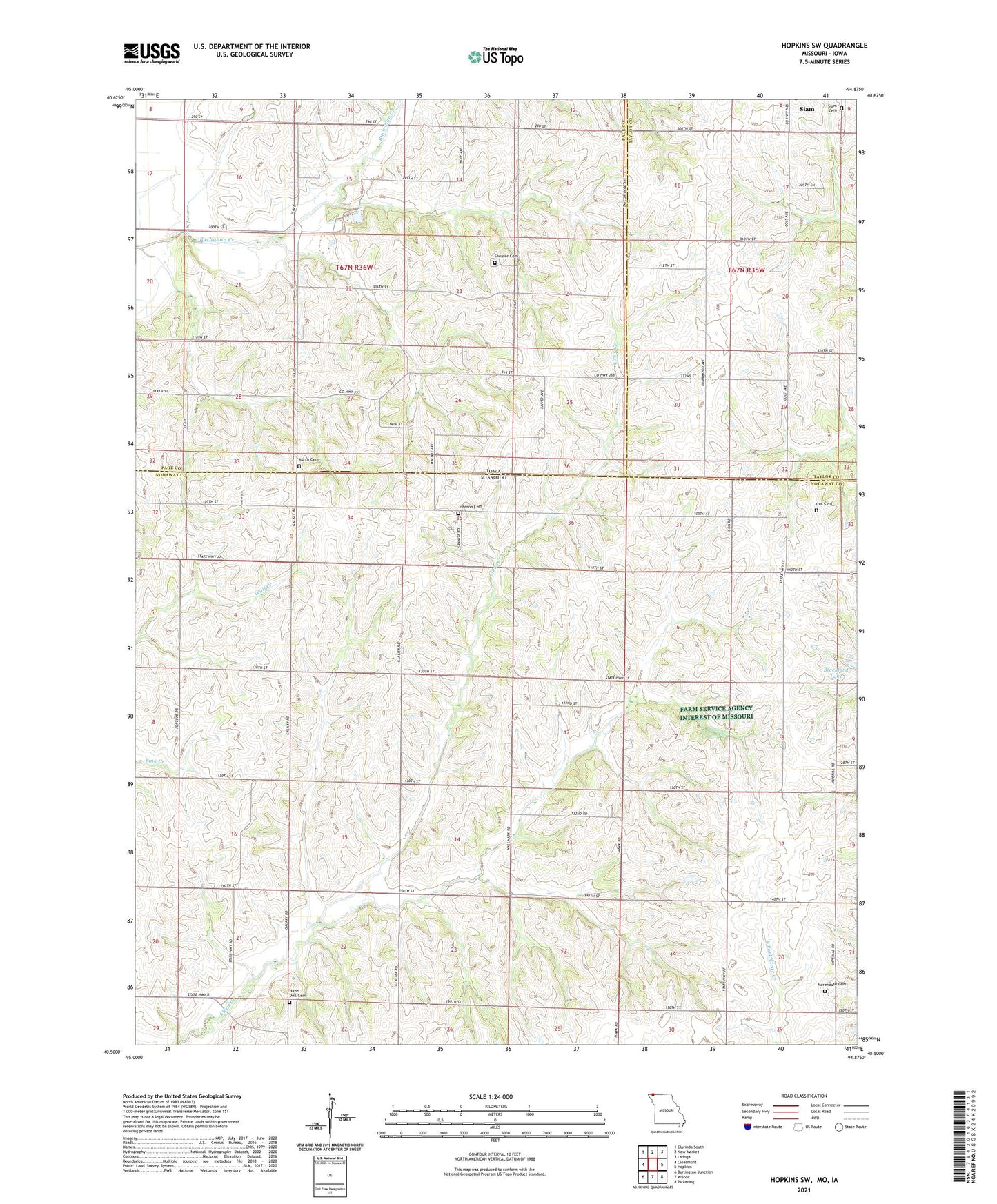
2021 topographic map quadrangle Hopkins SW in the states of Missouri, Iowa. Scale: 1:24000. Based on the newly updated USGS 7.5' US Topo map series, this map is in the following counties: Nodaway, Page, Taylor. The map contains contour data, water features, and other items you are used to seeing on USGS maps, but also has updated roads and other features. This is the next generation of topographic maps. Printed on high-quality waterproof paper with UV fade-resistant inks.
Quads adjacent to this one:
West: Clearmont
Northwest: Clarinda South
North: New Market
Northeast: Ladoga
East: Hopkins
Southeast: Pickering
South: Wilcox
Southwest: Burlington Junction
This map covers the same area as the classic USGS quad with code o40094e8.
Contains the following named places: Blackford Lake, Burch Cemetery, Centre, Cox Cemetery, Davison Cemetery, Good Hope Church, Harder's Corner Post Office, Hazel Dell Cemetery, Hazel Dell School, Hickory Grove School, Highland School, Independence School, Johnson Cemetery, Lone Elm School, Morehouse Cemetery, Morsman, Morsman Post Office, Plum Grove School, Prairie Star School, Ross Park and Recreation Area, Shearer Cemetery, Siam Cemetery, Siam Tract Park, Township of Atchison, Township of Buchanan, ZIP Code: 64431