MyTopo
Angela NE Montana US Topo Map
Couldn't load pickup availability
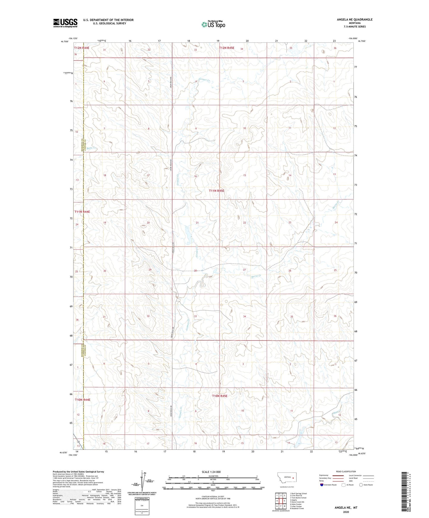
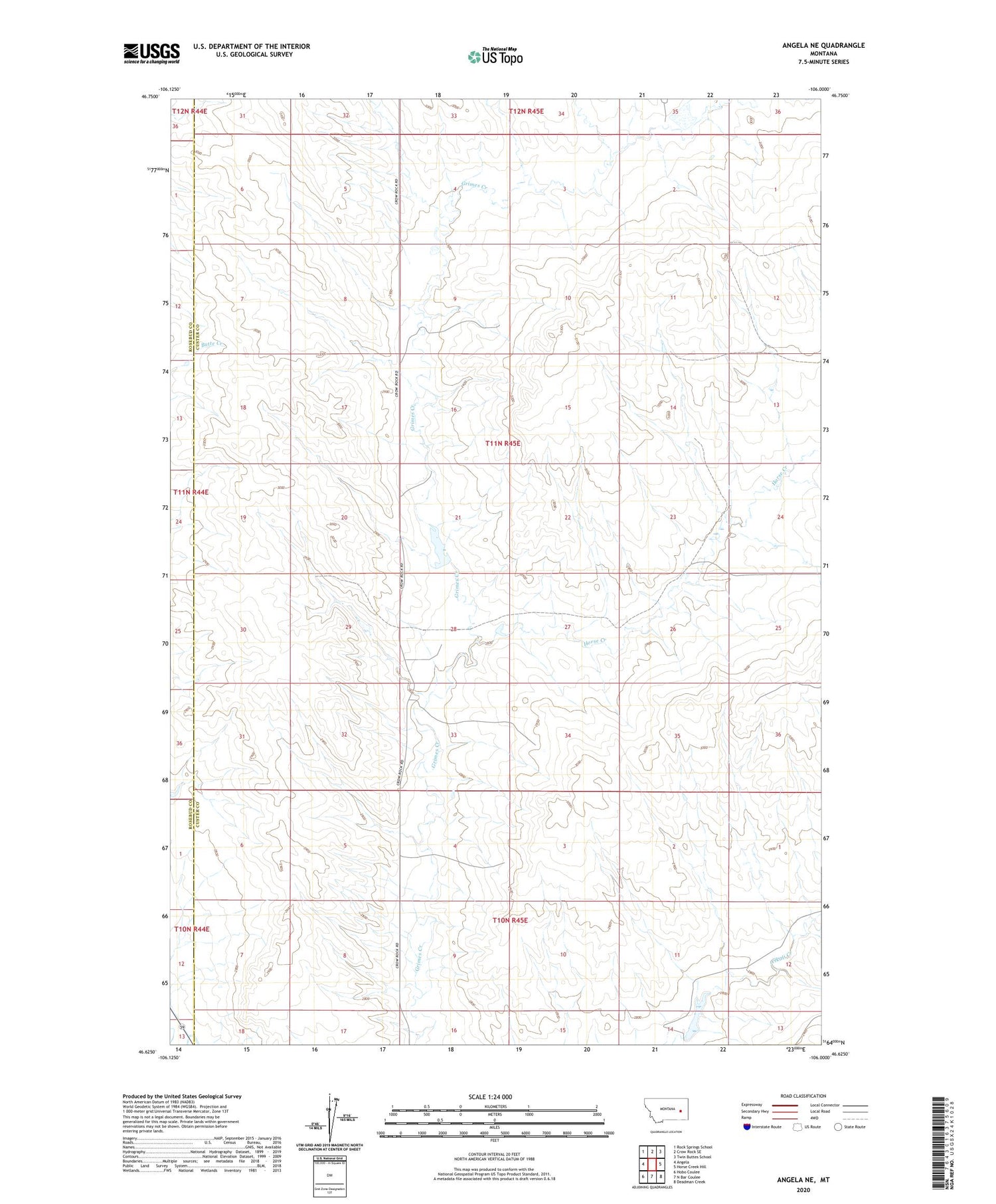
2020 topographic map quadrangle Angela NE in the state of Montana. Scale: 1:24000. Based on the newly updated USGS 7.5' US Topo map series, this map is in the following counties: Custer, Rosebud. The map contains contour data, water features, and other items you are used to seeing on USGS maps, but also has updated roads and other features. This is the next generation of topographic maps. Printed on high-quality waterproof paper with UV fade-resistant inks.
Quads adjacent to this one:
West: Angela
Northwest: Rock Springs School
North: Crow Rock SE
Northeast: Twin Buttes School
East: Horse Creek Hill
Southeast: Deadman Creek
South: N Bar Coulee
Southwest: Hobo Coulee
Contains the following named places: 10N45E09BACC01 Well, 11N45E02AACD01 Well, 11N45E04CCCB01 Well, 11N45E07ADDD01 Well, 11N45E14DBDC01 Well, 11N45E20DABD01 Well, 11N45E28BCDD01 Well, 11N45E29DABC01 Well, 11N45E34CACA01 Well, Grimes Dam, Horse Creek, Horse Creek School, Lazy S Number 2 Dam, Liberty School, Mather Brothers Ranch, Mather Number 2 Dam, Mathers Dam