MyTopo
Rock Springs School Montana US Topo Map
Couldn't load pickup availability
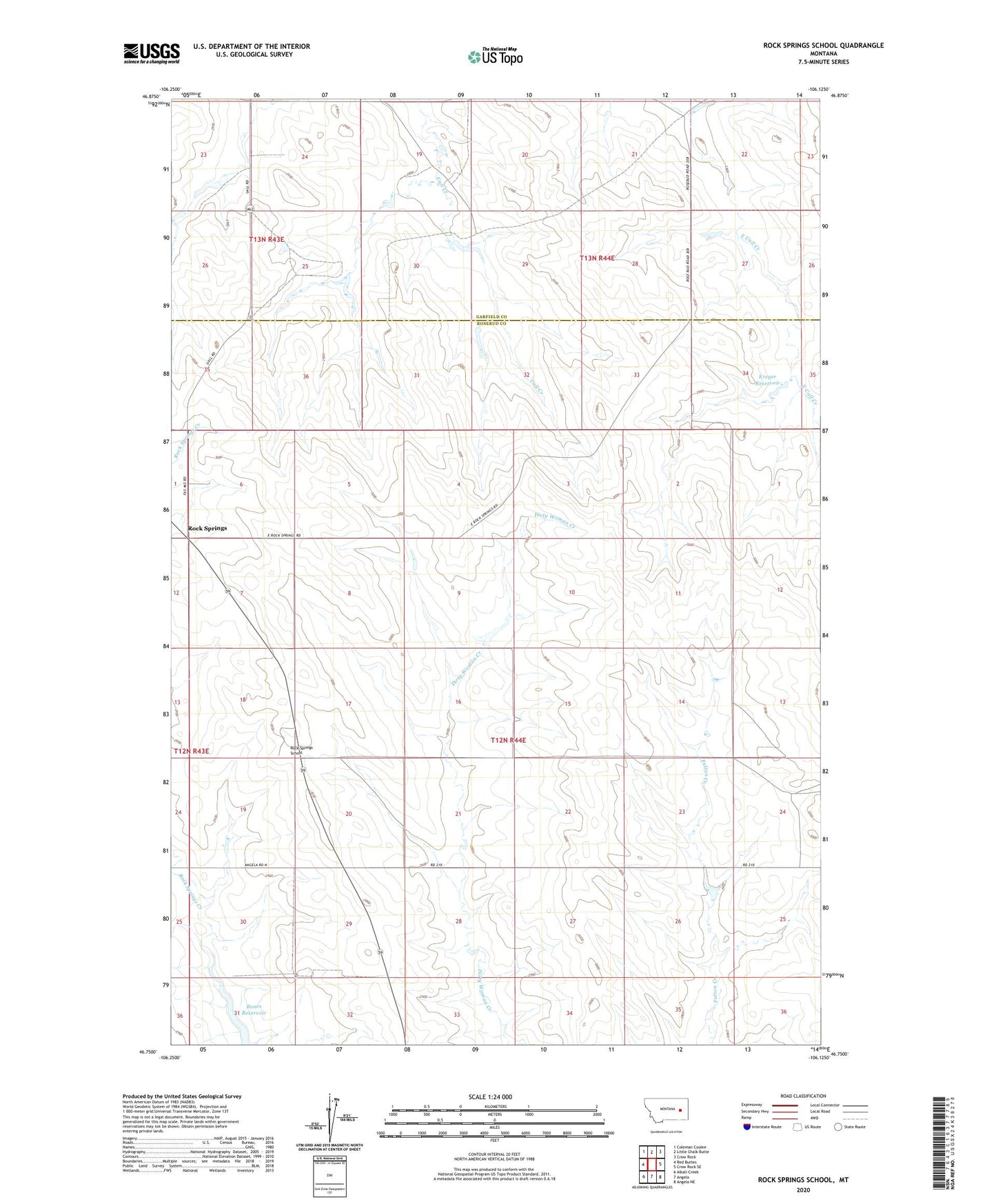
2024 topographic map quadrangle Rock Springs School in the state of Montana. Scale: 1:24000. Based on the newly updated USGS 7.5' US Topo map series, this map is in the following counties: Rosebud, Garfield. The map contains contour data, water features, and other items you are used to seeing on USGS maps, but also has updated roads and other features. This is the next generation of topographic maps. Printed on high-quality waterproof paper with UV fade-resistant inks.
Quads adjacent to this one:
West: Red Buttes
Northwest: Coleman Coulee
North: Little Chalk Butte
Northeast: Crow Rock
East: Crow Rock SE
Southeast: Angela NE
South: Angela
Southwest: Alkali Creek
This map covers the same area as the classic USGS quad with code o46106g2.
Contains the following named places: 12N44E01CCAB01 Well, 12N44E02DDDD01 Well, 12N44E04ABAB01 Well, 12N44E08BCDC01 Well, 12N44E09DCDB01 Well, 12N44E20ACAD01 Well, 12N44E24ACBB01 Well, 12N44E26DDDB01 Well, 13N44E27CCDB01 Well, 13N44E28AACD01 Well, 13N44E28DDDA01 Well, 13N44E28DDDA02 Well, 13N44E30ADAA01 Well, 13N44E33BCBB01 Well, Alay Number 1 Dam, Alay Number 2 Dam, Boies Reservoir, Dayhoff School, Floodly Dam, Haglof Reservoir Dam, Haglofs Dam, Kreger Reservoir, Rock Springs, Rock Springs Dam, Rock Springs Post Office, Rock Springs School, Southerland School