MyTopo
Twin Buttes School Montana US Topo Map
Couldn't load pickup availability
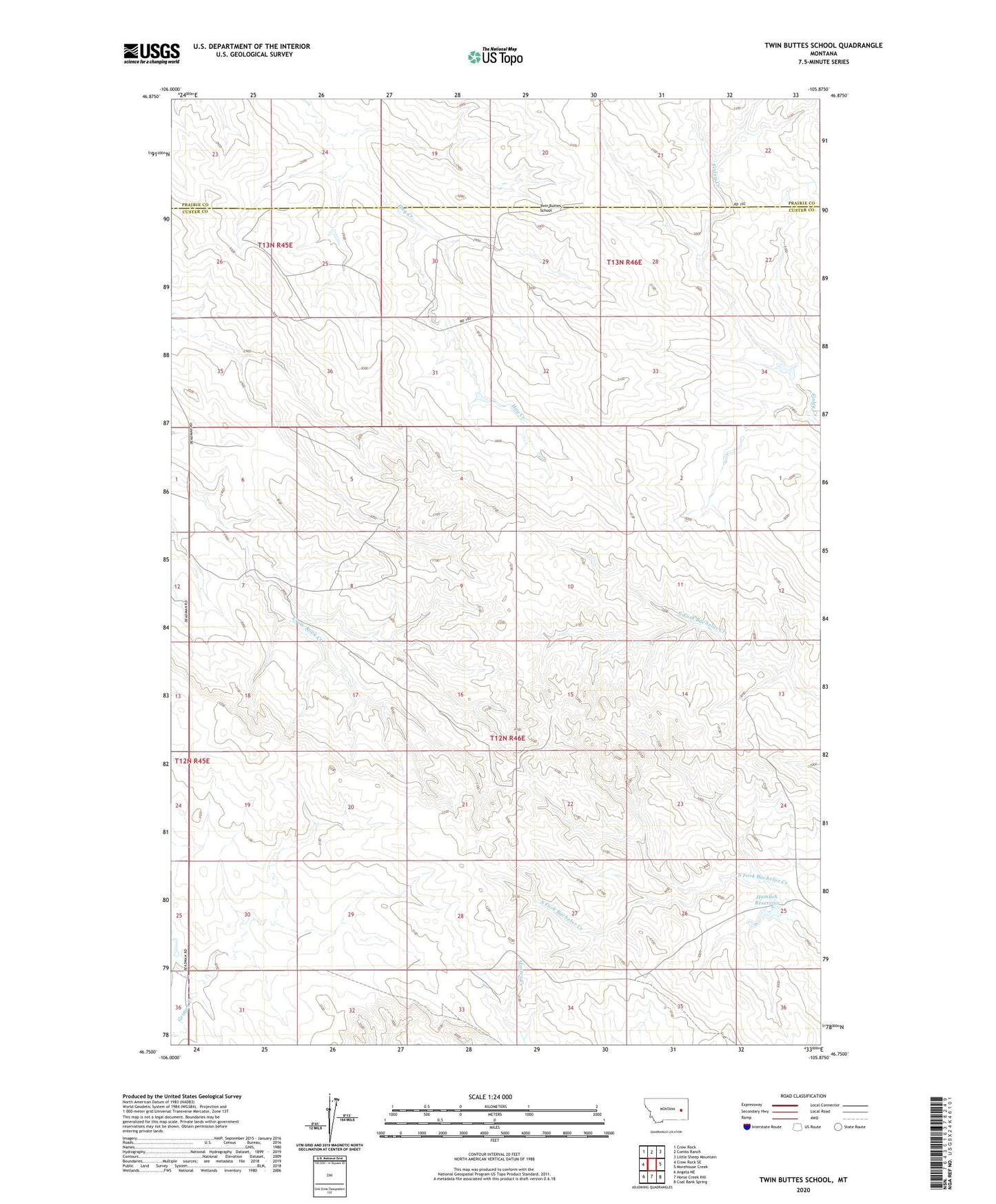
2024 topographic map quadrangle Twin Buttes School in the state of Montana. Scale: 1:24000. Based on the newly updated USGS 7.5' US Topo map series, this map is in the following counties: Custer, Prairie. The map contains contour data, water features, and other items you are used to seeing on USGS maps, but also has updated roads and other features. This is the next generation of topographic maps. Printed on high-quality waterproof paper with UV fade-resistant inks.
Quads adjacent to this one:
West: Crow Rock SE
Northwest: Crow Rock
North: Combs Ranch
Northeast: Little Sheep Mountain
East: Morehouse Creek
Southeast: Coal Bank Spring
South: Horse Creek Hill
Southwest: Angela NE
This map covers the same area as the classic USGS quad with code o46105g8.
Contains the following named places: 03N47E07BCAB01 Well, 12N46E06AABC01 Well, 12N46E07ACAD01 Well, 12N46E07ACDA01 Well, 12N46E08DABC01 Well, 12N46E25DCAC01 Well, 12N46E30CCCC01 Well, 12N46E31BBBB01 Well, 13N45E24BACB01 Well, 13N45E26CDAC01 Well, 13N46E30ACAB01 Well, 13N46E31DACB01 Well, 13N46E31DBBB01 Well, Hamlick Reservoir, Hamlick Reservoir Dam, Hartwick School, Kountz Dam, Mann School, Meredith School, Twin Buttes School