MyTopo
Crow Rock SE Montana US Topo Map
Couldn't load pickup availability
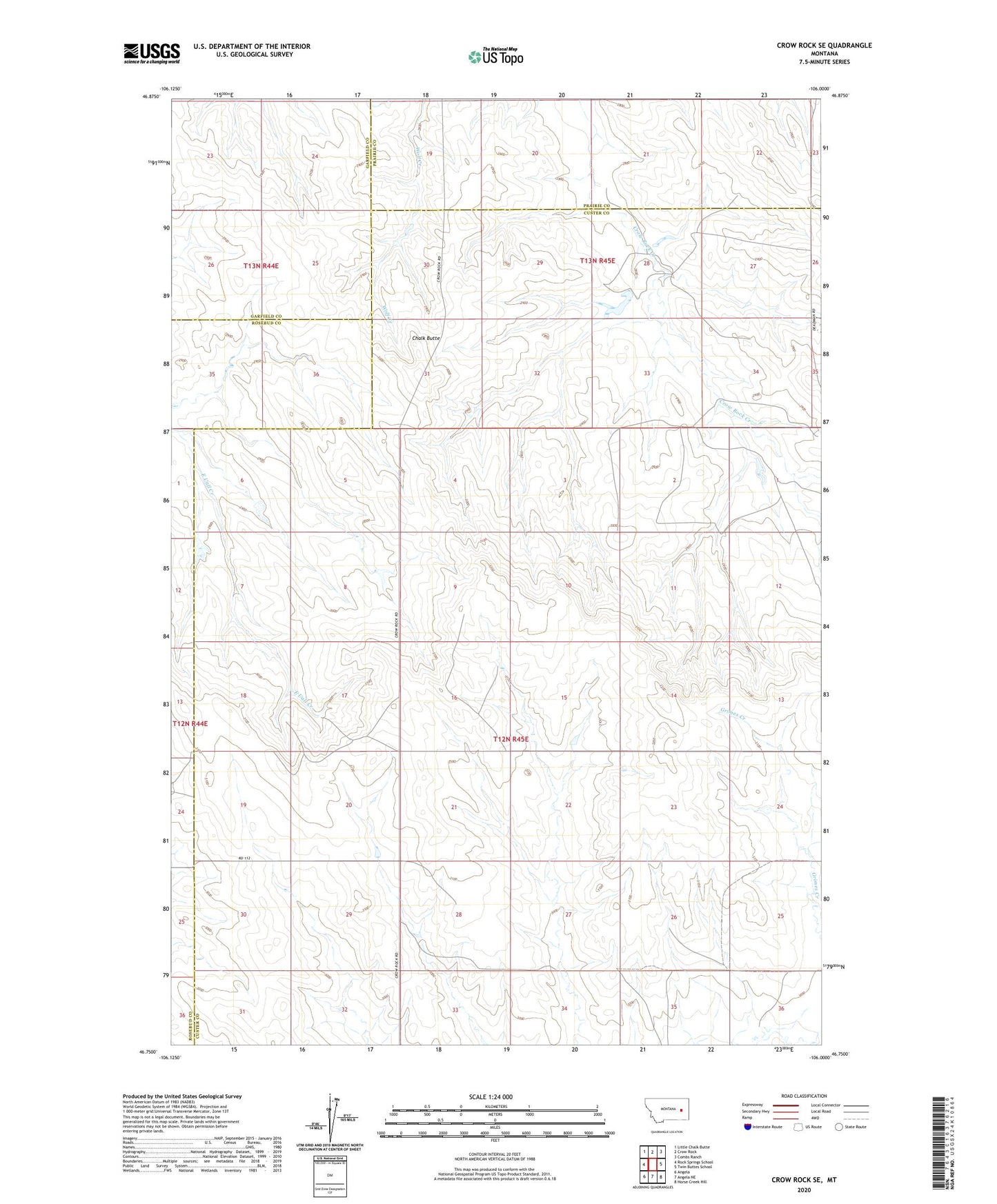
2024 topographic map quadrangle Crow Rock SE in the state of Montana. Scale: 1:24000. Based on the newly updated USGS 7.5' US Topo map series, this map is in the following counties: Custer, Prairie, Garfield, Rosebud. The map contains contour data, water features, and other items you are used to seeing on USGS maps, but also has updated roads and other features. This is the next generation of topographic maps. Printed on high-quality waterproof paper with UV fade-resistant inks.
Quads adjacent to this one:
West: Rock Springs School
Northwest: Little Chalk Butte
North: Crow Rock
Northeast: Combs Ranch
East: Twin Buttes School
Southeast: Horse Creek Hill
South: Angela NE
Southwest: Angela
This map covers the same area as the classic USGS quad with code o46106g1.
Contains the following named places: 12N45E01BBDD01 Well, 12N45E03BABB01 Well, 12N45E08DACD01 Well, 12N45E09BCCB01 Well, 12N45E11AAAA01 Well, 12N45E18DADD01 Well, 12N45E20AAAA01 Well, 12N45E22AABB01 Well, 12N45E26CAAD01 Well, 12N45E28CBDD01 Well, 12N45E31BBBB01 Well, 12N45E32ACBC01 Well, 13N45E27DDDD01 Well, 13N45E28AADC01 Well, B-6 Number 4 Dam, Chalk Butte, Doran Dam, Doran Number 1 Dam, Fairview School, Rose School, Sisson School