MyTopo
Billick Coulee Montana US Topo Map
Couldn't load pickup availability
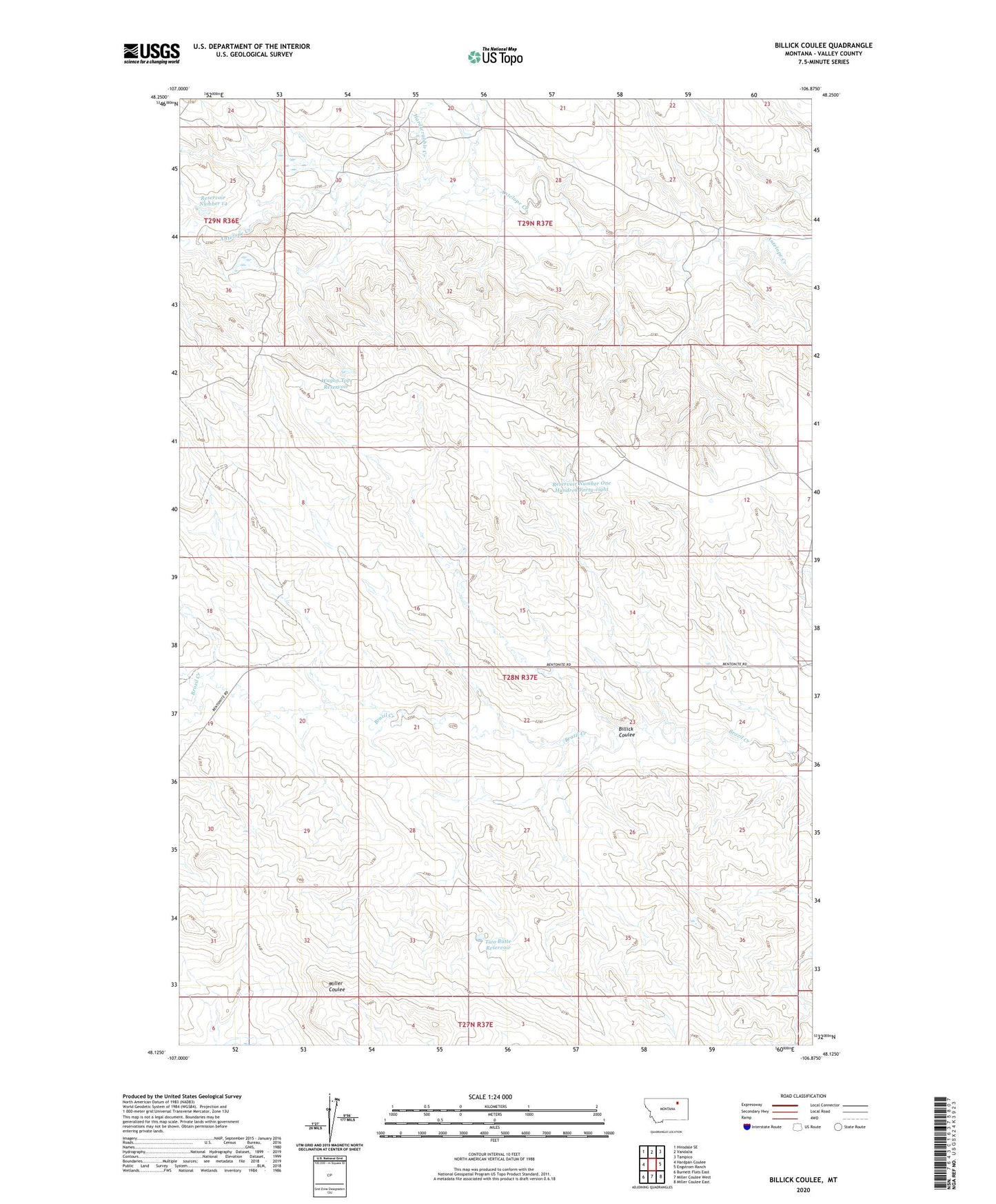
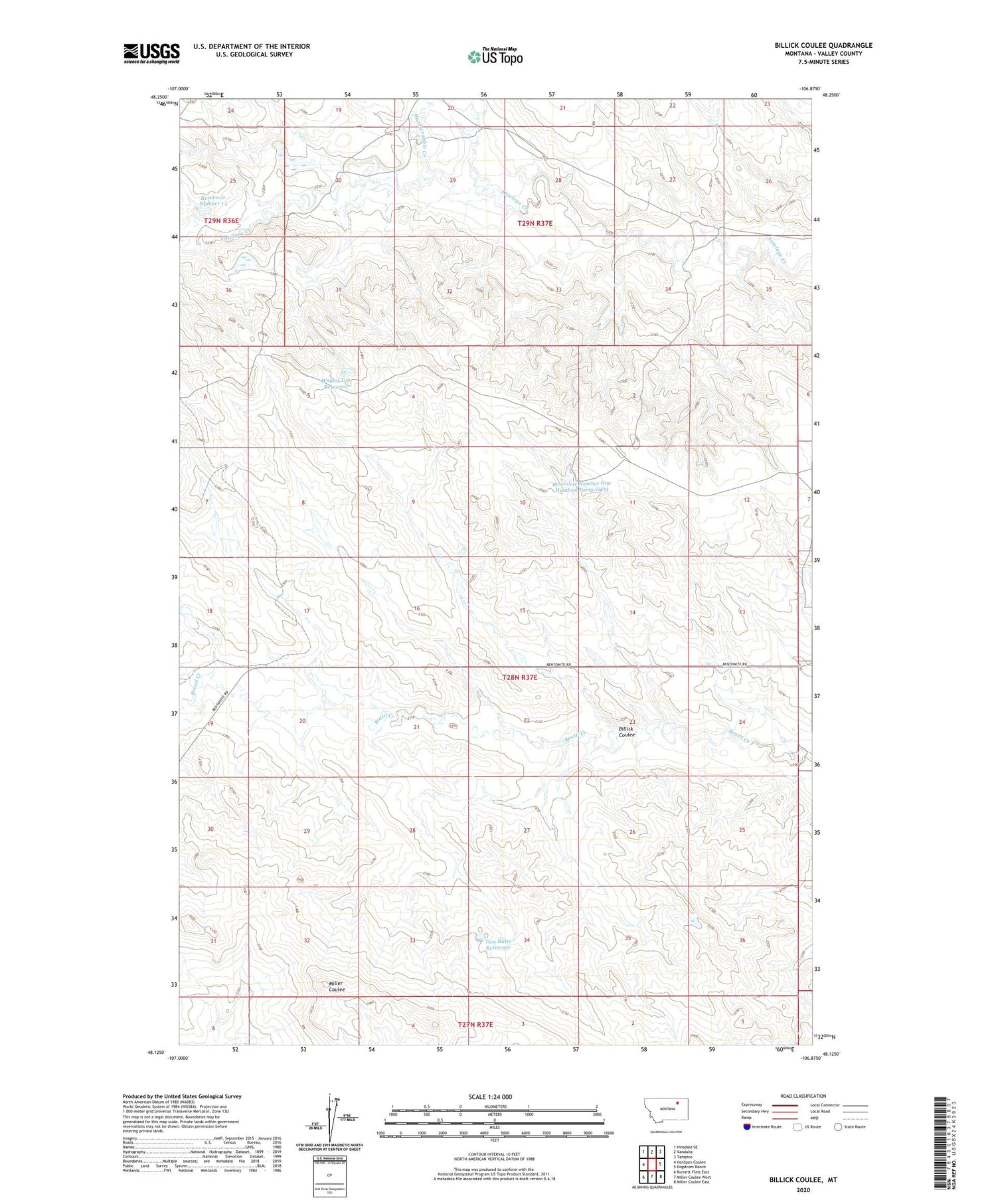
2020 topographic map quadrangle Billick Coulee in the state of Montana. Scale: 1:24000. Based on the newly updated USGS 7.5' US Topo map series, this map is in the following counties: Valley. The map contains contour data, water features, and other items you are used to seeing on USGS maps, but also has updated roads and other features. This is the next generation of topographic maps. Printed on high-quality waterproof paper with UV fade-resistant inks.
Quads adjacent to this one:
West: Hardpan Coulee
Northwest: Hinsdale SE
North: Vandalia
Northeast: Tampico
East: Engstrom Ranch
Southeast: Miller Coulee East
South: Miller Coulee West
Southwest: Burnett Flats East
Contains the following named places: Billick Coulee, Carie Dam, Hardscrabble Creek, Reservoir Number 14, Reservoir Number One Hundred Forty-eight, Two Butte Reservoir, Wagon Top Reservoir