MyTopo
Burnett Flats East Montana US Topo Map
Couldn't load pickup availability
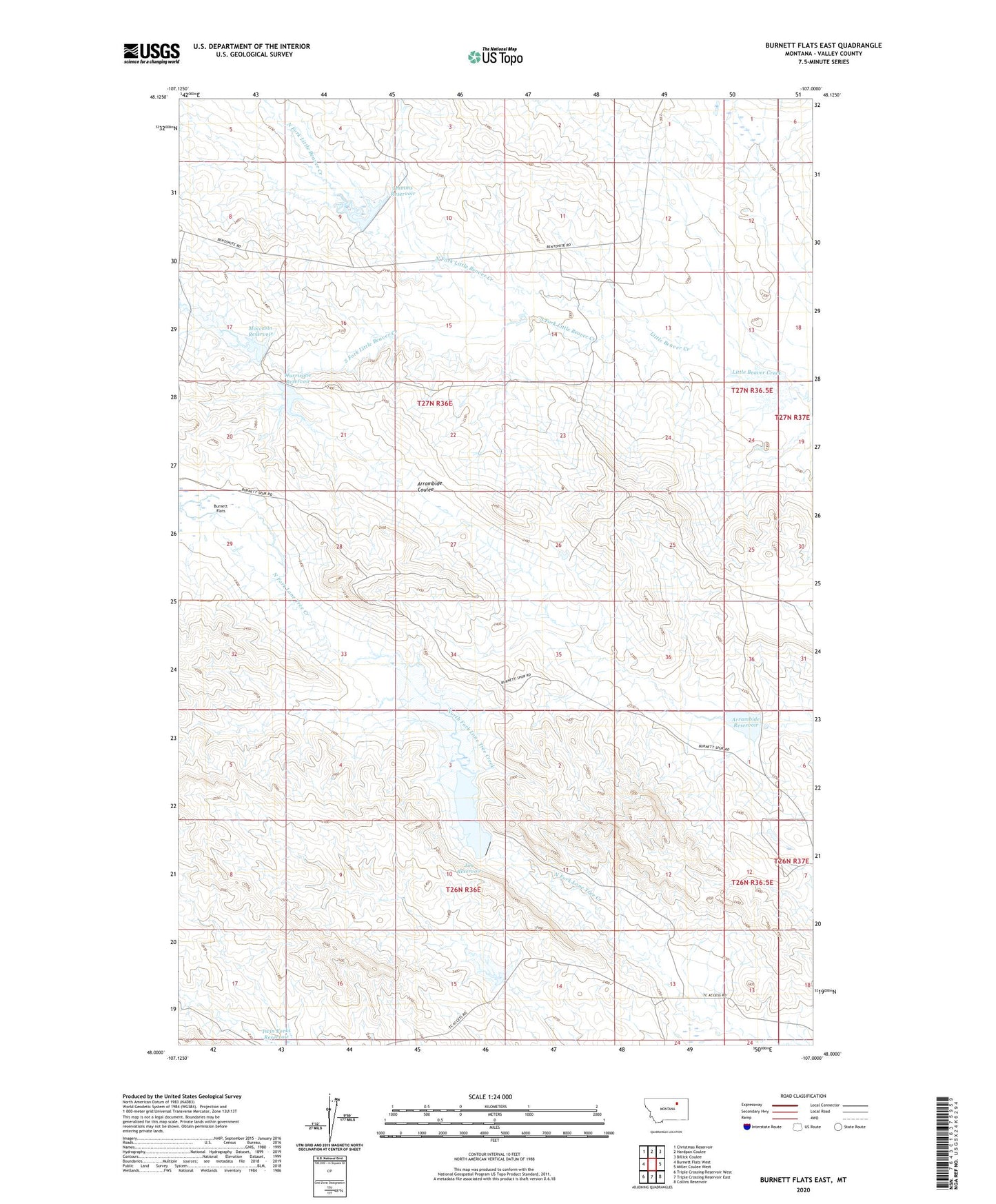
2024 topographic map quadrangle Burnett Flats East in the state of Montana. Scale: 1:24000. Based on the newly updated USGS 7.5' US Topo map series, this map is in the following counties: Valley. The map contains contour data, water features, and other items you are used to seeing on USGS maps, but also has updated roads and other features. This is the next generation of topographic maps. Printed on high-quality waterproof paper with UV fade-resistant inks.
Quads adjacent to this one:
West: Burnett Flats West
Northwest: Christmas Reservoir
North: Hardpan Coulee
Northeast: Billick Coulee
East: Miller Coulee West
Southeast: Collins Reservoir
South: Triple Crossing Reservoir East
Southwest: Triple Crossing Reservoir West
This map covers the same area as the classic USGS quad with code o48107a1.
Contains the following named places: 26N32E03ABDD01 Well, Arrambide Dam, Arrambide Reservoir, Bentonite Number 3 Mine, Bentonite Number 4 Mine, Bentonite Number 5 Mine, Bentonite Number 6 Mine, Dead Horse Dam, Hamms Reservoir, Hamms Reservoir Dam, Hurricane Dam, Hurricane Reservoir, Jim Reservoir, Jim Reservoir Dam, Lower Burnett Headcut Dam, Moccasin Dam, Moccasin Reservoir, North Fork Little Beaver Creek, Rinnie Reservoir, South Fork Little Beaver Creek