MyTopo
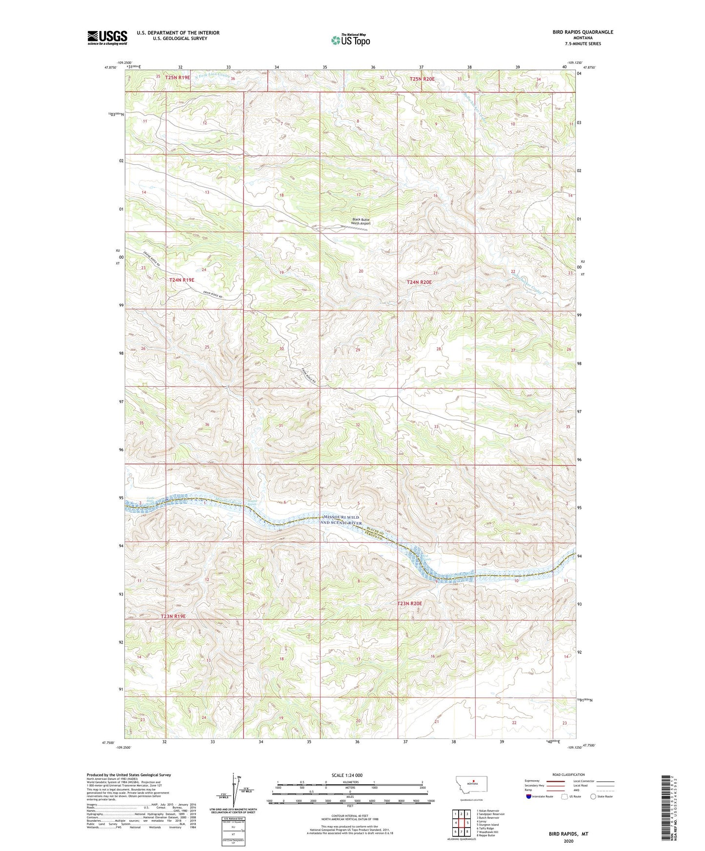
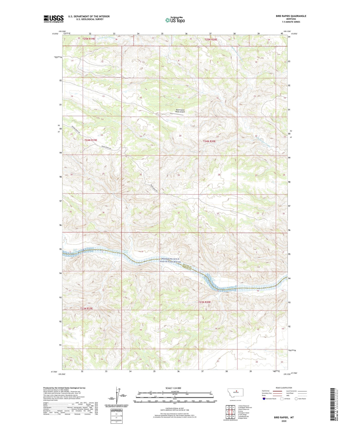
Bird Rapids Montana US Topo Map
Couldn't load pickup availability
2020 topographic map quadrangle Bird Rapids in the state of Montana. Scale: 1:24000. Based on the newly updated USGS 7.5' US Topo map series, this map is in the following counties: Blaine, Fergus. The map contains contour data, water features, and other items you are used to seeing on USGS maps, but also has updated roads and other features. This is the next generation of topographic maps. Printed on high-quality waterproof paper with UV fade-resistant inks.
Quads adjacent to this one:
West: Leroy
Northwest: Nolan Reservoir
North: Sandpiper Reservoir
Northeast: Butch Reservoir
East: Sturgeon Island
Southeast: Reppe Butte
South: Woodhawk Hill
Southwest: Taffy Ridge
Contains the following named places: Bird Rapids, Black Butte, Black Butte North Airport, Castle Bluffs Rapids, Lion Coulee, Lone Tree Ridge, Magpie Rapids, North Fork Lion Coulee, Pendell Ridge, Tarzan Dam