MyTopo
Nolan Reservoir Montana US Topo Map
Couldn't load pickup availability
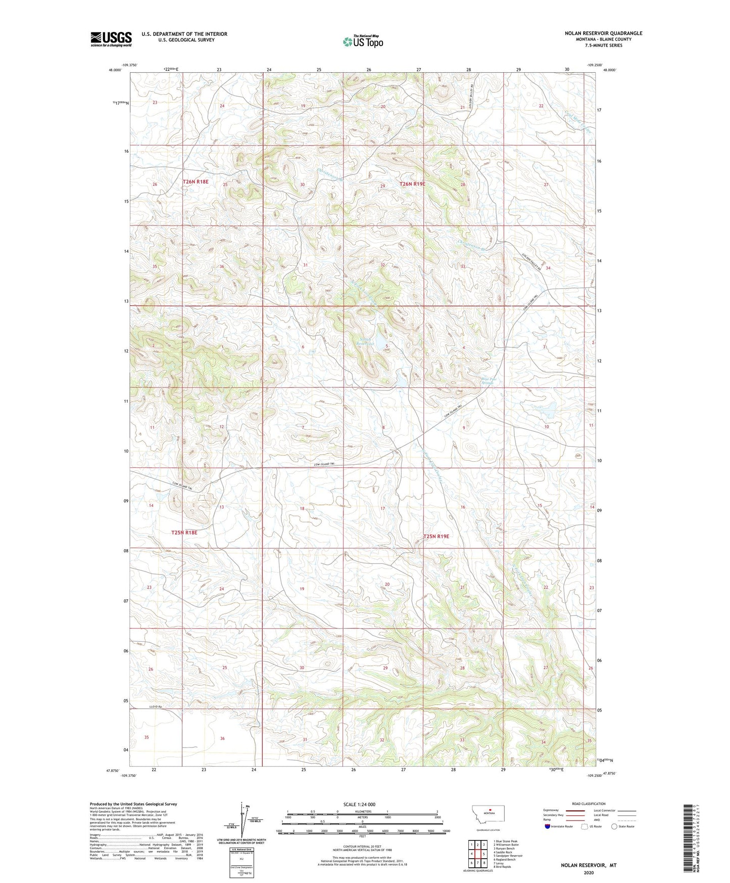
2024 topographic map quadrangle Nolan Reservoir in the state of Montana. Scale: 1:24000. Based on the newly updated USGS 7.5' US Topo map series, this map is in the following counties: Blaine. The map contains contour data, water features, and other items you are used to seeing on USGS maps, but also has updated roads and other features. This is the next generation of topographic maps. Printed on high-quality waterproof paper with UV fade-resistant inks.
Quads adjacent to this one:
West: Saddle Rock
Northwest: Blue Stone Peak
North: Williamson Butte
Northeast: Runyan Bench
East: Sandpiper Reservoir
Southeast: Bird Rapids
South: Leroy
Southwest: Ragland Bench
This map covers the same area as the classic USGS quad with code o47109h3.
Contains the following named places: Bear Paw Springs, Bearpaw Spring School, Lion Butte, Nolan Reservoir, Riedel, Riedel Post Office, ZIP Code: 59535