MyTopo
Birney SW Montana US Topo Map
Couldn't load pickup availability
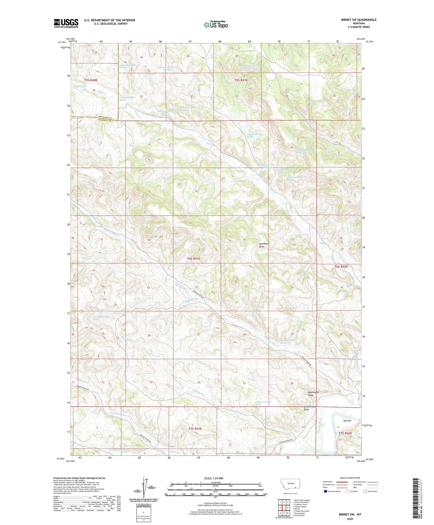
2024 topographic map quadrangle Birney SW in the state of Montana. Scale: 1:24000. Based on the newly updated USGS 7.5' US Topo map series, this map is in the following counties: Rosebud, Big Horn. The map contains contour data, water features, and other items you are used to seeing on USGS maps, but also has updated roads and other features. This is the next generation of topographic maps. Printed on high-quality waterproof paper with UV fade-resistant inks.
Quads adjacent to this one:
West: Taintor Desert
Northwest: Bull Creek Lookout
North: Cook Creek Butte
Northeast: Clubfoot Creek
East: Birney
Southeast: Lacey Gulch
South: Spring Gulch
Southwest: Tongue River Dam
This map covers the same area as the classic USGS quad with code o45106c6.
Contains the following named places: 05S41E28DDDC01 Spring, 05S41E30CCBB01 Spring, 05S41E31AAAA01 Spring, 05S41E31CBAC01 Well, 05S41E31CBBC01 Spring, 05S41E31DDDA01 Spring, 05S41E32CDBC01 Spring, 05S41E35CBCC01 Spring, 06S41E01DBCB01 Spring, 06S41E02ACCB01 Spring, 06S41E03BADD01 Well, 06S41E03BADD02 Well, 06S41E03BBDD01 Well, 06S41E08CCAC01 Well, 06S41E08CCBA01 Well, 06S41E08CCBD01 Well, 06S41E11AAAA01 Spring, 06S41E12BBAC01 Spring, 06S41E12BDBD01 Spring, 06S41E15DCDA01 Well, 06S41E16BBCC01 Well, 06S41E17ADDD01 Well, 06S41E17ADDD02 Well, 06S41E17DAAA01 Well, 06S41E17DAAA02 Well, 06S41E21ADBA01 Well, 06S41E21ADBD01 Well, 06S41E21ADBD02 Well, 06S41E21BBCD01 Well, 06S41E21DDDC01 Well, 06S41E22CABC01 Well, 06S41E22CABD01 Well, 06S41E22CACB01 Well, 06S41E22CDCB01 Well, 06S41E23CCCC01 Well, 06S41E25CBDD01 Spring, 06S41E25CCBB01 Well, 06S41E25CDAC01 Well, 06S41E26BACC01 Well, 06S41E26BBDA01 Well, 06S41E26BBDA02 Well, 06S41E26BBDC01 Well, 06S41E26BBDD01 Well, 06S41E29ADCA01 Well, 06S41E29ADCA02 Well, 06S41E29BACB01 Spring, 06S41E32CADA01 Well, 06S41E33BBBD01 Well, 06S41E33BBBD02 Well, 06S41E34CDAA01 Well, 06S41E34CDAA02 Well, 06S42E19CDBC01 Well, 06S42E31DBBA01 Well, 06S42E31DBBA02 Well, 06S42E31DBBD01 Well, 07S41E02AACC01 Spring, 07S41E04DCDD01 Well, 07S42E06B___01 Well, 07S42E06BCAA01 Well, 07S42E06BCDB01 Well, 4 D School, Bootlegger Draw, Brewster Camp, Coyote Creek, Four D Ditch, Four D Ranch, Jack Creek, Jeffrys Prong, North Fork Canyon Creek, Schoolhouse Draw, South Fork Bull Creek, South Fork Canyon Creek, Spring Creek, Ted Flat