MyTopo
Bison Bone Reservoir Montana US Topo Map
Couldn't load pickup availability
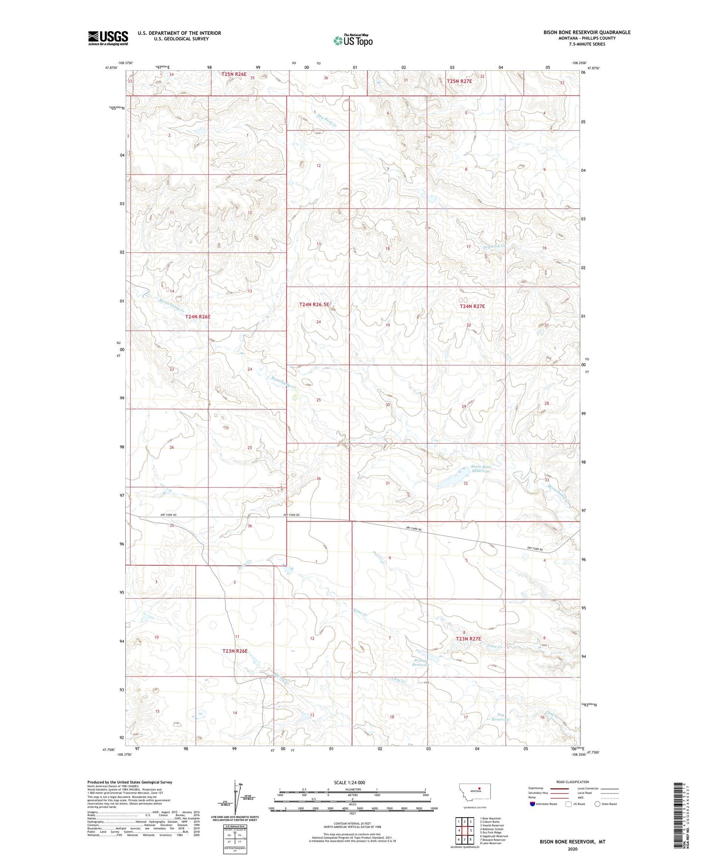
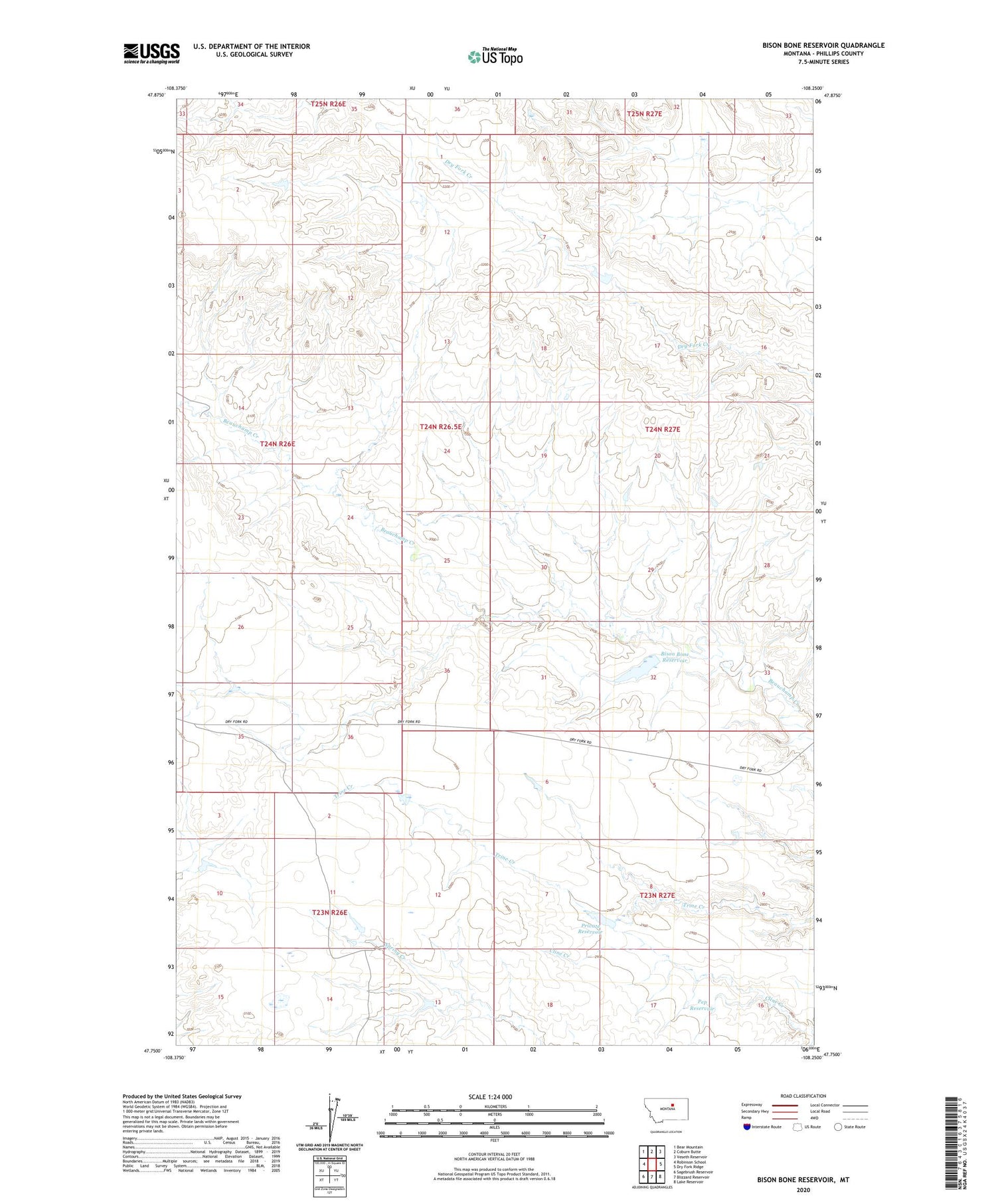
2020 topographic map quadrangle Bison Bone Reservoir in the state of Montana. Scale: 1:24000. Based on the newly updated USGS 7.5' US Topo map series, this map is in the following counties: Phillips. The map contains contour data, water features, and other items you are used to seeing on USGS maps, but also has updated roads and other features. This is the next generation of topographic maps. Printed on high-quality waterproof paper with UV fade-resistant inks.
Quads adjacent to this one:
West: Robinson School
Northwest: Bear Mountain
North: Coburn Butte
Northeast: Veseth Reservoir
East: Dry Fork Ridge
Southeast: Lake Reservoir
South: Blizzard Reservoir
Southwest: Sagebrush Reservoir
Contains the following named places: 13N28E31CDD_01 Well, 25N26E15CDC_02 Well, Bison Bone Reservoir, Bison Bone Reservoir Dam, Matador Ranch Number 1 Dam, Pep Reservoir, PR-35 Dam, Private Reservoir, Private Reservoir Dam, Trine, Trine Post Office, Trine School