MyTopo
Thebes Montana US Topo Map
Couldn't load pickup availability
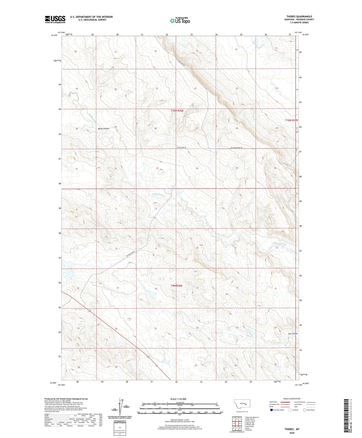
2024 topographic map quadrangle Thebes in the state of Montana. Scale: 1:24000. Based on the newly updated USGS 7.5' US Topo map series, this map is in the following counties: Rosebud. The map contains contour data, water features, and other items you are used to seeing on USGS maps, but also has updated roads and other features. This is the next generation of topographic maps. Printed on high-quality waterproof paper with UV fade-resistant inks.
Quads adjacent to this one:
West: Ingomar East
Northwest: Black Sea Reservoir
North: Hagen Ranch
Northeast: Brown Coulee
East: Zempel Lake
Southeast: Vananda
South: Ahles
Southwest: Steie Ranch
This map covers the same area as the classic USGS quad with code o46107e2.
Contains the following named places: 10N36E29DDC_01 Well, 10N36E34AAC_01 Well, Blind Coulee, Erickson L and I Number 5 Dam, Erickson Ranch, Montana Number 19 Dam, Thebes, Thebes Lake, Thebes Lake Dam, Thebes School