MyTopo
Big Rock Montana US Topo Map
Couldn't load pickup availability
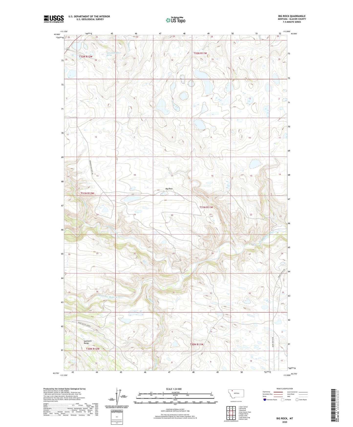
2024 topographic map quadrangle Big Rock in the state of Montana. Scale: 1:24000. Based on the newly updated USGS 7.5' US Topo map series, this map is in the following counties: Glacier. The map contains contour data, water features, and other items you are used to seeing on USGS maps, but also has updated roads and other features. This is the next generation of topographic maps. Printed on high-quality waterproof paper with UV fade-resistant inks.
Quads adjacent to this one:
West: East Glacier Park
Northwest: Starr School
North: Browning
Northeast: Blackfoot
East: Magee Ranch
Southeast: Mitten Lake
South: Half Dome Crag
Southwest: Hyde Creek
This map covers the same area as the classic USGS quad with code o48113d1.
Contains the following named places: 32N12W36ADCC01 Spring, Big Rock, Deep Creek, Elk Creek, South Fork Two Medicine River