MyTopo
Blacktail Creek SW Montana US Topo Map
Couldn't load pickup availability
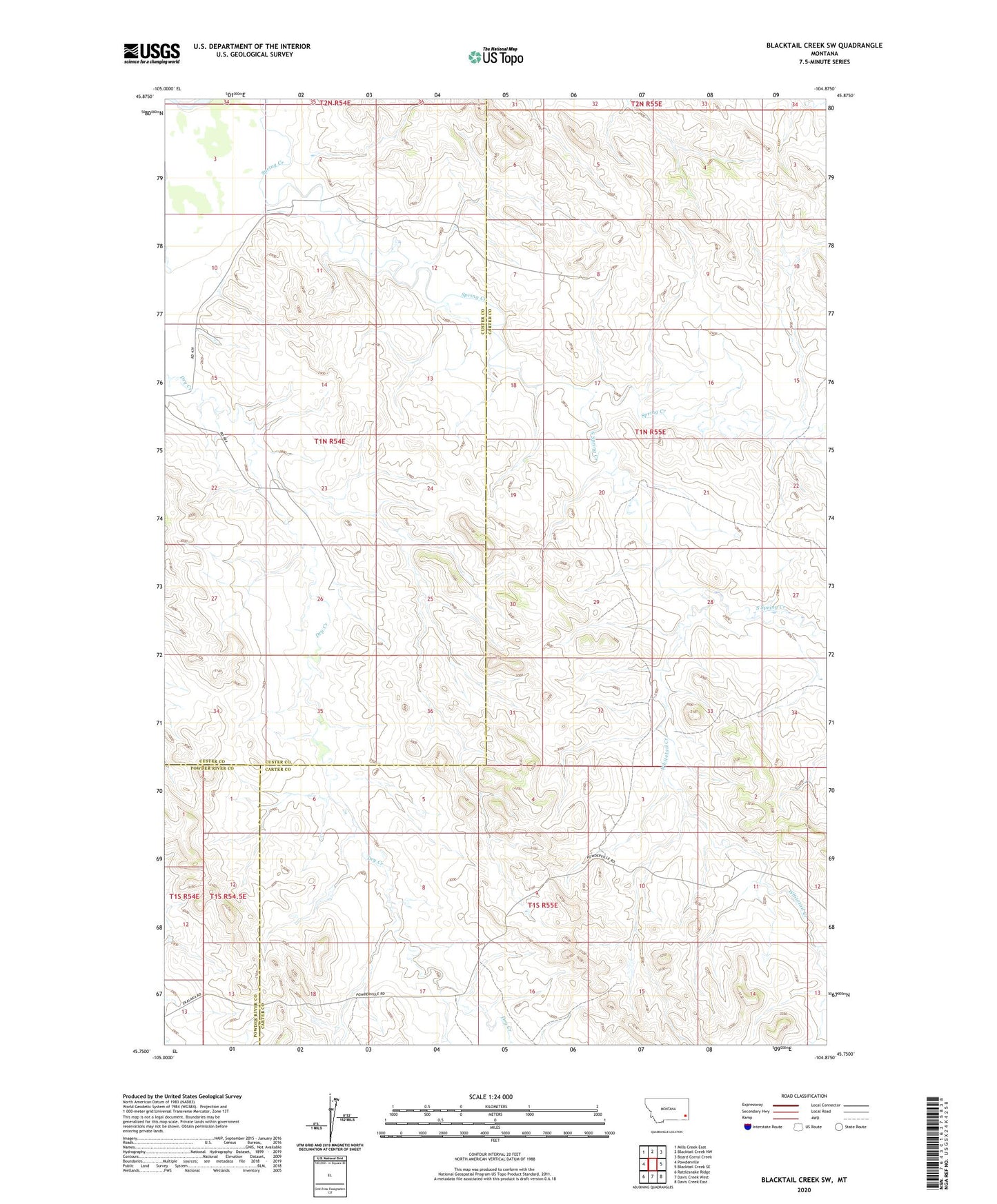
2024 topographic map quadrangle Blacktail Creek SW in the state of Montana. Scale: 1:24000. Based on the newly updated USGS 7.5' US Topo map series, this map is in the following counties: Carter, Custer, Powder River. The map contains contour data, water features, and other items you are used to seeing on USGS maps, but also has updated roads and other features. This is the next generation of topographic maps. Printed on high-quality waterproof paper with UV fade-resistant inks.
Quads adjacent to this one:
West: Powderville
Northwest: Mills Creek East
North: Blacktail Creek NW
Northeast: Board Corral Creek
East: Blacktail Creek SE
Southeast: Davis Creek East
South: Davis Creek West
Southwest: Rattlesnake Ridge
This map covers the same area as the classic USGS quad with code o45104g8.
Contains the following named places: 01N54E02CDCB01 Well, 01S54E12DBAD01 Well, 01S55E02DAAB01 Well, 01S55E11BBC_01 Well, 02N55E34DCC_01 Well, South Spring Creek, Whitetail Creek