MyTopo
Powderville Montana US Topo Map
Couldn't load pickup availability
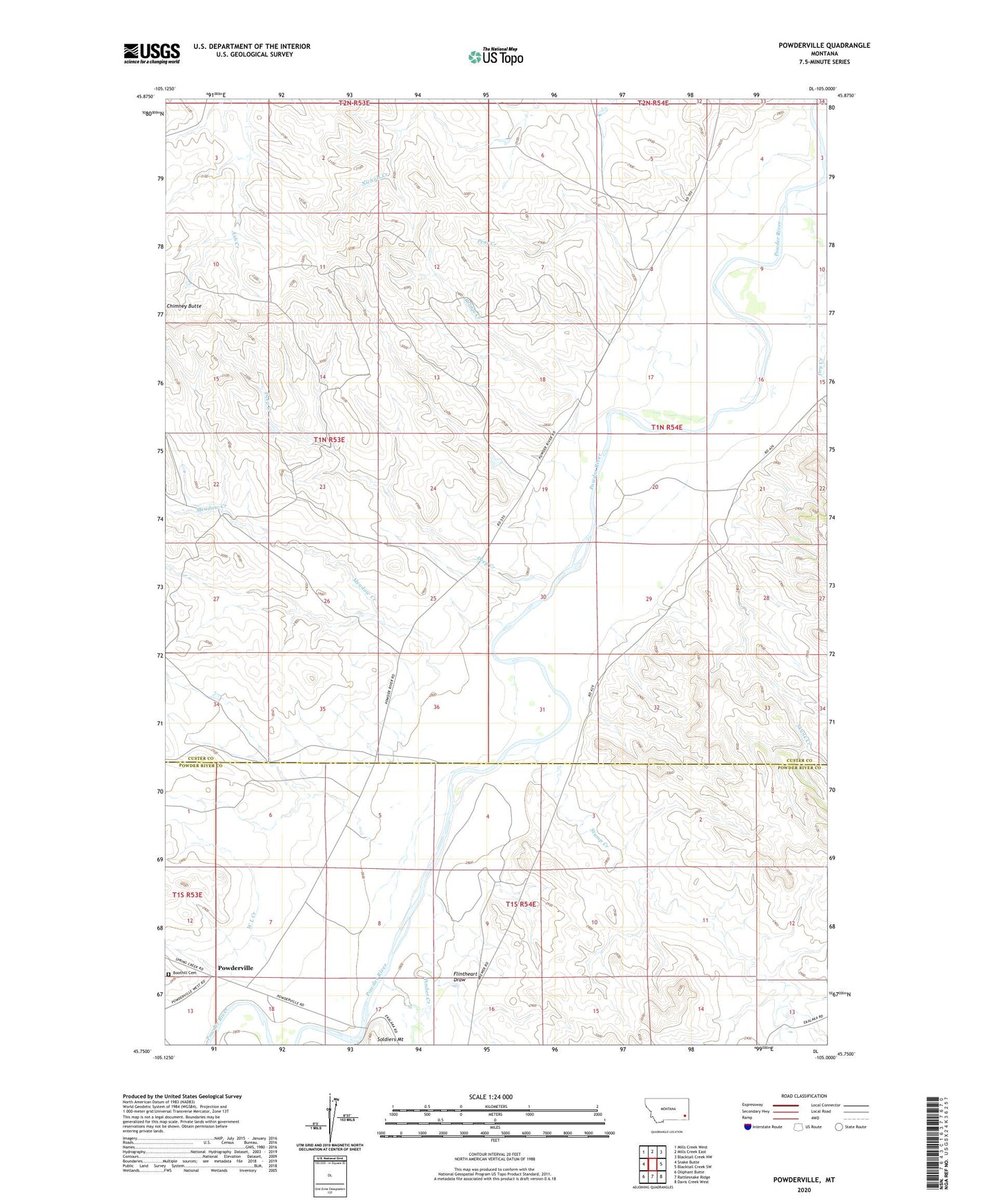
2024 topographic map quadrangle Powderville in the state of Montana. Scale: 1:24000. Based on the newly updated USGS 7.5' US Topo map series, this map is in the following counties: Custer, Powder River. The map contains contour data, water features, and other items you are used to seeing on USGS maps, but also has updated roads and other features. This is the next generation of topographic maps. Printed on high-quality waterproof paper with UV fade-resistant inks.
Quads adjacent to this one:
West: Snake Butte
Northwest: Mills Creek West
North: Mills Creek East
Northeast: Blacktail Creek NW
East: Blacktail Creek SW
Southeast: Davis Creek West
South: Rattlesnake Ridge
Southwest: Oliphant Butte
This map covers the same area as the classic USGS quad with code o45105g1.
Contains the following named places: 01N53E01ADDA01 Well, 01N53E24DDBD01 Well, 01N53E35DCBC01 Well, 01N54E09BBDA01 Well, 01N54E18DDAC01 Well, 01N54E18DDBA01 Well, 01S54E04BADD01 Well, 01S54E17ACD_01 Well, 01S54E17BDC_01 Well, 01S54E18ABD_01 Well, 03S54E04DCDA01 Well, 03S54E10DDBD01 Well, Boothill Cemetery, Bridge Creek, Deep Creek, Dry Creek, Flintheart Draw, Hunt School, Meadow Creek, Peas Creek, Powderville, Powderville Community Hall, Skunk Creek, Soldiers Mount, Stump Creek, Timber Creek, W L Creek