MyTopo
Cabin Creek NE Wyoming US Topo Map
Couldn't load pickup availability
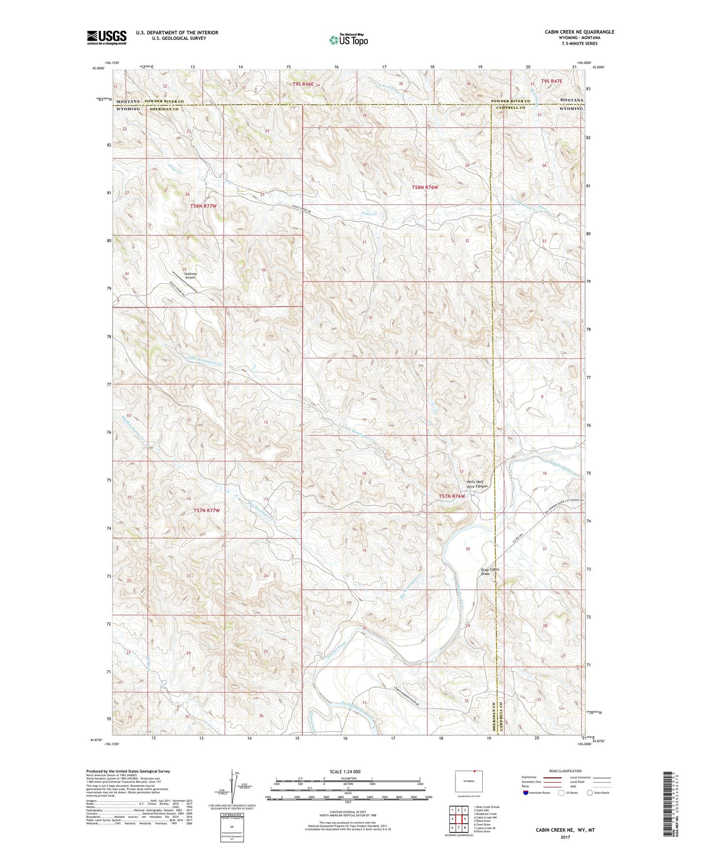
2021 topographic map quadrangle Cabin Creek NE in the state of Wyoming. Scale: 1:24000. Based on the newly updated USGS 7.5' US Topo map series, this map is in the following counties: Sheridan, Campbell, Powder River. The map contains contour data, water features, and other items you are used to seeing on USGS maps, but also has updated roads and other features. This is the next generation of topographic maps. Printed on high-quality waterproof paper with UV fade-resistant inks.
Quads adjacent to this one:
West: Cabin Creek NW
Northwest: Bear Creek School
North: Sayle Hall
Northeast: Bradshaw Creek
East: Black Draw
Southeast: Kline Draw
South: Cabin Creek SE
Southwest: Fawn Draw
This map covers the same area as the classic USGS quad with code o44106h1.
Contains the following named places: Big Remington Creek, Clear Creek, Fence Creek Oil Field, Ford Number 1 Dam, Ford Reservoir Number 1, Gray Cabin Draw, Hells Half Acre Canyon, Little Remington Creek, North Fork Fence Creek, Red Prong, Stallions Airport