MyTopo
Buffalo Creek NE Montana US Topo Map
Couldn't load pickup availability
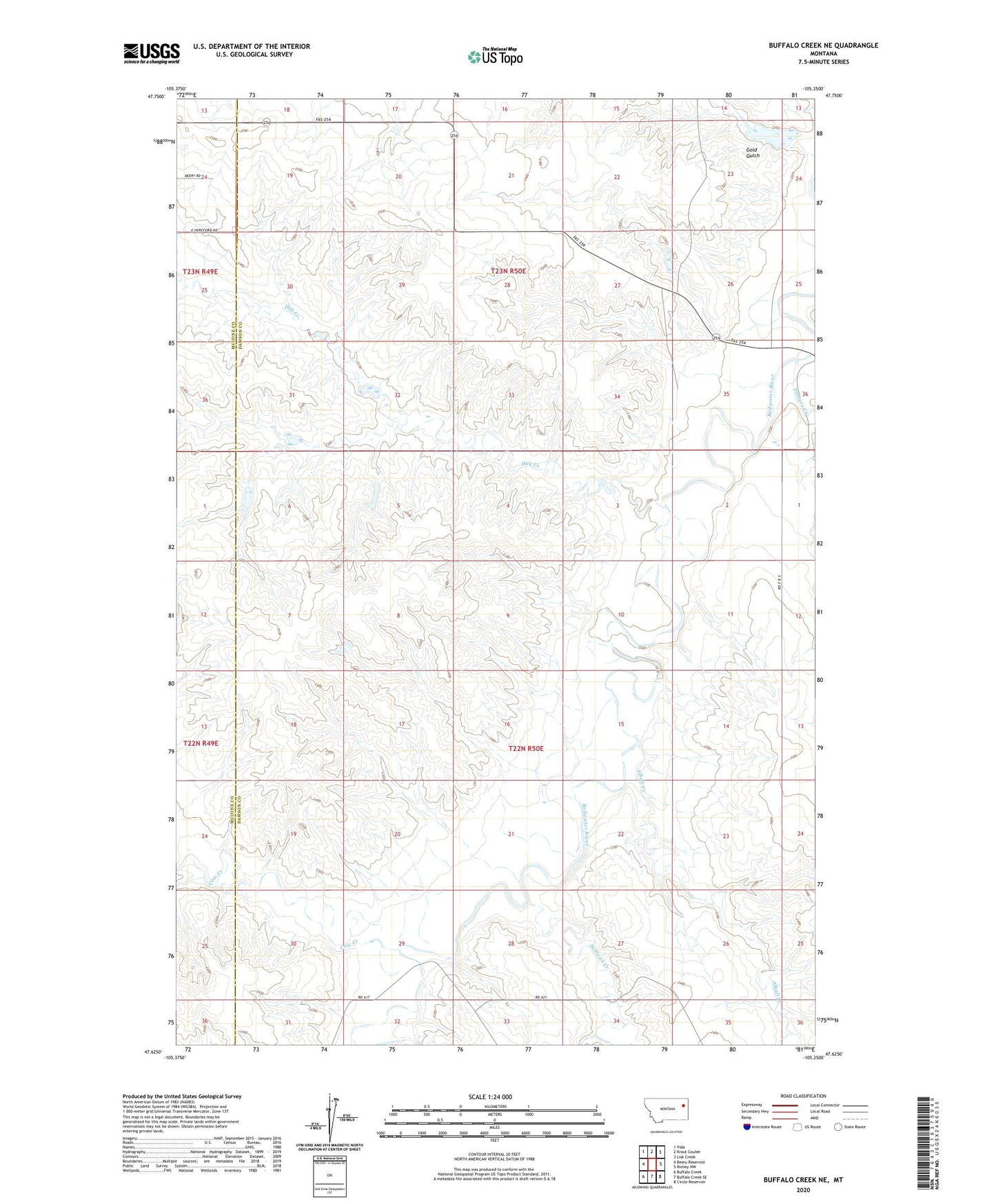
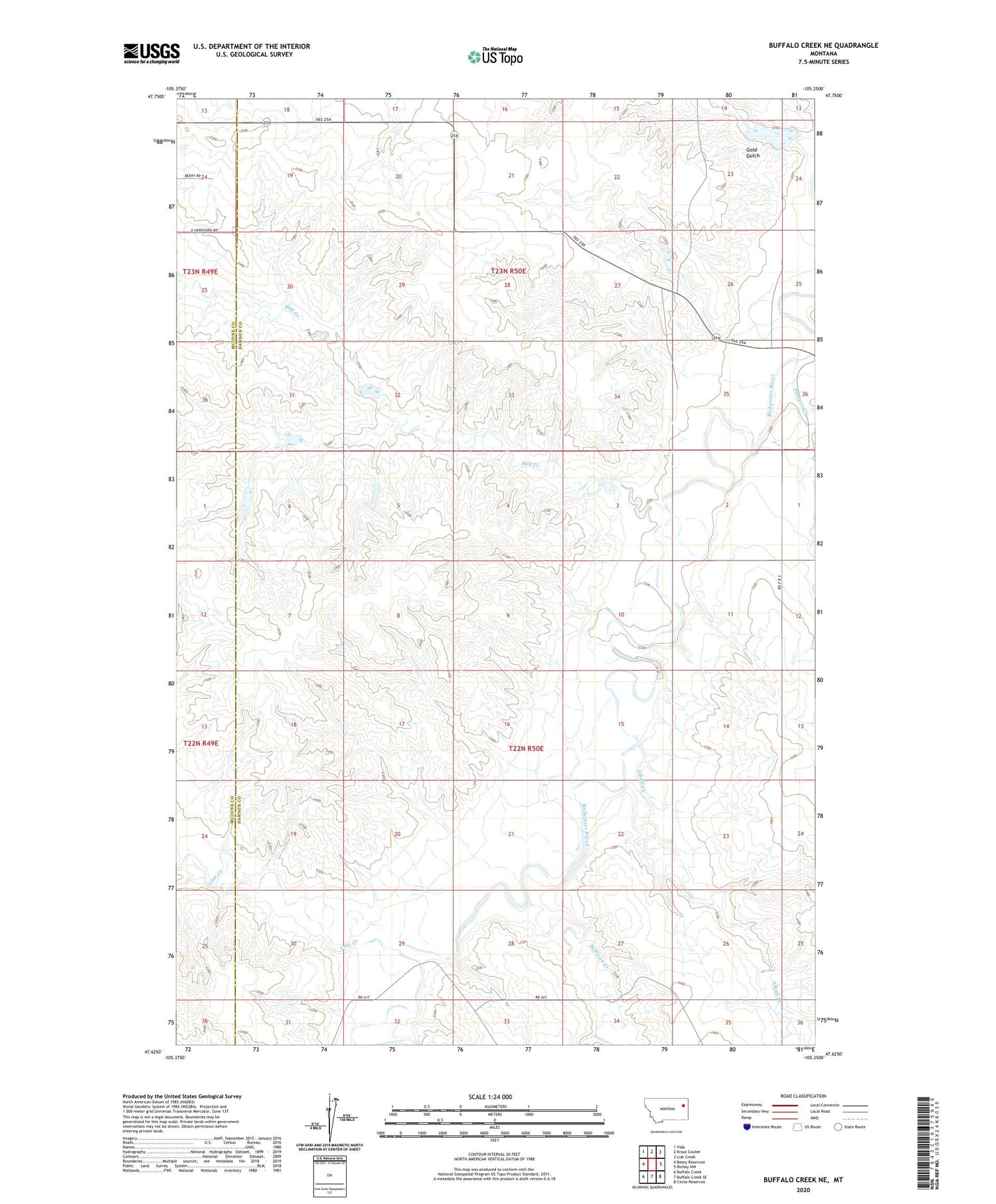
2020 topographic map quadrangle Buffalo Creek NE in the state of Montana. Scale: 1:24000. Based on the newly updated USGS 7.5' US Topo map series, this map is in the following counties: Dawson, McCone. The map contains contour data, water features, and other items you are used to seeing on USGS maps, but also has updated roads and other features. This is the next generation of topographic maps. Printed on high-quality waterproof paper with UV fade-resistant inks.
Quads adjacent to this one:
West: Beery Reservoir
Northwest: Vida
North: Kraut Coulee
Northeast: Lisk Creek
East: Richey NW
Southeast: Circle Reservoir
South: Buffalo Creek SE
Southwest: Buffalo Creek
Contains the following named places: 22N50E06BCAC01 Well, 22N50E08ADBB01 Well, 22N50E20DADC01 Well, 22N50E22ACAD01 Well, 22N50E29CCCA01 Well, 22N50E29CCCB01 Well, 22N50E29CCCC01 Well, 22N50E29CCDB01 Well, 22N50E35AAAD01 Well, 2350 Redwater Dam, 23N50E19BBB_01 Well, 23N50E19BDC_01 Well, 23N50E19DCC_01 Well, 23N50E22CBCD01 Well, 23N50E26ACAD01 Well, 23N50E27ADAD01 Well, 23N50E30BBAB01 Well, 23N50E34DBBC01 Well, 23N50E35CCAC01 Well, Alkali Creek, Axtell Post Office, Axtell School, Berrys Land Number 2 Dam, Berrys Land Number 3 Dam, Cow Creek, Gold Gulch, Hay Creek, Paxton, Paxton Post Office, Riverside Post Office, Rose Hill School, Smile Number 1 Dam, Stark School, Sullivan Creek