MyTopo
Circle Reservoir Montana US Topo Map
Couldn't load pickup availability
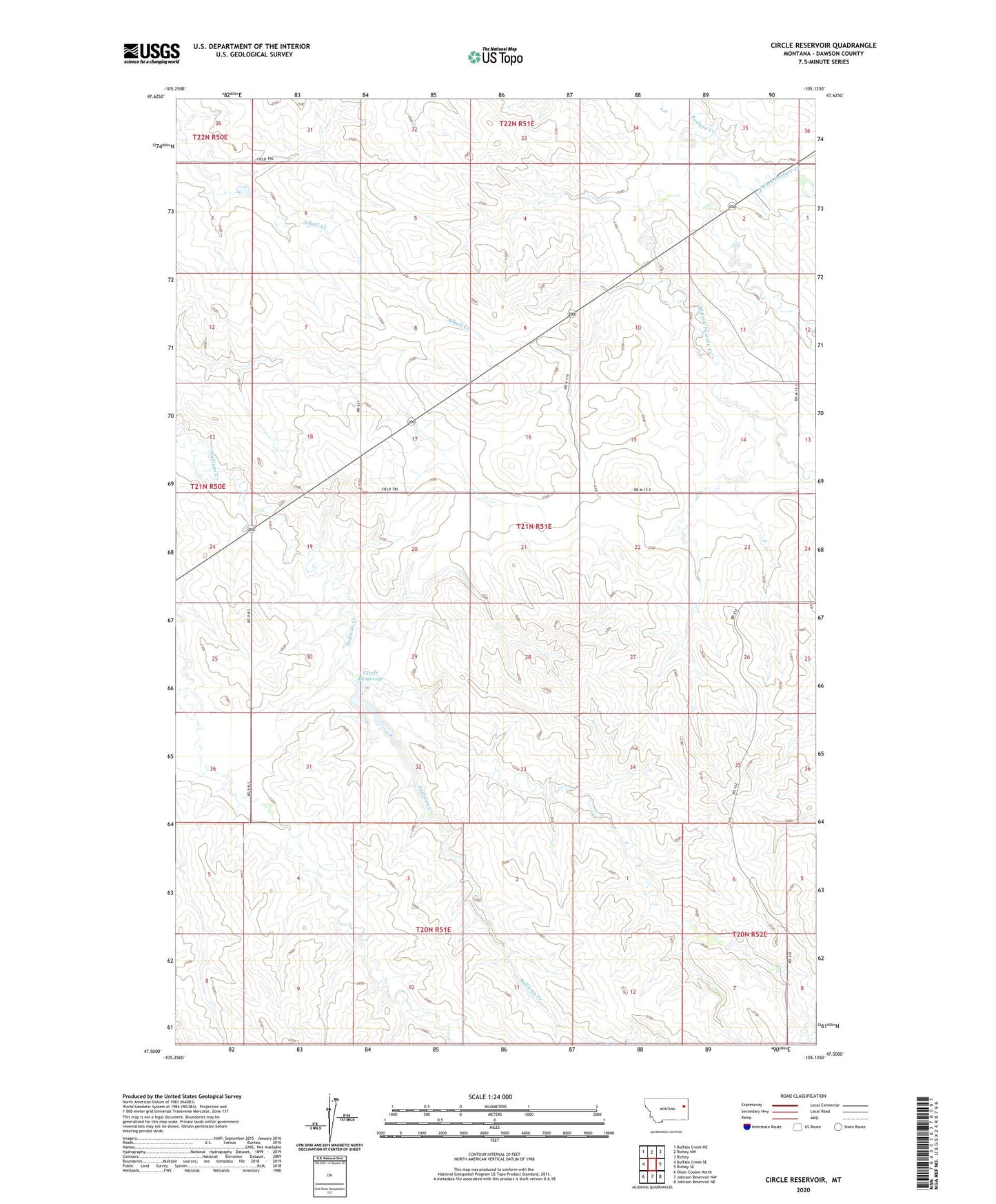
2024 topographic map quadrangle Circle Reservoir in the state of Montana. Scale: 1:24000. Based on the newly updated USGS 7.5' US Topo map series, this map is in the following counties: Dawson. The map contains contour data, water features, and other items you are used to seeing on USGS maps, but also has updated roads and other features. This is the next generation of topographic maps. Printed on high-quality waterproof paper with UV fade-resistant inks.
Quads adjacent to this one:
West: Buffalo Creek SE
Northwest: Buffalo Creek NE
North: Richey NW
Northeast: Richey
East: Richey SE
Southeast: Johnson Reservoir NE
South: Johnson Reservoir NW
Southwest: Olson Coulee North
This map covers the same area as the classic USGS quad with code o47105e2.
Contains the following named places: 21N50E13DCBC01 Well, 21N50E36ABBB01 Well, 21N51E10ABBC01 Well, 21N51E10ABCD01 Well, 21N51E14BABD01 Well, 21N51E14BABD02 Well, 21N51E14BABD03 Well, 21N51E14CBBB01 Well, 21N51E18BAAB01 Well, 21N51E19ABBB01 Well, 21N51E19BABC01 Well, Circle Reservoir, Circle Reservoir Dam, Dean S Number 2 Dam, East Fork Pasture Creek, Hentzy School, Libby School, Sullivan School, West Fork Pasture Creek