MyTopo
Camas Ridge East Montana US Topo Map
Couldn't load pickup availability
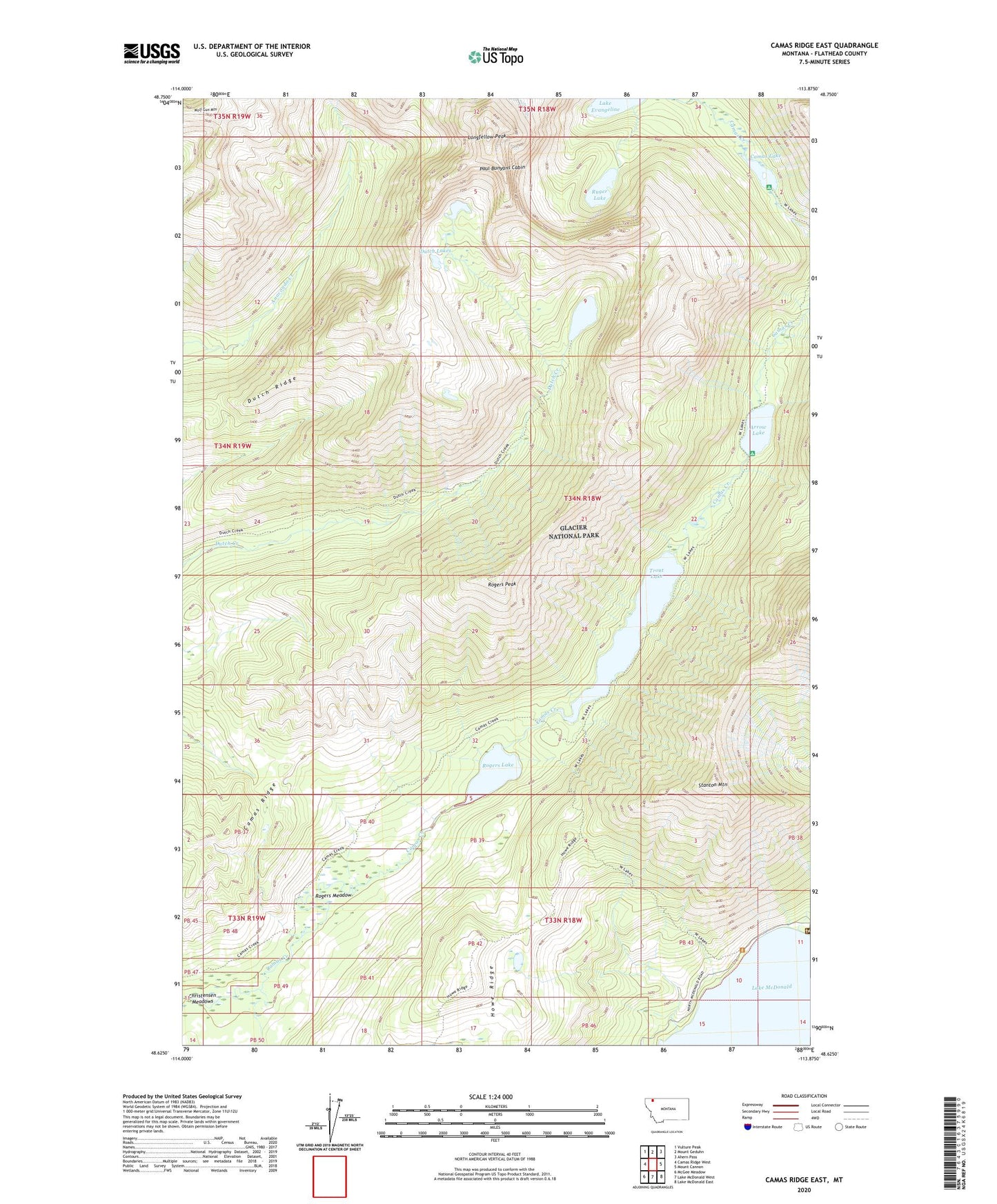
2024 topographic map quadrangle Camas Ridge East in the state of Montana. Scale: 1:24000. Based on the newly updated USGS 7.5' US Topo map series, this map is in the following counties: Flathead. The map contains contour data, water features, and other items you are used to seeing on USGS maps, but also has updated roads and other features. This is the next generation of topographic maps. Printed on high-quality waterproof paper with UV fade-resistant inks.
Quads adjacent to this one:
West: Camas Ridge West
Northwest: Vulture Peak
North: Mount Geduhn
Northeast: Ahern Pass
East: Mount Cannon
Southeast: Lake McDonald East
South: Lake McDonald West
Southwest: McGee Meadow
This map covers the same area as the classic USGS quad with code o48113f8.
Contains the following named places: Arrow Lake, Camas Creek Trail, Camas Lake, Camas Ridge, Dutch Lakes, Dutch Ridge, Glacier National Park Division, Howe Ridge, Lake Evangeline, Longfellow Peak, Paul Bunyans Cabin, Rogers Lake, Rogers Meadow, Rogers Peak, Ruger Lake, Stanton Mountain, Trout Lake, Wolf Gun Mountain