MyTopo
Mickey Butte Montana US Topo Map
Couldn't load pickup availability
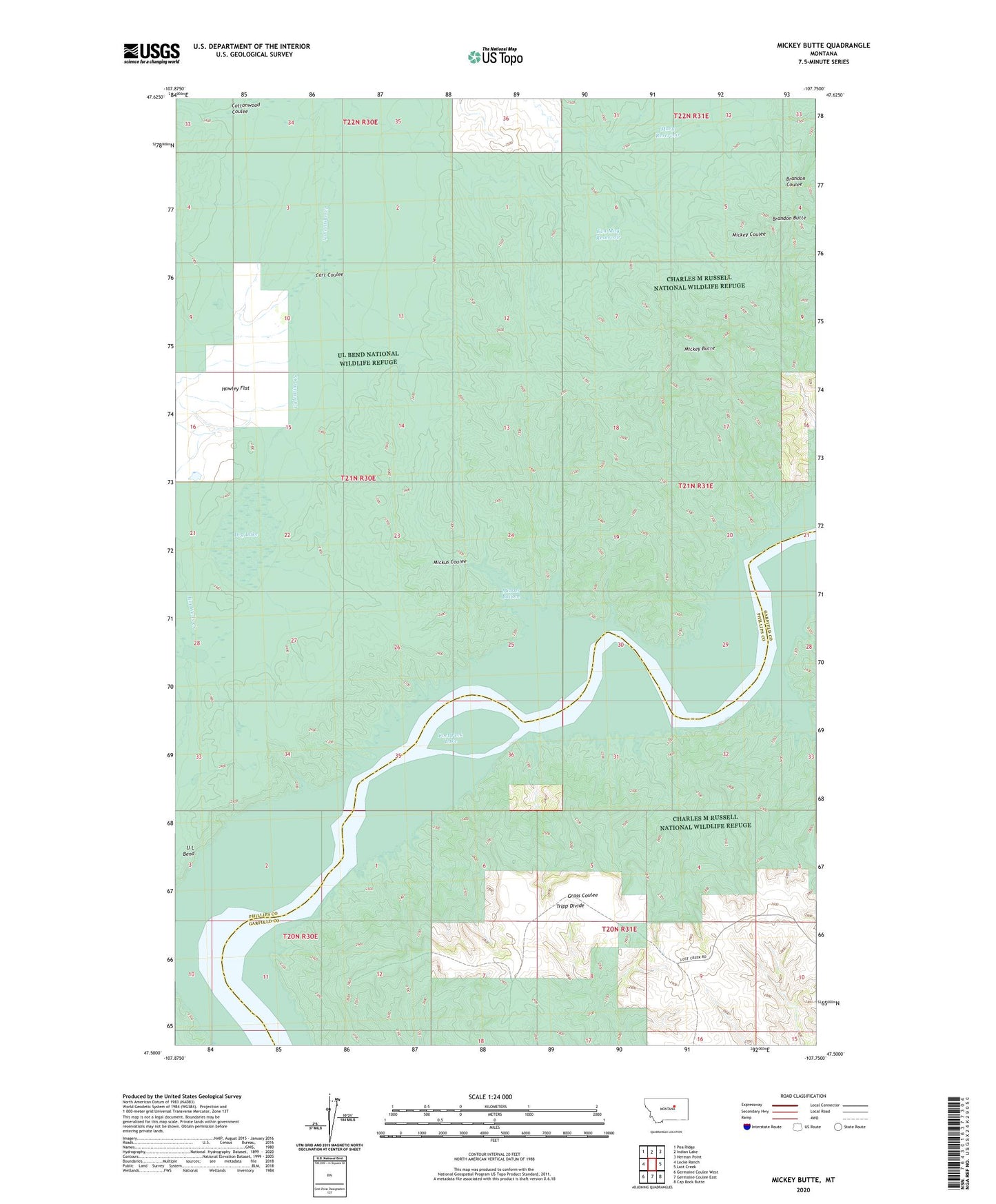
2024 topographic map quadrangle Mickey Butte in the state of Montana. Scale: 1:24000. Based on the newly updated USGS 7.5' US Topo map series, this map is in the following counties: Phillips, Garfield. The map contains contour data, water features, and other items you are used to seeing on USGS maps, but also has updated roads and other features. This is the next generation of topographic maps. Printed on high-quality waterproof paper with UV fade-resistant inks.
Quads adjacent to this one:
West: Locke Ranch
Northwest: Pea Ridge
North: Indian Lake
Northeast: Herman Point
East: Lost Creek
Southeast: Cap Rock Butte
South: Germaine Coulee East
Southwest: Germaine Coulee West
This map covers the same area as the classic USGS quad with code o47107e7.
Contains the following named places: 24N31E30AD__01 Well, 24N31E31AC__01 Well, 24N31E32____01 Well, Cart Coulee, Dry Lake, Eva May Reservoir, Mary Dam, Mary Reservoir, Mickey Butte, Mickus Bottom, Mickus Coulee, Stratton Reservoir Dam, Tripp Divide