MyTopo
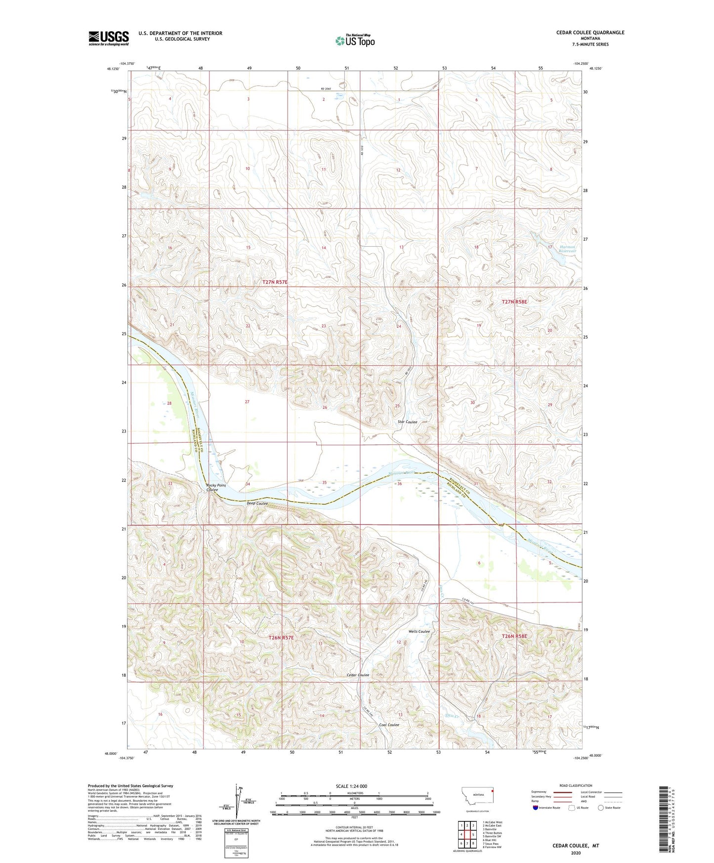
Cedar Coulee Montana US Topo Map
Couldn't load pickup availability
2020 topographic map quadrangle Cedar Coulee in the state of Montana. Scale: 1:24000. Based on the newly updated USGS 7.5' US Topo map series, this map is in the following counties: Roosevelt, Richland. The map contains contour data, water features, and other items you are used to seeing on USGS maps, but also has updated roads and other features. This is the next generation of topographic maps. Printed on high-quality waterproof paper with UV fade-resistant inks.
Quads adjacent to this one:
West: Three Buttes
Northwest: McCabe West
North: McCabe East
Northeast: Bainville
East: Bainville SW
Southeast: Fairview NW
South: Sioux Pass
Southwest: Blue Hill
Contains the following named places: 26N57E01BB__01 Well, 26N57E01DD__01 Well, 26N58E05AB__01 Well, 26N58E06CC__01 Well, 27N57E01BC__01 Well, 27N57E01BC__02 Well, 27N57E01BC__03 Well, 27N57E02CB__01 Well, 27N57E03DB__01 Well, 27N57E10BA__01 Well, 27N57E10BA__02 Well, 27N57E12BB__01 Well, 27N57E13CB__01 Well, 27N57E14AA__01 Well, 27N57E14AA__02 Well, 27N57E24ACBA01 Well, 27N57E26DB__01 Well, 27N57E28BDA_01 Well, 27N57E36CD__01 Well, 27N58E06BC__01 Well, 27N58E07BB__01 Well, 27N58E07BB__02 Well, Becker School, Cedar Coulee, Coal Coulee, Deep Coulee, Gettin' High Dam, Harmon Reservoir, Harmon Reservoir Dam, Leeson School, Otis Creek, Rocky Point Coulee, Star Coulee, Trudell Number 1 Dam, Wells Coulee