MyTopo
Fairview NW Montana US Topo Map
Couldn't load pickup availability
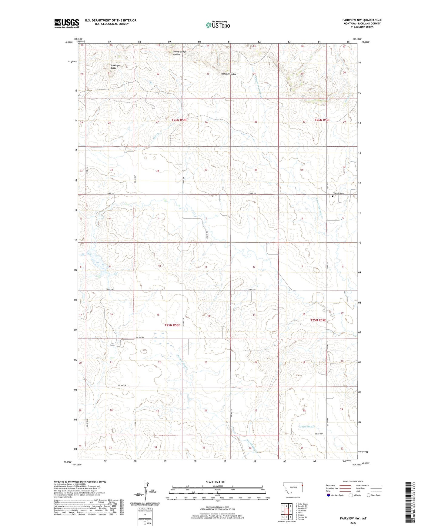
2024 topographic map quadrangle Fairview NW in the state of Montana. Scale: 1:24000. Based on the newly updated USGS 7.5' US Topo map series, this map is in the following counties: Richland. The map contains contour data, water features, and other items you are used to seeing on USGS maps, but also has updated roads and other features. This is the next generation of topographic maps. Printed on high-quality waterproof paper with UV fade-resistant inks.
Quads adjacent to this one:
West: Sioux Pass
Northwest: Cedar Coulee
North: Bainville SW
Northeast: Bainville SE
East: Dore
Southeast: Fairview
South: Fairview SW
Southwest: Brorson
This map covers the same area as the classic USGS quad with code o47104h2.
Contains the following named places: 25N58E03BBCC01 Well, 25N58E12DCCB01 Well, 25N58E13ADD_01 Well, 25N58E21DDDC01 Well, 25N58E24CCC_01 Well, 25N58E24CCCB01 Well, 25N58E27CCBD01 Well, 25N59E18CBDC01 Well, 25N59E18DC__01 Well, 26N58E21CCCC01 Well, 26N59E32BAAA01 Well, 59221, Antelope Butte, Fourmile Cemetery, Leo Delaney Dam