MyTopo
Cement Hill Montana US Topo Map
Couldn't load pickup availability
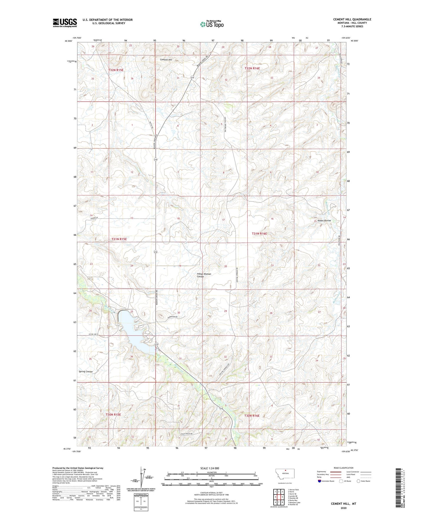
2024 topographic map quadrangle Cement Hill in the state of Montana. Scale: 1:24000. Based on the newly updated USGS 7.5' US Topo map series, this map is in the following counties: Hill. The map contains contour data, water features, and other items you are used to seeing on USGS maps, but also has updated roads and other features. This is the next generation of topographic maps. Printed on high-quality waterproof paper with UV fade-resistant inks.
Quads adjacent to this one:
West: Laredo NE
Northwest: Herron Park
North: Havre
Northeast: Havre SE
East: Shambo NE
Southeast: Shambo SE
South: Bearpaw Lake
Southwest: Rocky Boy
This map covers the same area as the classic USGS quad with code o48109d6.
Contains the following named places: Beaver Creek Park Campground, Beaver Creek Reservoir Dam, Cement Hill, Havre Division, Hobbs Ravine, Lower Lake