MyTopo
Coburn Butte Montana US Topo Map
Couldn't load pickup availability
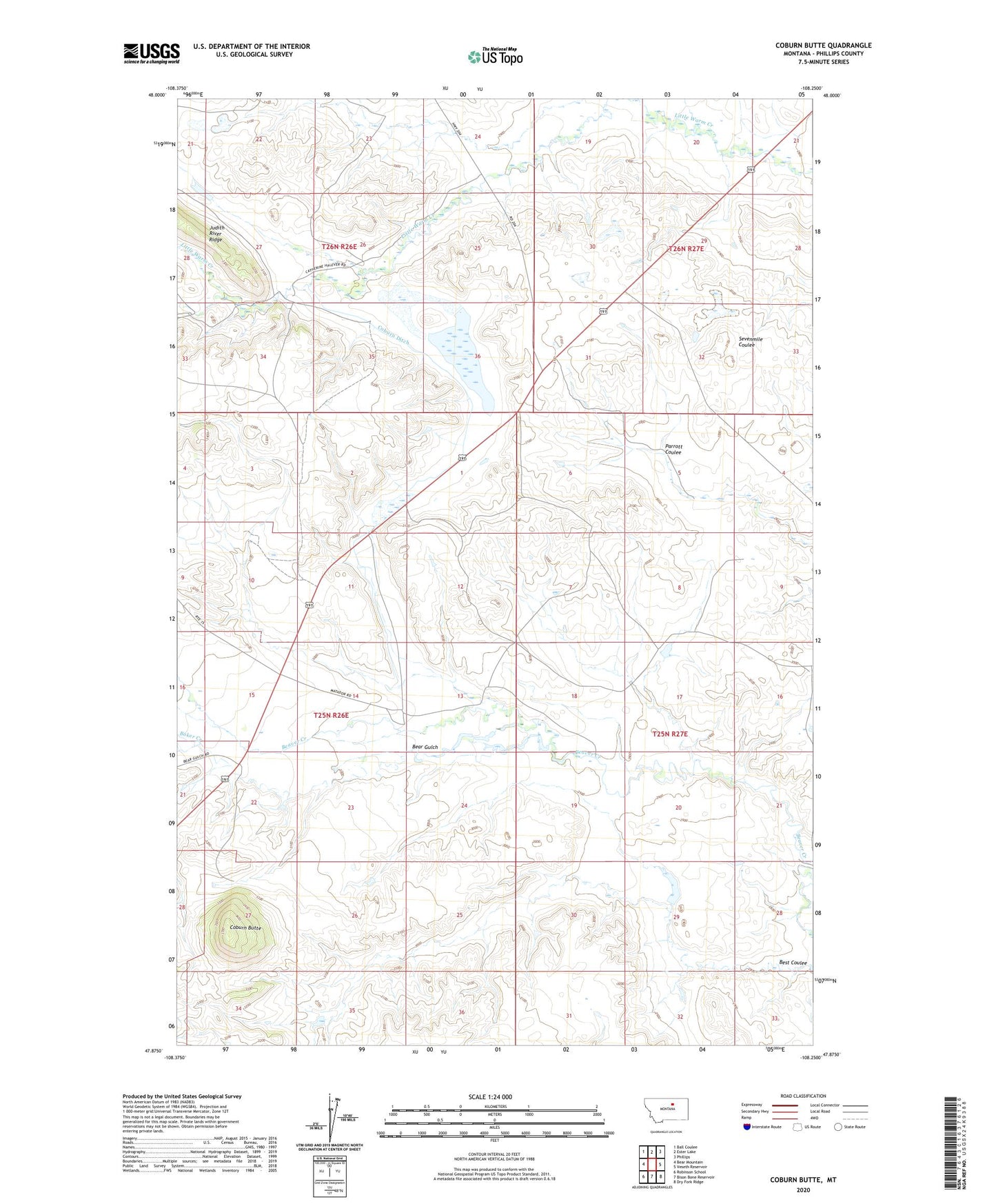
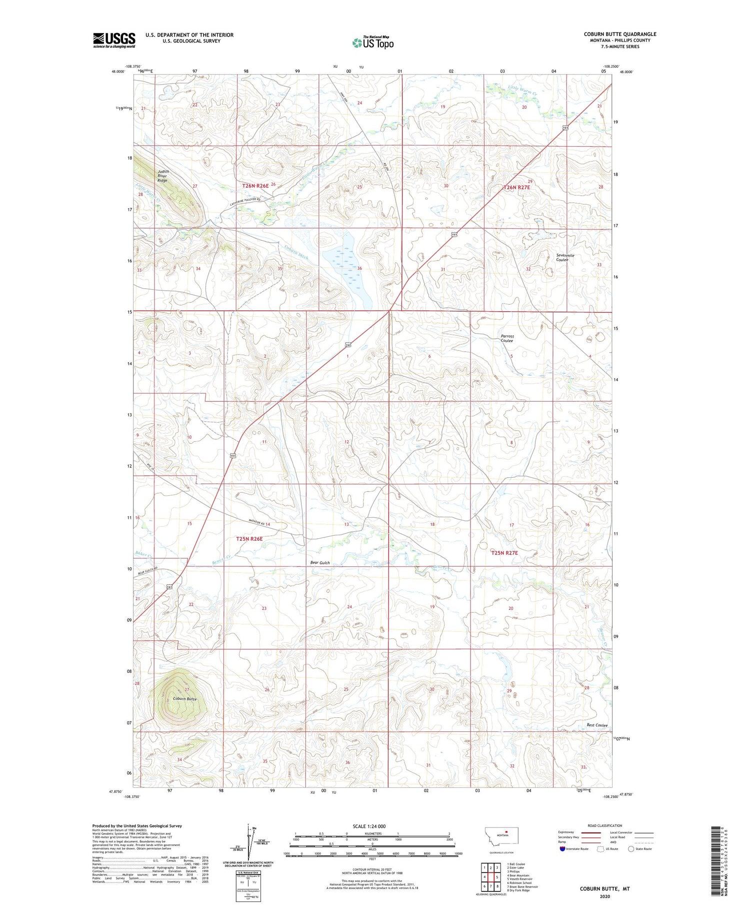
2020 topographic map quadrangle Coburn Butte in the state of Montana. Scale: 1:24000. Based on the newly updated USGS 7.5' US Topo map series, this map is in the following counties: Phillips. The map contains contour data, water features, and other items you are used to seeing on USGS maps, but also has updated roads and other features. This is the next generation of topographic maps. Printed on high-quality waterproof paper with UV fade-resistant inks.
Quads adjacent to this one:
West: Bear Mountain
Northwest: Ball Coulee
North: Ester Lake
Northeast: Phillips
East: Veseth Reservoir
Southeast: Dry Fork Ridge
South: Bison Bone Reservoir
Southwest: Robinson School
Contains the following named places: 25N26E15CCCA01 Well, 25N26E15CDC_01 Well, 25N26E22BBBB01 Well, 26N26E27DDBC01 Well, 26N26E33AAA_01 Well, 26N26E33AAA_02 Well, Baker Creek, Bear Gulch, Best Coulee, Coburn Butte, Coburn Ditch, Matador Ranch, Matador Ranch Number 3 Dam, Matador Ranch Number 4 Dam, Matador Ranch Number 6 Dam, Matador Ranch Number 8 Dam, Schmoeckel School