MyTopo
Deer Creek Buttes Montana US Topo Map
Couldn't load pickup availability
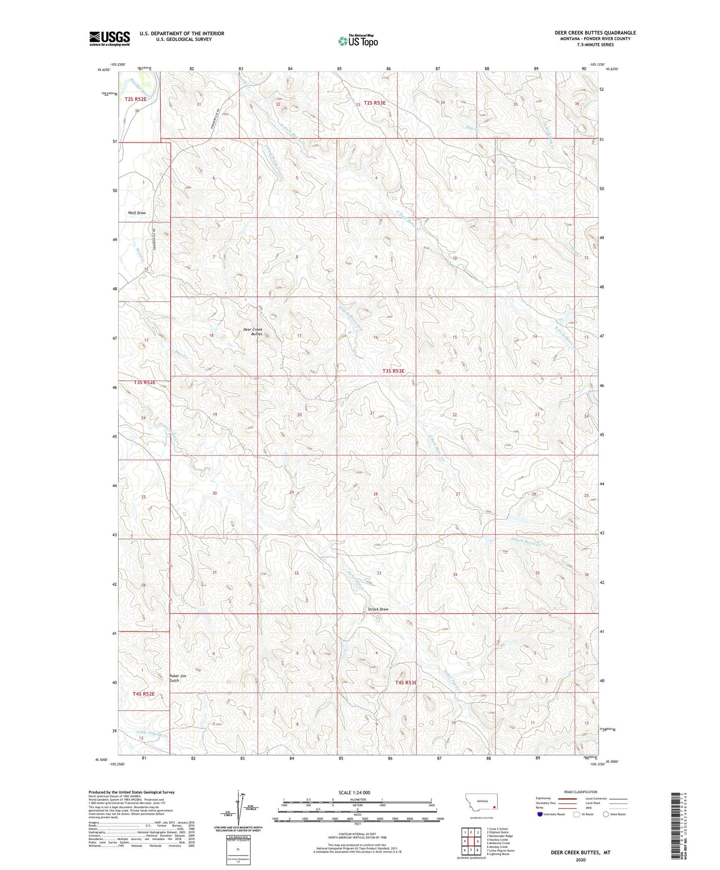
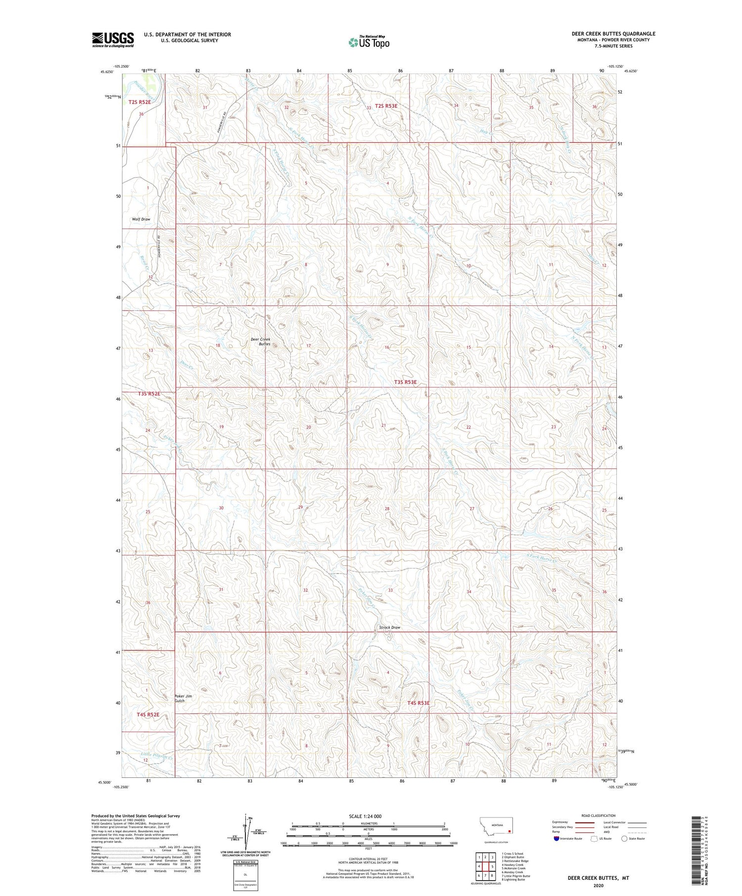
2020 topographic map quadrangle Deer Creek Buttes in the state of Montana. Scale: 1:24000. Based on the newly updated USGS 7.5' US Topo map series, this map is in the following counties: Powder River. The map contains contour data, water features, and other items you are used to seeing on USGS maps, but also has updated roads and other features. This is the next generation of topographic maps. Printed on high-quality waterproof paper with UV fade-resistant inks.
Quads adjacent to this one:
West: Hawkey Creek
Northwest: Cross S School
North: Oliphant Butte
Northeast: Rattlesnake Ridge
East: McKenzie Creek
Southeast: Lightning Butte
South: Little Pilgrim Butte
Southwest: Monday Creek
Contains the following named places: 03S53E18ACBD01 Well, 03S53E21BAA_01 Well, 03S53E30ACC_01 Well, 03S53E33DBD_01 Well, Deer Creek Buttes, North Fork Horse Creek, South Fork Horse Creek, Strock Draw, Wolf Draw