MyTopo
Little Pilgrim Butte Montana US Topo Map
Couldn't load pickup availability
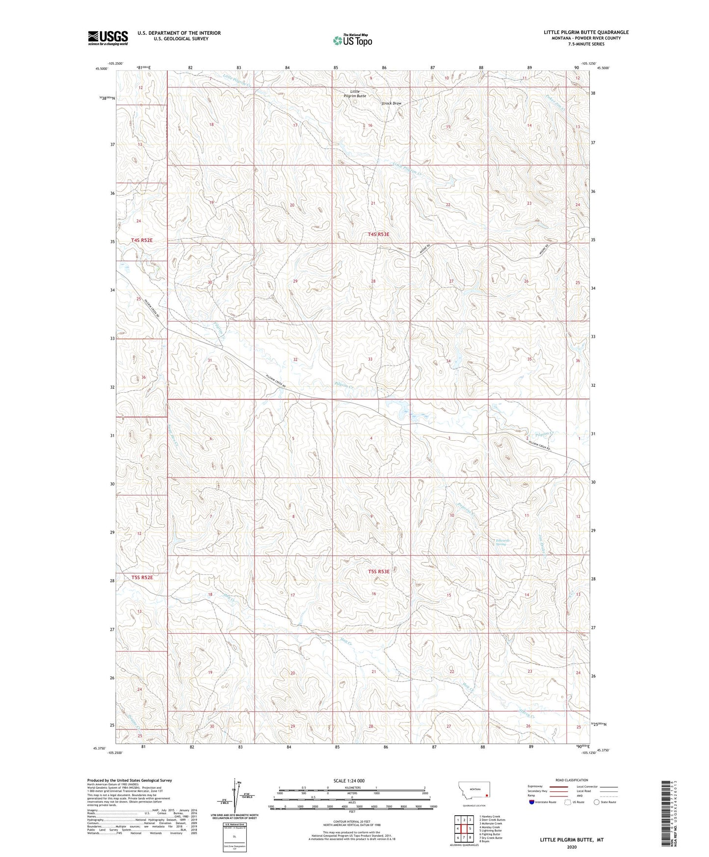
2024 topographic map quadrangle Little Pilgrim Butte in the state of Montana. Scale: 1:24000. Based on the newly updated USGS 7.5' US Topo map series, this map is in the following counties: Powder River. The map contains contour data, water features, and other items you are used to seeing on USGS maps, but also has updated roads and other features. This is the next generation of topographic maps. Printed on high-quality waterproof paper with UV fade-resistant inks.
Quads adjacent to this one:
West: Monday Creek
Northwest: Hawkey Creek
North: Deer Creek Buttes
Northeast: McKenzie Creek
East: Lightning Butte
Southeast: Boyes
South: Dry Creek Butte
Southwest: Fighting Butte
This map covers the same area as the classic USGS quad with code o45105d2.
Contains the following named places: 04S52E13DDA_01 Well, 04S53E10DAD_01 Well, 04S53E14AA__01 Well, 04S53E33CCB_01 Well, 04S53E33DCC_01 Well, Edwards Spring, Harry Creek, Little Pilgrim Butte, Papoose Creek, Sage Hen Creek