MyTopo
Dooley SW Montana US Topo Map
Couldn't load pickup availability
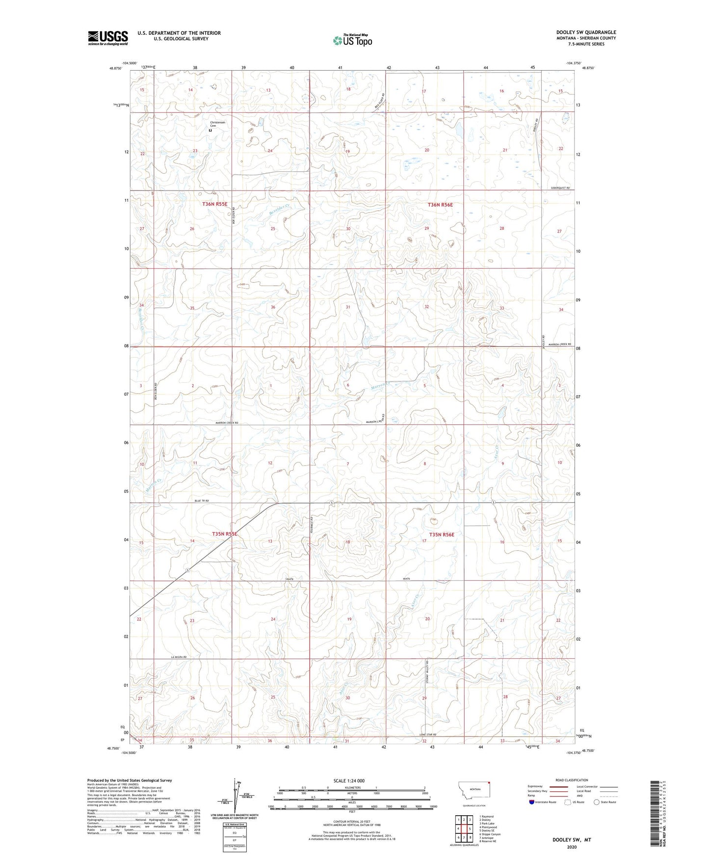
2024 topographic map quadrangle Dooley SW in the state of Montana. Scale: 1:24000. Based on the newly updated USGS 7.5' US Topo map series, this map is in the following counties: Sheridan. The map contains contour data, water features, and other items you are used to seeing on USGS maps, but also has updated roads and other features. This is the next generation of topographic maps. Printed on high-quality waterproof paper with UV fade-resistant inks.
Quads adjacent to this one:
West: Plentywood
Northwest: Raymond
North: Dooley
Northeast: Park Lake
East: Dooley SE
Southeast: Reserve NE
South: Antelope
Southwest: Shippe Canyon
This map covers the same area as the classic USGS quad with code o48104g4.
Contains the following named places: 35N55E14DBDD01 Well, 35N56E07CBBB01 Well, 35N56E16BBDB01 Well, 35N56E32ABAB01 Well, Christensen Cemetery, Fairview School, Marsh School