MyTopo
Dooley SE Montana US Topo Map
Couldn't load pickup availability
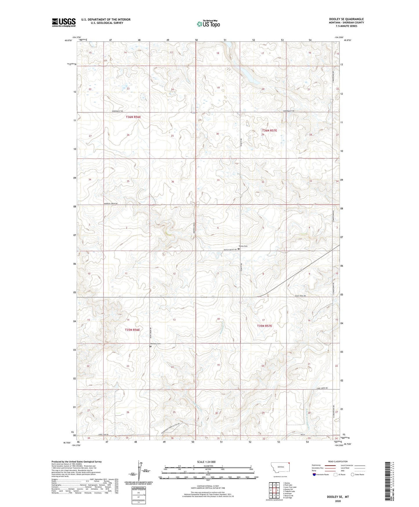
2024 topographic map quadrangle Dooley SE in the state of Montana. Scale: 1:24000. Based on the newly updated USGS 7.5' US Topo map series, this map is in the following counties: Sheridan. The map contains contour data, water features, and other items you are used to seeing on USGS maps, but also has updated roads and other features. This is the next generation of topographic maps. Printed on high-quality waterproof paper with UV fade-resistant inks.
Quads adjacent to this one:
West: Dooley SW
Northwest: Dooley
North: Park Lake
Northeast: Lone Tree Lake
East: Tadpole Lake
Southeast: Coalridge
South: Reserve NE
Southwest: Antelope
This map covers the same area as the classic USGS quad with code o48104g3.
Contains the following named places: 35N56E23CDCD01 Well, 35N56E23CDDD01 Well, Bain School, Bethany Cemetery, Johnson School, McNulty Post Office, Rocky Springs School, Soderquist Dam, Thomas Dam, Trinity Cemetery