MyTopo
Dubbe Reservoir Montana US Topo Map
Couldn't load pickup availability
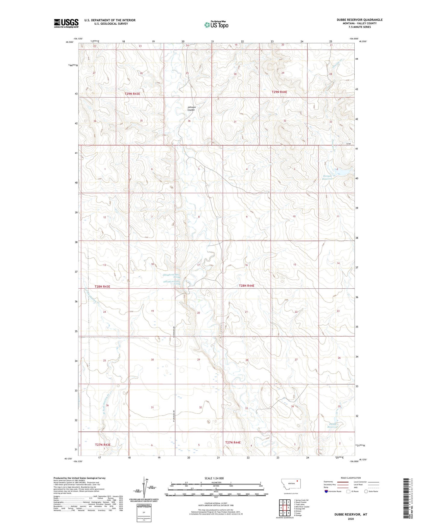
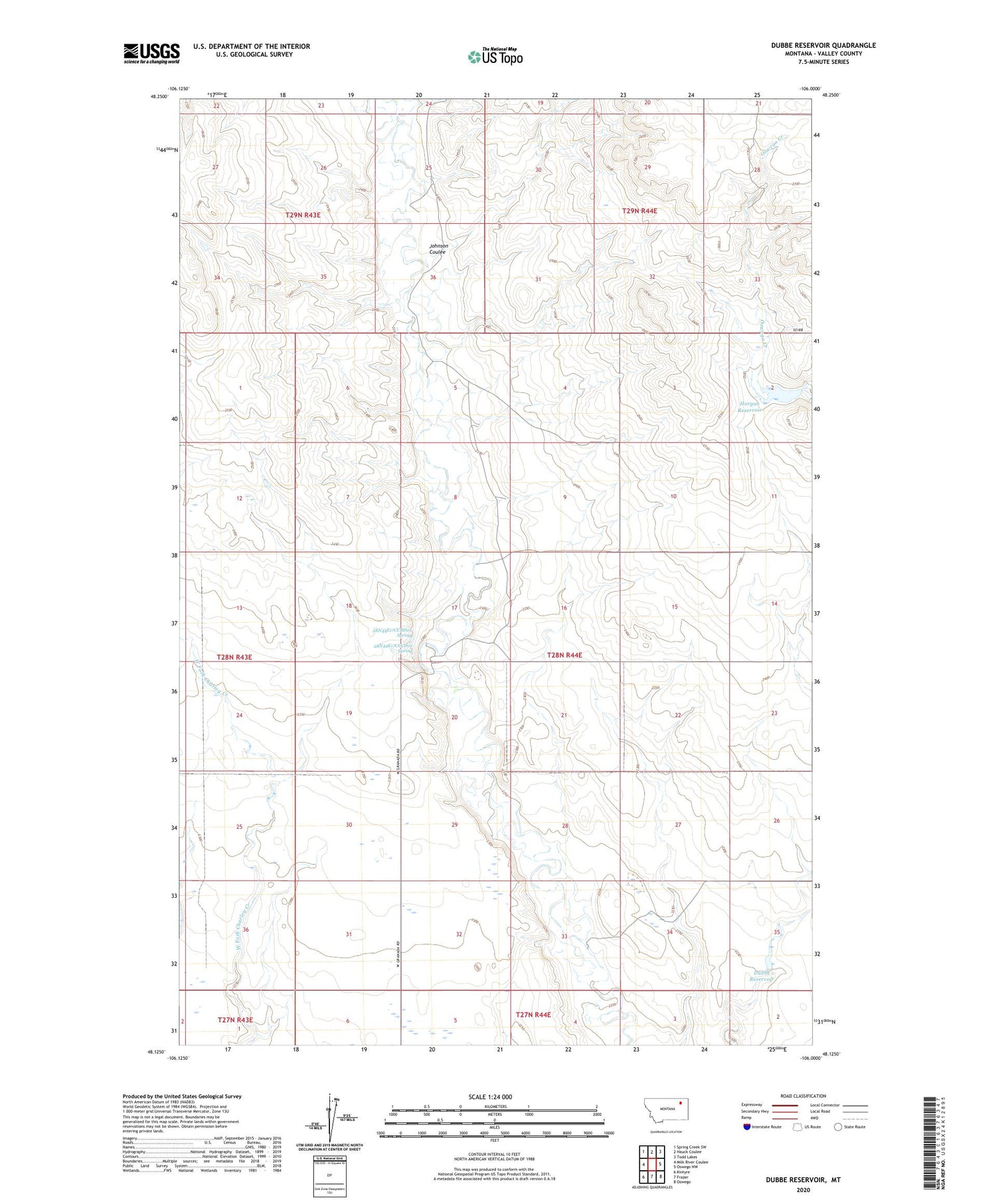
2020 topographic map quadrangle Dubbe Reservoir in the state of Montana. Scale: 1:24000. Based on the newly updated USGS 7.5' US Topo map series, this map is in the following counties: Valley. The map contains contour data, water features, and other items you are used to seeing on USGS maps, but also has updated roads and other features. This is the next generation of topographic maps. Printed on high-quality waterproof paper with UV fade-resistant inks.
Quads adjacent to this one:
West: Milk River Coulee
Northwest: Spring Creek SW
North: Hauck Coulee
Northeast: Todd Lakes
East: Oswego NW
Southeast: Oswego
South: Frazer
Southwest: Kintyre
Contains the following named places: 28N44E17CCBD01 Spring, 28N44E17CCCD01 Spring, 28N44E17CDCC01 Well, Dubbe Reservoir, Dubbe Reservoir Dam, Horgan Reservoir, Horgan Reservoir Dam, Johnson Coulee, Sjurson School