MyTopo
Epsie NE Montana US Topo Map
Couldn't load pickup availability
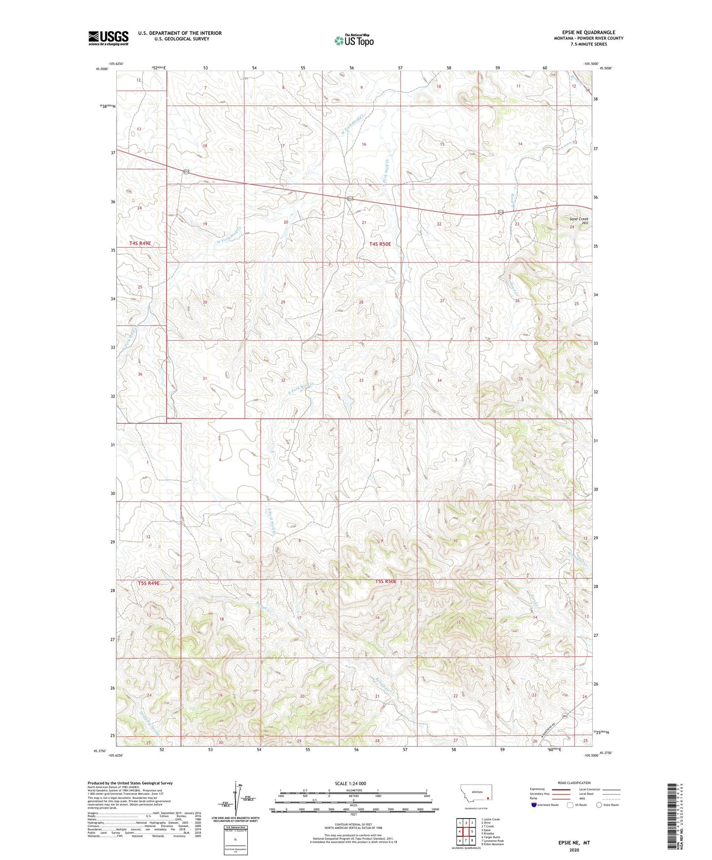
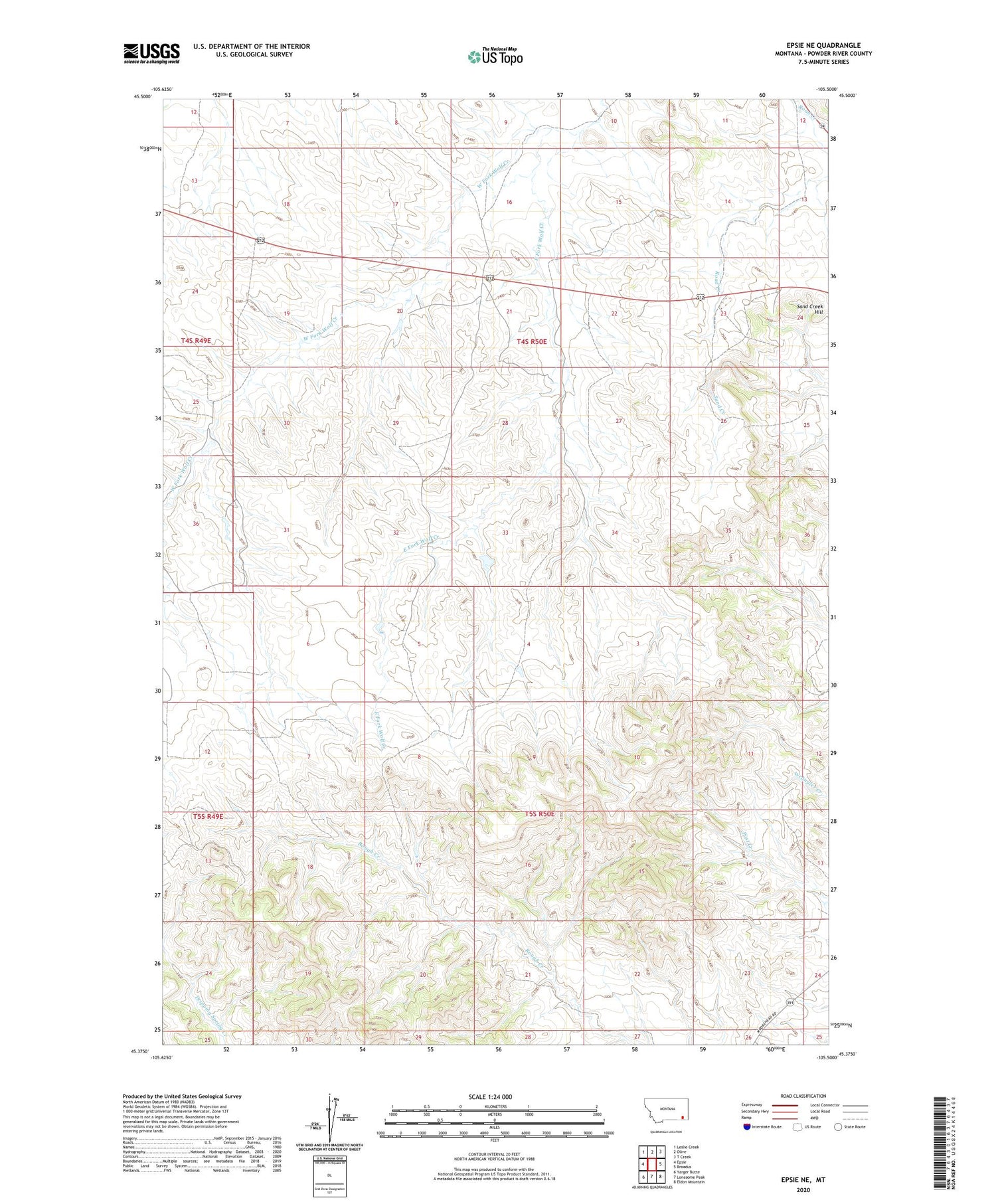
2020 topographic map quadrangle Epsie NE in the state of Montana. Scale: 1:24000. Based on the newly updated USGS 7.5' US Topo map series, this map is in the following counties: Powder River. The map contains contour data, water features, and other items you are used to seeing on USGS maps, but also has updated roads and other features. This is the next generation of topographic maps. Printed on high-quality waterproof paper with UV fade-resistant inks.
Quads adjacent to this one:
West: Epsie
Northwest: Leslie Creek
North: Olive
Northeast: T Creek
East: Broadus
Southeast: Eldon Mountain
South: Lonesome Peak
Southwest: Yarger Butte
Contains the following named places: 04S49E13ABCC01 Well, 04S49E13CCCD01 Well, 04S49E13DBCA01 Well, 04S49E13DBCD01 Well, 04S49E13DBCD02 Well, 04S49E25ADCC01 Well, 04S49E25DABB01 Well, 04S50E15DABB01 Well, 04S50E15DABC01 Well, 04S50E17BDAC01 Well, 04S50E19ACDD01 Well, 04S50E19CBAC01 Well, 04S50E20BAAA01 Well, 04S50E20BAAA02 Well, 04S50E22DBAA01 Well, 04S50E23DAAA01 Well, 04S50E31CBCC01 Well, 04S50E31CC__01 Well, 05S50E13CCCA01 Well, 05S50E22CBA_01 Well, Boicourt Mine, East Fork Wolf Creek, Gatlin Mine, Mathew James Number 1 Dam, Peerless Mine, Sand Creek Hill, West Fork Wolf Creek