MyTopo
Leslie Creek Montana US Topo Map
Couldn't load pickup availability
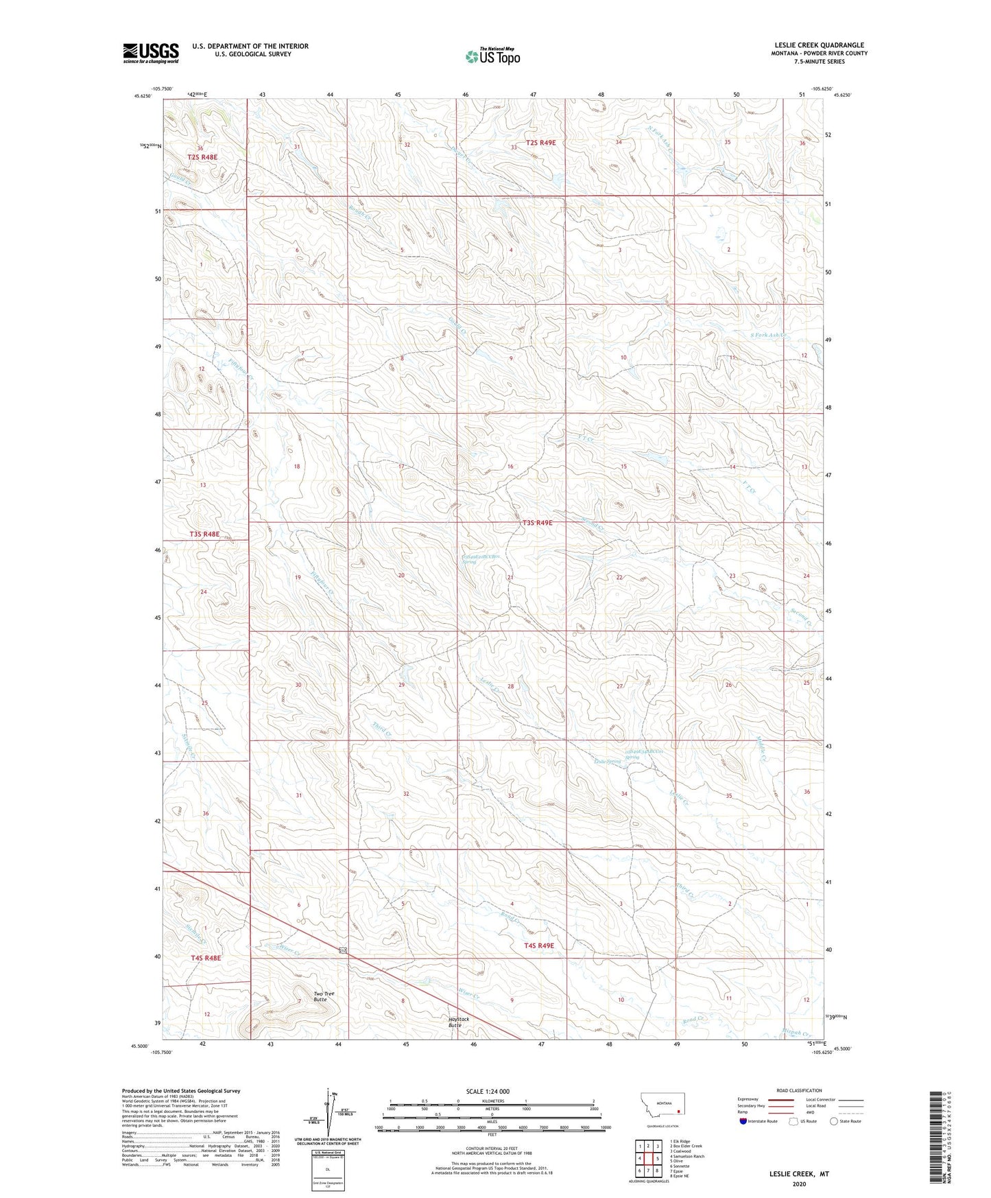
2024 topographic map quadrangle Leslie Creek in the state of Montana. Scale: 1:24000. Based on the newly updated USGS 7.5' US Topo map series, this map is in the following counties: Powder River. The map contains contour data, water features, and other items you are used to seeing on USGS maps, but also has updated roads and other features. This is the next generation of topographic maps. Printed on high-quality waterproof paper with UV fade-resistant inks.
Quads adjacent to this one:
West: Samuelson Ranch
Northwest: Elk Ridge
North: Box Elder Creek
Northeast: Coalwood
East: Olive
Southeast: Epsie NE
South: Epsie
Southwest: Sonnette
This map covers the same area as the classic USGS quad with code o45105e6.
Contains the following named places: 02S49E36BCCB01 Well, 03S48E12ACDB01 Well, 03S49E02CABC01 Well, 03S49E02CACA01 Well, 03S49E03BADB01 Well, 03S49E06CADA01 Well, 03S49E07DBDA01 Well, 03S49E08ADAC01 Well, 03S49E08CCBD01 Well, 03S49E10DBBC01 Well, 03S49E11BADC01 Well, 03S49E14CDBA01 Well, 03S49E14DDDA01 Well, 03S49E16AADD01 Well, 03S49E17CCDA01 Well, 03S49E19BADB01 Well, 03S49E20BBAB01 Well, 03S49E21BCCB01 Spring, 03S49E23DADC01 Well, 03S49E24BBBA01 Well, 03S49E26ADBD01 Well, 03S49E27DCDD01 Well, 03S49E30CCDC01 Well, 03S49E34ABCC01 Spring, 03S49E34ACCB01 Well, 03S49E35DCAD01 Well, 04S49E03ADAA01 Well, 04S49E04CBAB01 Well, 04S49E05BAAB01 Well, 04S49E06BA__01 Well, 04S49E08ABDA01 Well, 04S49E10ACAD01 Well, 04S49E10ADBC01 Well, A Muri Number 2 Dam, Alderman Number 1 Dam, Alderman Number 2 Dam, Aye Number 1 Dam, Haystack Butte, Hutchison Number 1 Dam, Hutchison Number 2 Dam, Leslie Spring, M Gaskill Number 1 Dam, Road Creek, Two Tree Butte