MyTopo
Fanny Hill Montana US Topo Map
Couldn't load pickup availability
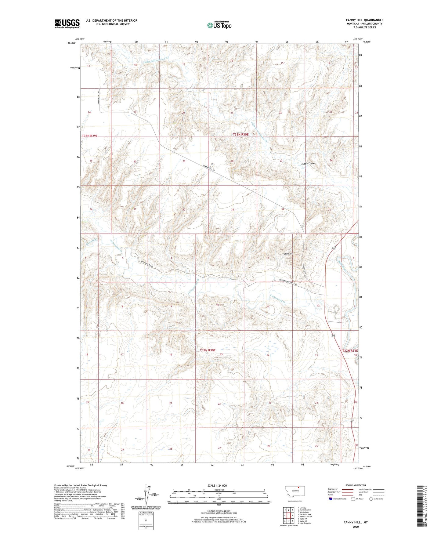
2024 topographic map quadrangle Fanny Hill in the state of Montana. Scale: 1:24000. Based on the newly updated USGS 7.5' US Topo map series, this map is in the following counties: Phillips. The map contains contour data, water features, and other items you are used to seeing on USGS maps, but also has updated roads and other features. This is the next generation of topographic maps. Printed on high-quality waterproof paper with UV fade-resistant inks.
Quads adjacent to this one:
West: Garland Creek
Northwest: Lovejoy
North: Austin Coulee
Northeast: Austin Lake
East: Hewitt Lake SW
Southeast: Lake Bowdoin
South: Malta NE
Southwest: Malta NW
This map covers the same area as the classic USGS quad with code o48107e7.
Contains the following named places: 33N29E24AAAC01 Well, Austin Coulee, Cottonwood Creek, Fanny Hill, Freewater Post Office, Freewater School, Garland Creek, Horsecamp Coulee School, Kropp School