MyTopo
Foster Creek School Montana US Topo Map
Couldn't load pickup availability
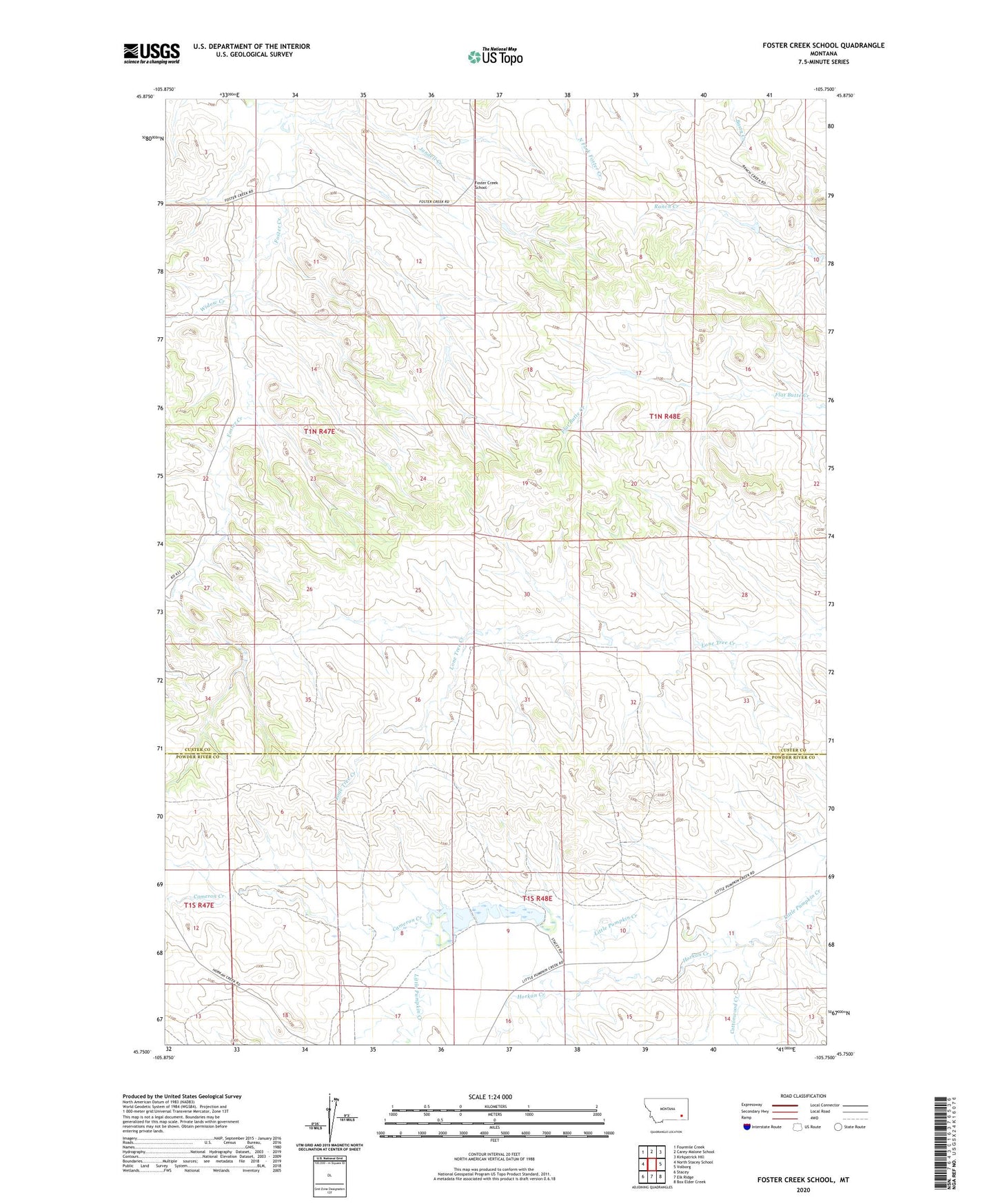
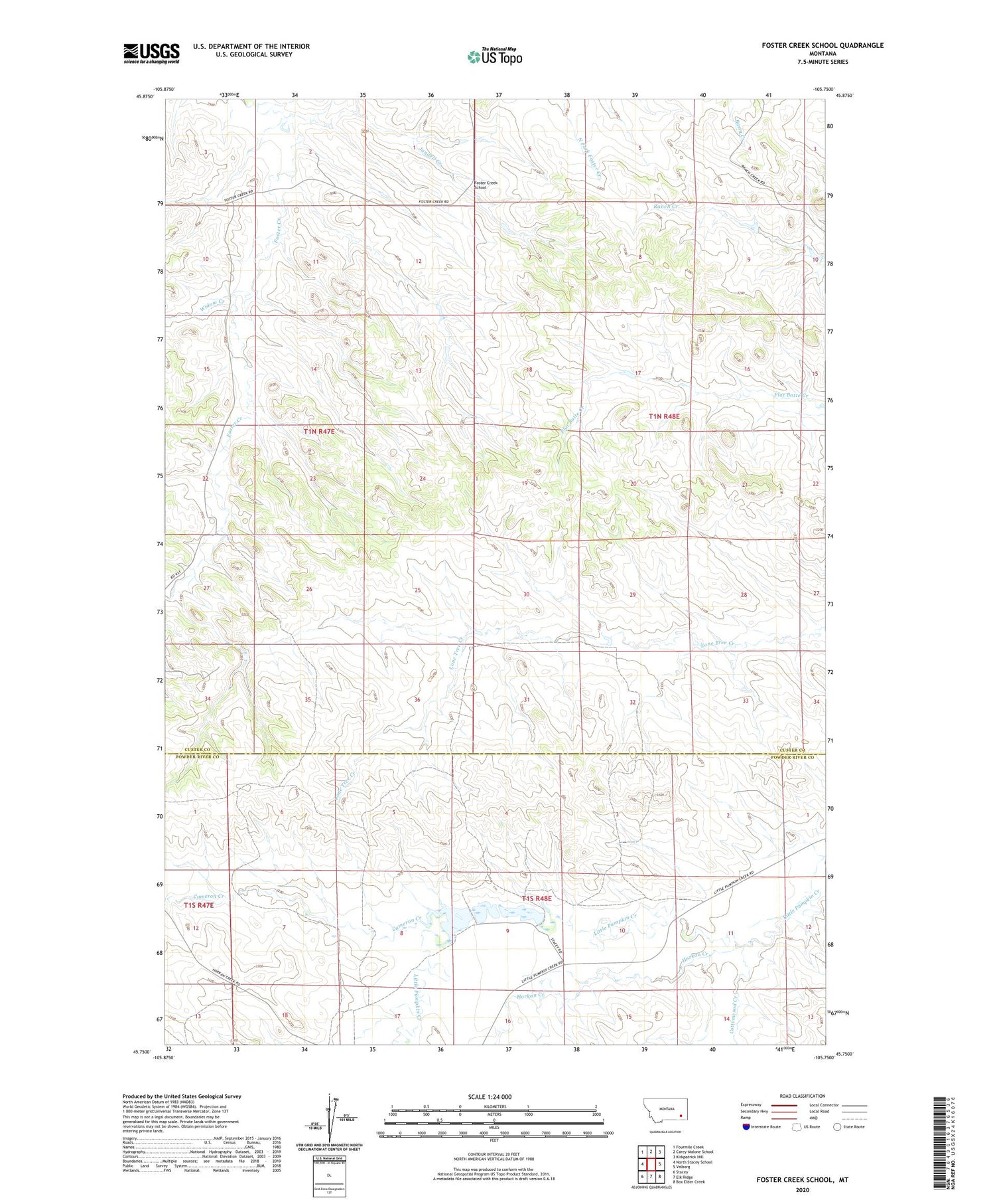
2020 topographic map quadrangle Foster Creek School in the state of Montana. Scale: 1:24000. Based on the newly updated USGS 7.5' US Topo map series, this map is in the following counties: Custer, Powder River. The map contains contour data, water features, and other items you are used to seeing on USGS maps, but also has updated roads and other features. This is the next generation of topographic maps. Printed on high-quality waterproof paper with UV fade-resistant inks.
Quads adjacent to this one:
West: North Stacey School
Northwest: Fourmile Creek
North: Carey-Malone School
Northeast: Kirkpatrick Hill
East: Volborg
Southeast: Box Elder Creek
South: Elk Ridge
Southwest: Stacey
Contains the following named places: 01N47E12BAAC01 Well, 01N47E23DBDD01 Well, 01N47E27CACD01 Well, 01N47E35ABCC01 Well, 01N48E28CDAD01 Well, 01S48E01ACCC01 Well, 01S48E17BBBC01 Well, 59351, Cameron Creek, Cameron Crossing, Cottonwood Creek, Foster Creek School, Green Number 4 Dam, Green Number 5 Dam, Green Number 6 Dam, Green Ranch, Horkan Creek, Jandell Creek, Widow Creek