MyTopo
Gougley Creek Montana US Topo Map
Couldn't load pickup availability
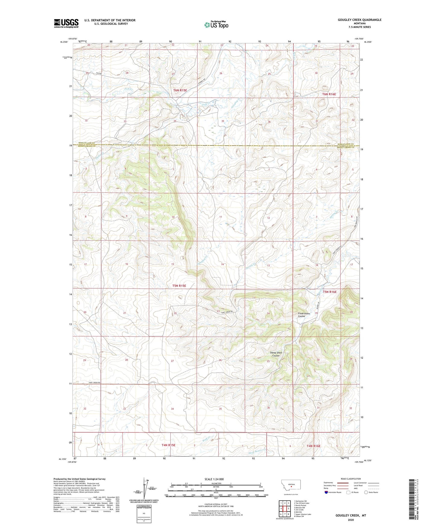
2024 topographic map quadrangle Gougley Creek in the state of Montana. Scale: 1:24000. Based on the newly updated USGS 7.5' US Topo map series, this map is in the following counties: Sweet Grass, Wheatland. The map contains contour data, water features, and other items you are used to seeing on USGS maps, but also has updated roads and other features. This is the next generation of topographic maps. Printed on high-quality waterproof paper with UV fade-resistant inks.
Quads adjacent to this one:
West: Melville NW
Northwest: Harlowton SW
Northeast: Devils Pocket
East: Jim Creek
Southeast: Gibson SW
South: Upper Glaston Lake
Southwest: Melville
This map covers the same area as the classic USGS quad with code o46109b7.
Contains the following named places: 05N15E27AAC_01 Well, 05N15E28D___01 Well, 05N15E34B___01 Well, 05N16E18D___01 Well, 06N15E27____01 Well, Briley Post Office, Fredrickson Coulee, Gougley Creek, Sadie Creek, Sheep Shed Coulee