MyTopo
Gurnett Creek West Montana US Topo Map
Couldn't load pickup availability
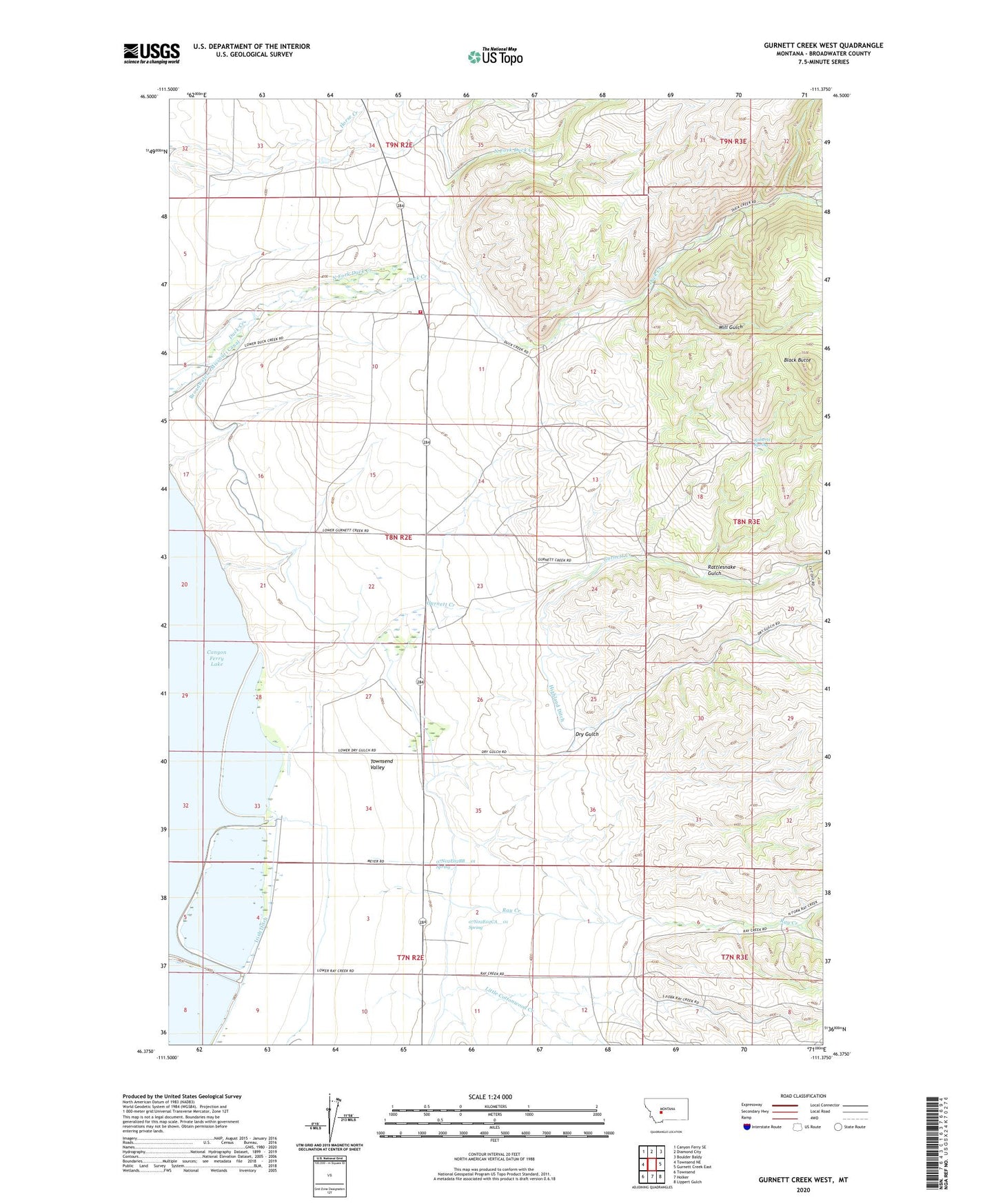
2020 topographic map quadrangle Gurnett Creek West in the state of Montana. Scale: 1:24000. Based on the newly updated USGS 7.5' US Topo map series, this map is in the following counties: Broadwater. The map contains contour data, water features, and other items you are used to seeing on USGS maps, but also has updated roads and other features. This is the next generation of topographic maps. Printed on high-quality waterproof paper with UV fade-resistant inks.
Quads adjacent to this one:
West: Townsend NE
Northwest: Canyon Ferry SE
North: Diamond City
Northeast: Boulder Baldy
East: Gurnett Creek East
Southeast: Lippert Gulch
South: Holker
Southwest: Townsend
Contains the following named places: 07N02E02BB__01 Spring, 07N02E02BD__01 Well, 07N02E02CA__01 Spring, 07N02E03AD__01 Well, 07N02E03ADDA01 Well, 07N02E03BC__01 Well, 07N02E03BC__02 Well, 07N02E03BCBA01 Well, 07N02E03CB__01 Well, 07N02E04AA__01 Well, 07N02E04AB__01 Well, 07N02E04AD__01 Well, 07N02E04AD__02 Well, 07N02E04BA__01 Well, 07N02E04BA__02 Well, 07N02E04BA__03 Well, 07N02E04BA__04 Well, 07N02E04CD__01 Well, 07N02E04CD__02 Well, 07N02E04DB__01 Well, 07N02E04DD__01 Well, 07N02E04DD__02 Well, 07N02E04DD__03 Well, 07N02E08AA__01 Well, 07N02E08AD__01 Well, 07N02E08AD__02 Well, 07N02E08AD__03 Well, 07N02E09AA__01 Well, 07N02E09AABB01 Well, 07N02E09AB__01 Well, 07N02E09AC__01 Well, 07N02E09AC__02 Well, 07N02E09BA__01 Well, 07N02E09BA__02 Well, 07N02E09BA__03 Well, 07N02E09CA__01 Well, 07N02E09DA__01 Well, 07N02E09DB__01 Well, 07N02E10AD__01 Well, 07N02E10BB__01 Well, 07N02E10BD__01 Well, 07N02E10DA__01 Well, 08N02E03DC__01 Well, 08N02E03DC__02 Well, 08N02E03DD__01 Well, 08N02E09BC__01 Well, 08N02E10AA__01 Well, 08N02E11AB__01 Well, 08N02E14BB__01 Well, 08N02E14BBBC01 Well, 08N02E20AA__01 Well, 08N02E21CA__01 Well, 08N02E21CD__01 Well, 08N02E23CBBA01 Well, 08N02E23CC__01 Well, 08N02E23CC__02 Well, 08N02E23CC__03 Well, 08N02E28AC__01 Well, 08N02E28AC__02 Well, 08N02E28CB__01 Well, 08N02E28CD__01 Well, 08N02E29AD__01 Well, 08N02E29DD__01 Well, 08N02E29DD__02 Well, 08N02E32AA__01 Well, 08N02E33BC__01 Well, 08N02E33BC__02 Well, 08N02E33BC__03 Well, 08N02E33DA__01 Well, 08N02E33DB__01 Well, 08N02E33DB__02 Well, 08N02E33DB__03 Well, 08N02E34BA__01 Well, 08N02E34CB__01 Well, 08N02E34CD__01 Well, 08N02E35BCDD01 Well, 08N03E30AA__01 Well, 08N03E30AA__02 Well, 09N02E33CD__01 Well, 09N02E34DAAA01 Well, 59644, Black Butte, Canton School, Doggett Ranch, Domer Ranch, Dry Gulch, Duck Creek Fire Department, Duck Creek School, Duck Fields Dam, Gurnett Creek, Highland Ditch, Irish Ditch, Little Cottonwood Creek, Mahoney Ranch, Marks Ranch, Mary Smith Ranch, Merritt Ranch, Middle Fork Duck Creek, Mill Gulch, Montana Ditch, Myer Ranch, NE NW Section 5 Mine, North Fork Duck Creek, North Fork Ray Creek, NW SE Section 5 Mine, NW SE Section 6 Mine, Rattlesnake Gulch, Ray Creek, Roberts Spring, Round Grove Ranch, Saint Josephs Church, Townsend East Division, Weiferich Ranch, Whaley Ranch, Whaley School, Yankee Ditch